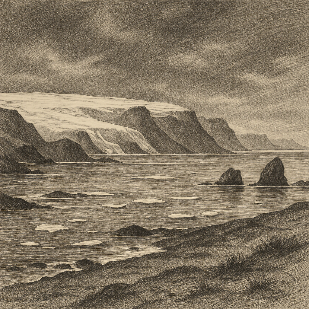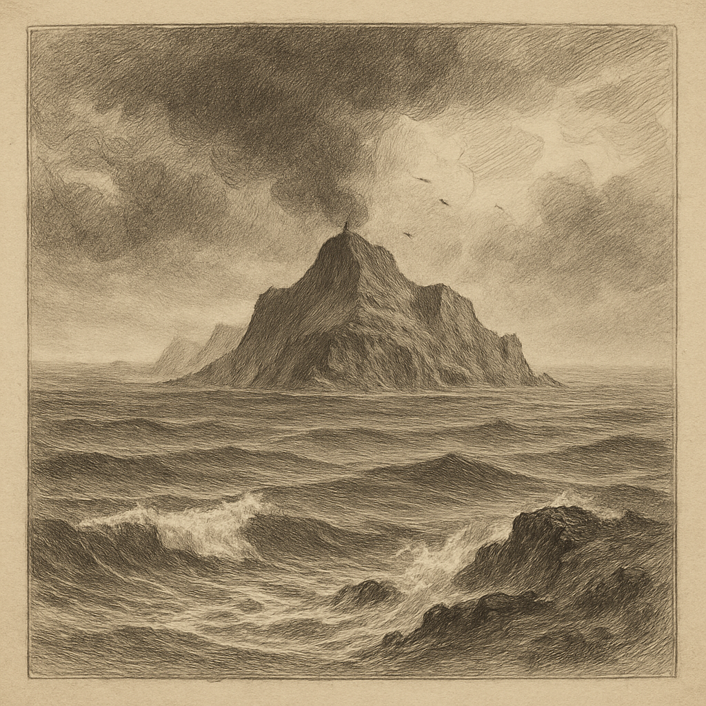
Few scraps of land have entered history so completely through desperation. In the Southern Ocean, off the tip of the Antarctic Peninsula in the South Shetland chain, Elephant Island rises as an ice-clad, mountainous mass with no trees, no settlement, and almost no level ground. Its coast is a hard arrangement of cliffs, glaciers, rock, and narrow beaches, much of it exposed to surf and weather that can turn a landing into a gamble. Even by polar standards it feels out of the way: a place encountered not by accident exactly, but by misfortune.
The island is often described as the outer edge of the South Shetlands, but that understates its character. It stands apart, battered by the confluence of cold seas and notorious winds. Peaks and ridges are heavily glaciated; ice pours down toward a shore where sea ice may come and go, but swell and storm remain constant companions. Its name is usually linked to the southern elephant seal, Mirounga leonina, once seen there by early visitors, though some accounts also note the elephant-head shape sailors thought they recognized in parts of the coastline. Either way, the name belongs to an age when mariners fixed memory to what they could seize quickly: an outline, an animal, a hazard.
The beach that entered the record
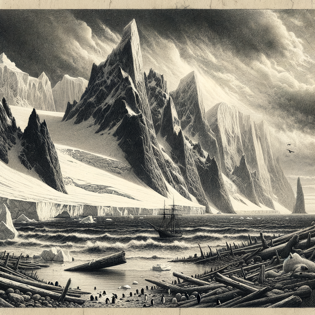
What gives the island its enduring charge is not discovery in the grand old style but survival at its thinnest margin. In April 1916, after the Endurance had been crushed by pack ice in the Weddell Sea and months had passed on drifting floes, Ernest Shackleton and 27 men reached this shore in open boats. They landed at Point Wild, a spit so cramped and exposed that the camp had to be improvised from overturned boats and makeshift walls. Frank Wild, left in command when Shackleton departed again, kept the stranded party alive through an Antarctic winter of waiting.
The decision that followed has become one of polar history’s defining acts. Shackleton and five companions sailed the 22.5-foot James Caird from here to South Georgia, an extraordinary open-boat voyage of about 800 nautical miles across one of the roughest seas on earth. The men left behind stayed on a beach with almost nothing that could be called shelter, feeding themselves on seals and penguins, burning blubber, and watching the horizon for a ship that did not appear for months. On 30 August 1916, the Chilean vessel Yelcho, commanded by Luis Pardo, finally reached them. Every man was taken off alive.
That rescue fixed the place in public memory, but the details make it stranger and harsher than legend sometimes allows. Point Wild was not a dramatic refuge in any generous sense. It was a pinched foothold under snow and rockfall, with the sea directly in front and ice above. The camp remains one of the most famous accidental habitations in Antarctica precisely because it was so nearly uninhabitable.
A coast of breeding colonies and closed horizons
Outside that episode, human presence has been brief: sealing and whaling-era visits in the nineteenth century, occasional surveying, modern expedition ships when conditions allow, and scientific interest tied to the wider Antarctic region. There has never been a permanent population. The island falls within the area governed by the Antarctic Treaty system, and access today is shaped by environmental rules as well as weather, ice, and the practical difficulty of landing.
Life, however, is not absent. The shore and offshore stacks support dense colonies of seabirds and penguins characteristic of the maritime Antarctic. Chinstrap penguins, Pygoscelis antarcticus, and macaroni penguins, Eudyptes chrysolophus, breed in the region, and seals haul out along accessible beaches. Where humans see desolation, the Southern Ocean sees a working coast: nutrient-rich waters, seasonal abundance, and a narrow summer window in which entire cycles of breeding and feeding must be completed.
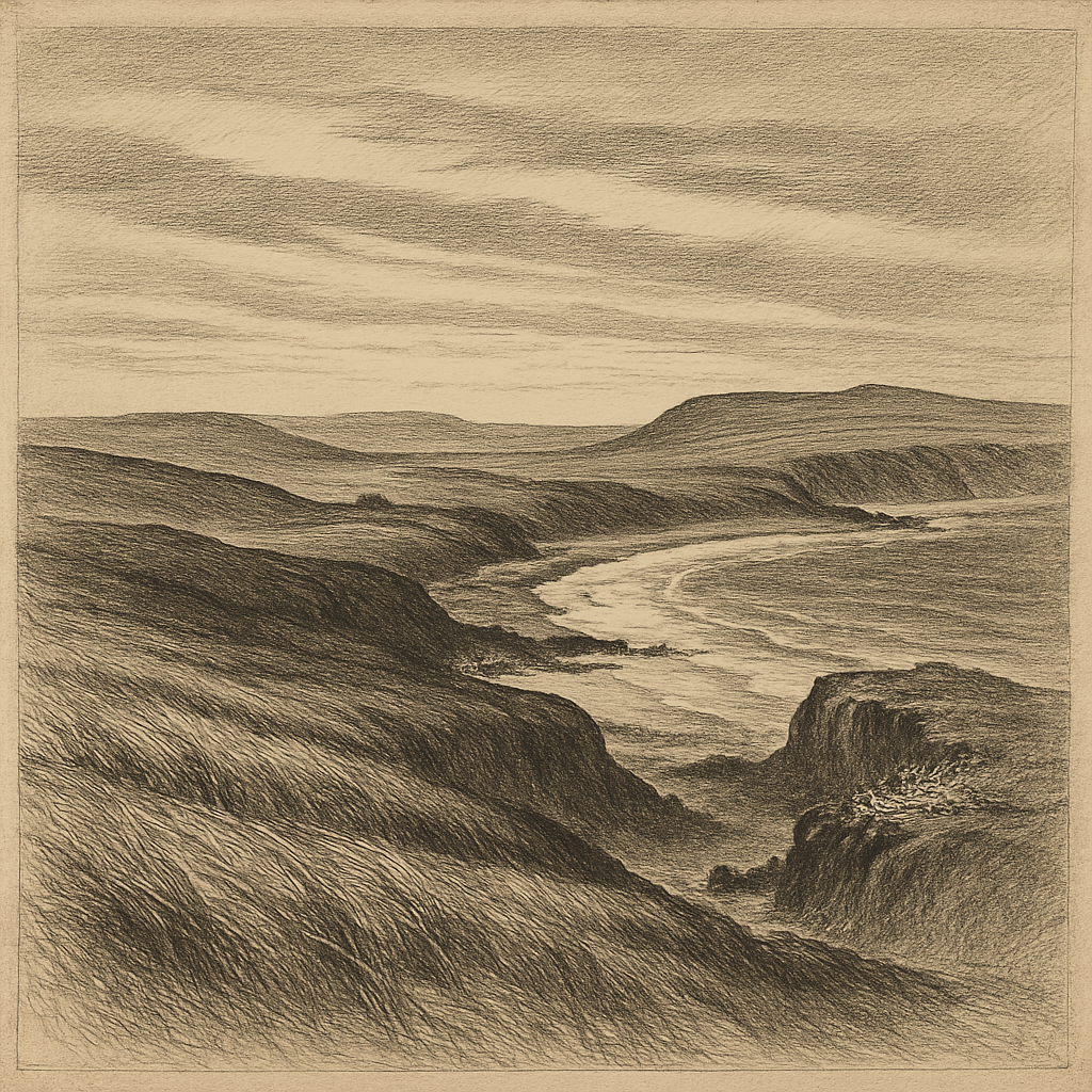
The interior remains largely a country of ice and elevation rather than traversable ground. Clouds can close it in quickly; distances that look modest on a chart become impassable in reality. This is one reason the island has retained such a concentrated identity. There are no villages, no roads, no softened edges of repeated use. Its best-known place is a camp site born of emergency; its broader landscape is still read mainly from a ship’s deck, a zodiac, or a distant slope of sea.
What isolation sounds like in the far south
Some remote islands acquire complexity through layers of settlement. This one acquires it through compression. A few names, a few landings, a single beach famous beyond its size: that is enough. The result is an unusual kind of historical atmosphere, in which the physical setting and the human story reinforce each other almost too neatly, except that nothing about the actual conditions was neat at all. Wind, spray, unstable ice, darkness, hunger, patience—those are the terms in which the place was experienced.
Seen now, it still refuses any sentimental reading. The glaciers remain. The black rock, when it breaks through snow and ice, looks raw and unfinished. Birds wheel over water that has swallowed stronger craft than the little boat that once pushed away from this coast. Even the famous rescue does not redeem the landscape into comfort. It simply proves that people endured it.
That may be why the island lingers so powerfully in the imagination. Not because it offers a lesson, and not because it stands for wilderness in some abstract way, but because it is exact. There was a beach. There were 28 exhausted men. There was winter coming on. Far from any ordinary route, the island kept its severe shape while history happened on a strip of stone at its edge.