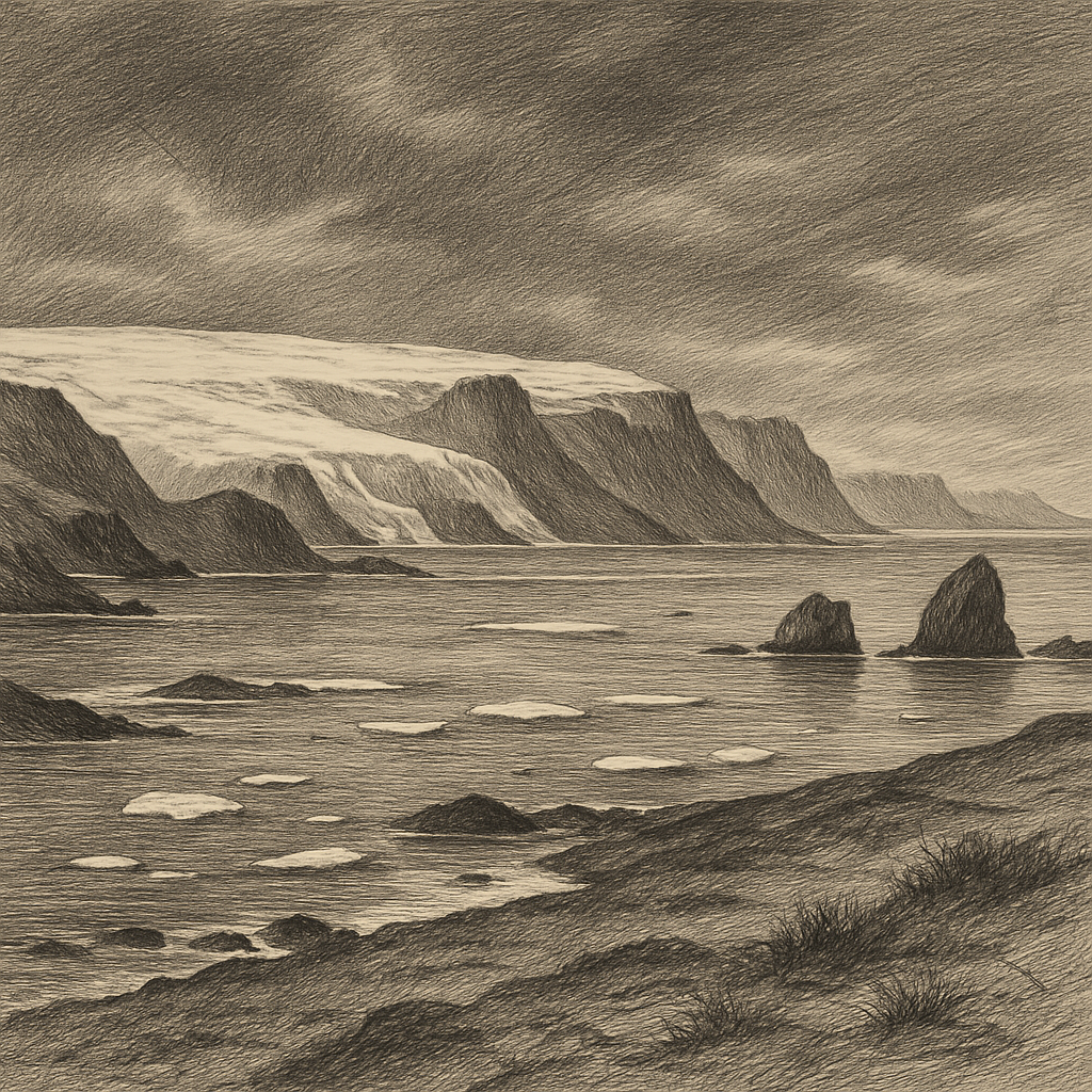
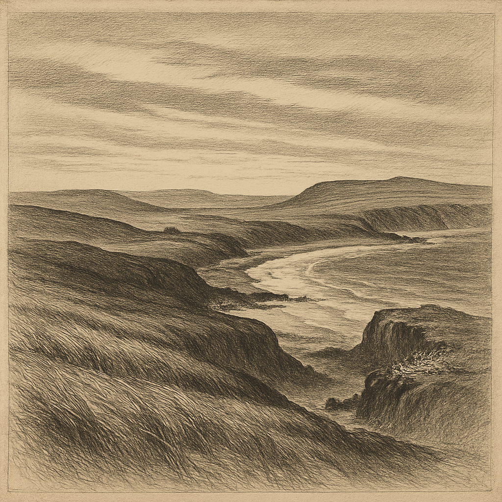
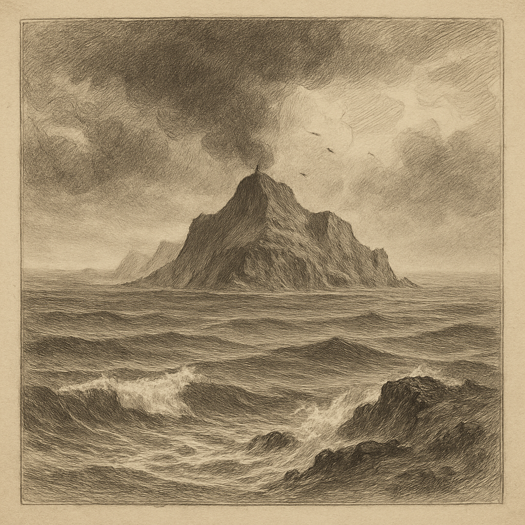
Few pieces of land look less negotiable. Rising from the southeastern Pacific more than 3,000 kilometers west of continental Chile and roughly 390 kilometers east of Rapa Nui, Salas y Gómez is not a place that invites settlement so much as a place that tests the very idea of it. The island is tiny, barren, wave-beaten, and uninhabited: a narrow volcanic outcrop split into two main sectors by a low, sometimes washover neck, with steep coasts and almost no shelter. Its highest ground reaches only a little above sea level by oceanic standards, yet from the deck of a ship it appears abrupt and improbable, a hard interruption in an immense field of water.
Geographically, it belongs to Chile and lies near the eastern end of the Salas y Gómez Ridge, a submarine volcanic chain. On land, that volcanic origin is starkly legible. The surface is built of dark rock, tuff, and weathered lava, with cliffs and ledges exposed to relentless salt and wind. There are no trees, no streams, no permanent human structures, and no reliable source of fresh water. Rain falls, but not in ways that would support ordinary habitation. What little soil exists is thin and vulnerable. In practical terms, landing has always been difficult; in emotional terms, the island seems to have been designed for distance.
A name carried by navigators
European knowledge of the island entered the record in the eighteenth century. It was seen in 1793 by the Spanish navigator José Salas Valdés, and its modern compound name also preserves that of José Manuel Gómez, associated with the voyage. Like many remote Pacific landmarks, it passed first into history as a sighting, a notation, a fix in an ocean where any scrap of land mattered to navigation. Yet unlike larger islands that became anchorages, plantations, penal colonies, or missionary stations, this one offered almost nothing that empires or merchants typically sought. Its obscurity was not accidental. It was a consequence of the island’s scale, exposure, and lack of water.
That did not make it irrelevant. Polynesian voyaging connected it culturally to Rapa Nui, and archaeologists have found evidence that people from Easter Island reached it before European contact. The island’s Polynesian name, Motu Motiro Hiva, has often been understood as something like “islet on the way to a distant land,” a phrase that deepens rather than resolves its mystery. It suggests movement, orientation, and memory across the sea, not residence. Even in that older human geography, the island seems to have functioned less as a home than as a marked point in a wider oceanic world.
More bird than land
If people have rarely stayed, seabirds have done far more than visit. The island is one of the most important seabird sites in eastern Polynesia, with breeding populations that have long drawn scientific attention. Sooty terns, masked boobies, red-tailed tropicbirds, great frigatebirds, and other pelagic species have used its ledges and open ground. In a region where many islands were altered by settlement, introduced animals, or large-scale disturbance, this small outcrop retained unusual value precisely because so little happened there. It remained, in biological terms, comparatively intact.
The surrounding sea matters as much as the rock itself. The waters around the island lie within a zone of exceptional marine significance, recognized by Chile through large marine protected areas established in the region in the twenty-first century. The island and nearby seamounts are associated with high levels of endemism among marine life, including fishes and invertebrates recorded by modern oceanographic research. Isolation here works in two directions: it limits intrusion, and it allows evolution to proceed in relative separation.
That same isolation has also made the island scientifically tantalizing. Because it is so hard to reach and so inhospitable to ordinary use, every landing has the character of a field note wrested from the open Pacific. Ornithologists, geologists, and marine researchers have approached it not as a scenic destination but as a rare station in a vast, underobserved part of the ocean.
What the charts cannot soften
On paper, the island is minute. In experience, it is severe. The surf can make approach hazardous, and the lack of any natural harbor turns even a short visit into an exercise in timing and caution. That difficulty has helped preserve the island’s strange integrity. There is no layered streetscape of ruins, no sequence of occupations to narrate, no romantic debris field of a lost community. The drama here comes from subtraction: almost no fresh water, almost no level ground, almost no human trace.
And yet it is not empty in any trivial sense. It sits inside one of the world’s great oceanic distances, linked to deep Polynesian voyaging, to Spanish navigation, and to modern conservation science. Its significance lies not in size but in concentration. A few hectares of volcanic ground hold together themes that usually sprawl across continents: exploration, ecological refuge, the limits of settlement, the persistence of nonhuman life where human use scarcely gained a foothold.
Long after a vessel has passed it, the impression remains oddly exact. Not a paradise, not a ruin, not a frontier town reduced to stone, but a bare, bird-claimed point in the Pacific that has resisted nearly every story people prefer to tell about islands. It endures as something rarer: a place whose reality is harder, smaller, and more compelling than myth.