Oost-Eierland Island: A Remote Haven in the Wadden Sea
Nestled in the northern reaches of the Netherlands in the Wadden Sea, Oost-Eierland Island is a little-known but captivating piece of land that once formed part of the Frisian Islands archipelago. Though no longer a separate island today due to land reclamation efforts in the 19th century, its legacy, natural beauty, and cultural echoes remain an intriguing chapter in Dutch maritime geography.
Geographic Location and Origins
Oost-Eierland was historically located at the northeastern tip of Texel, the largest of the Dutch Wadden Islands. Positioned in the Wadden Sea—an intertidal ecosystem famed for its biodiversity—the original island known as Oost-Eierland gradually merged with Texel due to continuous sediment deposition and human intervention via dike construction.
The Wadden Sea itself is part of the North Sea and lies along the maritime corridors of the Netherlands, Germany, and Denmark. The name “Oost-Eierland” translates roughly to “East Egg Land,” possibly referring to its original oval shape or the practice of collecting seabird eggs, which was common in the region.
Geology and Environmental Features
The landmass of Oost-Eierland was formed predominantly by natural sedimentation processes characteristic of the Wadden Sea. Tides and wind-driven currents shaped its shorelines, creating salt marshes, sandbanks, and dunes. Apart from acting as protective buffers against the sea, these features fostered a unique habitat suitable for coastal fauna and flora.
Following the dyke completion in 1835, Oost-Eierland was effectively joined to the main island of Texel. What used to be sea and tidal flats is now polderland, reclaimed and protected by human engineering. While no longer technically an independent island, this area retains some of the wild character it once had, especially in the nearby De Slufter nature reserve, which showcases what the original landscape may have looked like centuries ago.
Flora, Fauna, and Ecology
Oost-Eierland and its surrounding habitat are critical stops on the East Atlantic Flyway—a key migratory route for birds. The mudflats teem with life such as worms, shellfish, and crustaceans, attracting wading birds and ducks in the thousands.
Today, the former island area hosts several protected areas where local and migratory species breed and feed. While much of the polder is used for agriculture, pockets of rewilded terrain remain, hosting endemic plant life like sea lavender, salt-tolerant reeds, and wild grasses.
The dike-protected land behind Oost-Eierland is especially significant for avian enthusiasts. Spoonbills, godwits, and redshanks are among the many species that can be observed nesting in the area during spring and summer.
Interesting Facts and Cultural Significance
Though often overshadowed by better-known regions like Amsterdam or the Keukenhof tulip fields, Oost-Eierland is not without its charm and mystery. The island was once a critical point for early shipping navigation and egg harvesting. The name even appears on sea charts dating back centuries, used by sailors navigating the treacherous waters of the Wadden Sea.
An airfield, De Vliehors, now occupies parts of the former island, used by the Dutch military for training purposes. Interestingly, Oost-Eierland is also home to the Texel International Airport, a small hub for general aviation and a base for skydiving adventures that offer spectacular views over the North Sea and the Fram Islands.
Additionally, the Eijerlandse Dam, the 19th-century reclamation project that fused the island to Texel, still marks a place of considerable engineering history and Dutch ingenuity in managing coastal landscapes.
Legends and Maritime Lore
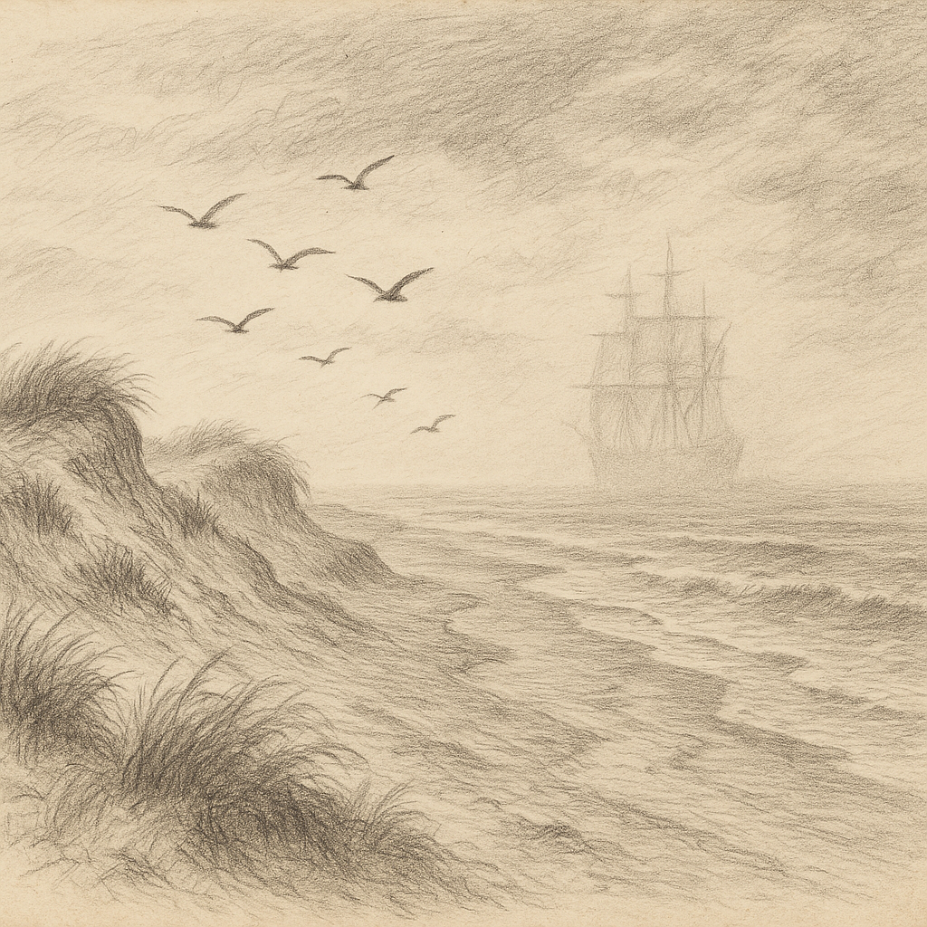
Maritime lore envelops Oost-Eierland in an air of mystery. One of the most enduring legends tells of a ghost ship, De Groene Vloot (“The Green Fleet”), seen drifting silently near the island during heavy fogs. Locals say the spectral ship is captained by a doomed sailor who ventured into the Wadden Sea from Friesland centuries ago, never to return. The ship is occasionally spotted during moonlit nights and always disappears upon closer inspection.
Folklore also suggests that Oost-Eierland was a gathering point for pirates during the 16th century. Hidden coves and inlets—now vanished with the changing tides—supposedly served as safe anchorage for smugglers moving goods between the mainland and foreign shores.
In another tale, the area was believed to be cursed by a sea-witch who had been chased from the mainland. Whenever storms brewed unusually quickly over Oost-Eierland, it was said she had returned to reclaim her island.
Access and Modern Use
Visitors can reach the area formally known as Oost-Eierland via the Dutch island of Texel, which is accessible by ferry from Den Helder. From here, visitors can rent bicycles or follow well-marked hiking trails to the former island’s area and enjoy pristine natural settings, bird-watching platforms, and maritime museums.
While not challenging to access like some remote isles, Oost-Eierland still preserves a distinct air of isolation and untamed beauty. Its flat terrain opens vast panoramas punctuated by windmills, sheep-dotted fields, and a horizon where sea and sky blur in ever-changing weather patterns.
Preservation and Future Prospects
The Netherlands continues to invest in ecological preservation in and around Oost-Eierland, particularly through partnerships with environmental organizations like Staatsbosbeheer and Natuurmonumenten. Rewilding initiatives, public education, and restricted zoning all aid in maintaining this region’s delicate balance between land and sea.
Although no longer an island in the strictest sense, Oost-Eierland endures in name, landscape, and legend—and in doing so, offers a quiet but powerful narrative of the Netherlands’ relationship with its maritime past and environmental future.