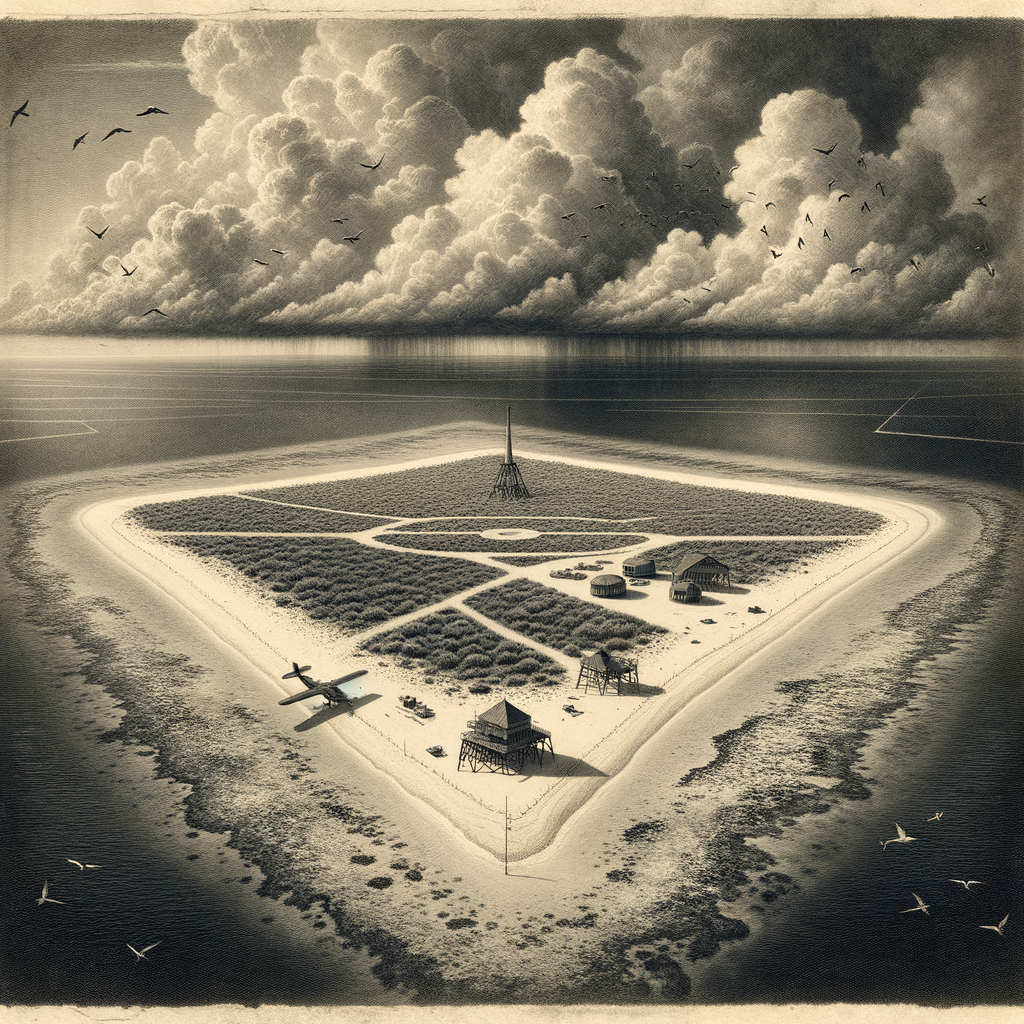
Names can mislead, and this one has done so for more than a century. Marcus Island is the older Western name for Minamitorishima, a tiny Japanese coral island set far out in the northwestern Pacific, almost absurdly alone. It lies southeast of mainland Japan and east of the Ogasawara Islands, closer in spirit to the open ocean than to any human neighborhood. From above, it is not dramatic in the usual sense: no cliffs, no volcano, no mountain profile announcing itself to the horizon. Instead there is a low triangular ring of raised coral enclosing a shallow lagoon, a scrap of land only a few square kilometers in area, barely lifting itself above sea level.
That modest shape is part of its strangeness. So much geopolitical weight, scientific attention, and logistical effort have gathered around a place that, in physical terms, is slight. The island is administered by Japan and has no civilian population. What exists there now is functional rather than domestic: a weather station, a small airstrip, facilities used by the Japan Meteorological Agency, the Maritime Self-Defense Force, and the Coast Guard. Life on the island is rotational, temporary, procedural. Nobody simply lives there in the ordinary sense. People are posted, supplied, relieved.
A reef with a long paper trail
Although isolated Pacific navigators may have known of it earlier, the island entered wider documented history in the nineteenth century. It was sighted by the American whaling ship Marcus in 1864, which gave rise to the English name. In 1898 Japan formally incorporated it, during a period when distant ocean territories were being drawn into imperial systems by survey, claim, and supply ship. For a time there was an attempt at settlement under Shinroku Mizutani, who established activities including feather collecting and the processing of marine products. That settlement never became substantial in the way colonial planners sometimes imagined. Distance was always the dominant fact.
The twentieth century tightened the island’s connection to strategy. During the Second World War it served Japan as a remote military outpost. Its position made it useful for communications and weather observation, but also exposed. American forces attacked it from the air, and by the end of the war the garrison’s isolation had become severe. After 1945 the island came under United States control, along with other Japanese possessions in the region, before being returned to Japan in 1968. Since then, its role has remained practical and state-centered: meteorology, surveillance, communications, ocean science.
Even in this administrative history there is a peculiar rhythm. Elsewhere, islands gather stories through markets, churches, family graves, and generations of memory. Here the record is made of annexations, stations, runways, and weather reports. The human mark is real, but it never quite softens into settlement.
Low ground, wide consequences
Its physical smallness conceals a larger significance. Because Minamitorishima is an island under the United Nations Convention on the Law of the Sea, it helps generate an extensive exclusive economic zone for Japan across a broad area of the Pacific. In legal and maritime terms, this sliver of coral projects influence far beyond its shoreline. That alone would make it notable. Yet the place has also drawn interest for what may lie on and beneath the surrounding seabed: rare earth-rich muds in the wider area have been the subject of scientific and economic attention, linking the island to contemporary anxieties about resources and supply chains.
The environment itself is exacting. The climate is tropical, the sun severe, the land flat and exposed. Fresh water is limited and must be carefully managed. Typhoons pass through this oceanic quarter with brutal indifference. The island’s low elevation makes it vulnerable in a way that can be measured in meters, not metaphors. Every structure there stands with the knowledge that wind and salt will test it continuously.
Nature persists within those constraints. Seabirds use the island and its surrounding waters; the reef and adjacent ocean support marine life characteristic of remote tropical Pacific environments. Yet this is not a lush island in the popular imagination. It is spare, bright, and hard-edged, with vegetation shaped by salt, heat, and thin soil over coral limestone. What makes it memorable is not abundance but exposure.
The far station
Remote islands often attract legend, but this one’s aura comes less from folklore than from documented solitude. The weather station is a fitting emblem. Meteorology is an art of patience and recurrence, and few places seem more suited to that discipline: pressure systems arriving from distances that have no human scale, cloud fields building over empty water, the long reading of sea and sky. In such a setting, observation becomes a form of occupation.
There is something almost severe about the island’s modern identity. It is visited mostly by personnel, aircraft, and ships with tasks to perform. It appears in news reports when storms threaten, when military geography sharpens, or when the economics of the seabed briefly turn public attention toward it. Then it slips back into obscurity, as if the ocean had reclaimed not the land itself but the world’s concentration.
What remains striking is the mismatch between appearance and consequence. A low coral triangle, vulnerable to weather and nearly impossible to romanticize in conventional terms, has endured as a name on naval charts, a coordinate in weather networks, a hinge in maritime law, and a reminder that remoteness does not diminish importance. Some islands command notice by rising high. This one does it by holding on, barely above the Pacific, where almost everything around it is moving except the reef.