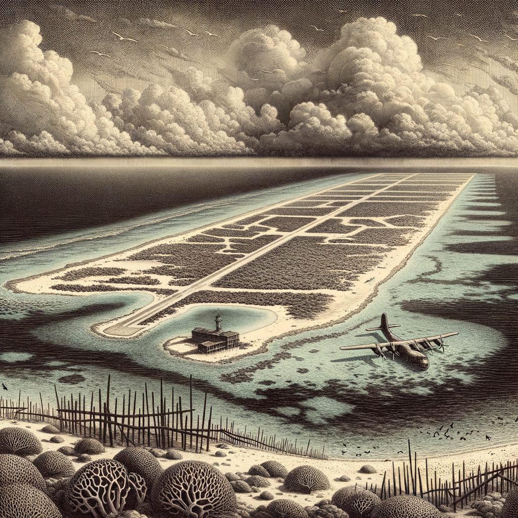
Few specks of land have carried a burden as strange as this one: a low coral outpost in the North Pacific, far from any continent, repeatedly remade by military purpose and then left to weather the memory of it. Johnston Island lies roughly 860 miles southwest of Hawaiʻi, part of the United States Minor Outlying Islands, on an isolated atoll whose dry, glaring surfaces and surrounding reef seem almost improvised against the size of the ocean. From above, the place is spare and geometric, a scatter of reclaimed land and coral enclosing a shallow lagoon. At sea level it is flatter still, without the drama of cliffs or peaks, exposed to sun, trade winds, and the long patience of waves.
The atoll was noted by Western navigators in the early nineteenth century; its name is generally tied to Captain Charles J. Johnston of the British brig Cornwallis, who reported it in 1807 after an earlier sighting by the American ship Sally. Like many remote coral islands, it first entered imperial attention for reasons that now sound almost incidental: seabirds, guano, strategic position. Under the U.S. Guano Islands Act, it was claimed in 1858, though possession and administration shifted in practice before the United States firmly consolidated control. The basic facts of the place remained stubbornly simple. It had no freshwater, no Indigenous population, and no obvious path toward ordinary settlement. Whatever happened here would be imported from elsewhere.
A runway laid across a reef
In the twentieth century, the atoll became less a destination than an instrument. Dredging and fill altered its shape. What had been a small natural island was expanded, and additional artificial islands were created or enlarged for military use. During the Second World War and after, its remoteness turned from inconvenience into advantage. An airfield was built. Fuel, equipment, barracks, radar, and communications facilities followed. The logic was strategic and unsentimental: an isolated platform in mid-ocean could support operations, surveillance, and testing far from major population centers.
That role became darker during the Cold War. The atoll was used in connection with high-altitude nuclear tests in the late 1950s and early 1960s, including launches associated with Operation Hardtack and Operation Dominic. One of the most notorious episodes came in 1962 with the “Bluegill Prime” missile accident, when a failed launch led to plutonium contamination around the launch area. Cleanup efforts followed, but the event helped fix the island’s reputation as a place where hazardous experiments went wrong a very long way from public view.
Later, Johnston became one of the United States’ principal sites for the storage and destruction of chemical weapons. Beginning in the 1970s and intensifying in the 1990s, the Johnston Atoll Chemical Agent Disposal System processed stockpiled nerve and blister agents shipped there from other Pacific locations and from Europe. The facility operated under strict security and international scrutiny until the destruction mission was completed in 2000. By then, the atoll had spent decades serving as a sealed edge-zone of American military history: useful precisely because almost nobody lived nearby.
After the sirens
Closure did not instantly turn the place into a blank. Contaminated soil had to be managed, structures dismantled, and ecological damage assessed. The airfield and military compound that once gave the island its function became signs of an ending. In 2004, most remaining federal activity ceased. Today the atoll is managed as part of the Pacific Remote Islands Marine National Monument, and public access is tightly restricted. What remains is not an abandoned island in the romantic castaway sense, but a heavily controlled absence, where entry is limited and history is embedded in engineered ground.
Yet the nonhuman life of the atoll has persisted with a stubborn force of its own. Coral islands this remote are important breeding habitat for seabirds, and Johnston supports species such as the red-tailed tropicbird, brown booby, sooty tern, and great frigatebird. Green sea turtles (Chelonia mydas) use its shores, and the surrounding waters hold the richer story of the monument: reefs, pelagic fish, and migratory routes that connect this tiny ring of land to a far larger oceanic system. The landscape still bears marks of alteration, but it is not static. Salt, wind, nesting birds, and marine growth continue the slower work that follows every human project.
The kind of place maps remember
There are islands whose fame comes from beauty, and islands whose names survive because ships wrecked there or legends took root around them. This one is memorable for another reason. Its drama has always been procedural, almost bureaucratic, yet no less eerie for that: claims filed under a guano law, a runway pushed across coral, missiles launched into tropical sky, toxic stockpiles guarded behind fences, then years of cleanup on a horizon otherwise empty in every direction. The facts are plain enough; the atmosphere they create is harder to shake.
Distance has a different texture here. It is not the picturesque remoteness of a forgotten paradise, but the deliberate isolation chosen for acts that governments preferred to conduct far from ordinary life. Even so, the atoll refuses to be only a footnote of strategy. Set amid vast water and fierce light, it has outlasted each assigned purpose. What lingers now is a rare conjunction: a place at once ecologically significant, historically compromised, and physically so slight that from the deck of a ship it might seem impossible that so much of the twentieth century once pressed down upon it.