Agalega Island: A Remote Gem in the Indian Ocean
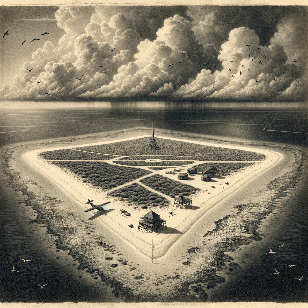
Agalega Island is a remote and scarcely inhabited territory located in the Indian Ocean, forming part of the Republic of Mauritius. Comprising two smaller islands—North Island and South Island—Agalega is known for its lush tropical setting, strategic importance, and traditional way of life. Here is a comprehensive overview of this enigmatic island:
Geographical Location and Composition
Agalega lies approximately 1,100 kilometers north of Mauritius and roughly 2,500 kilometers southwest of India. The islands are situated near the Tropic of Capricorn and are part of the Mascarene Islands, although more isolated than their sister islands, Mauritius and Rodrigues.
The territory consists of two coral islands: North Island, which is the larger of the two and houses nearly all of the archipelago’s population, and South Island, which remains almost entirely uninhabited. The total area of Agalega sums up to around 70 square kilometers, with a narrow stretch of land forming lagoons and shallow bays along the coastal edges.
Geological and Climatic Characteristics
Agalega is of coral origin, unlike volcanic islands such as nearby Reunion and Mauritius. The terrain is generally flat and low-lying, with the highest elevation being only a few meters above sea level. These geological features make the islands vulnerable to the effects of climate change, such as rising sea levels and tropical cyclones.
The climate is classified as tropical maritime, marked by two distinct seasons. The wet season occurs between November and April, while the dry season lasts from May to October. Average annual rainfall hovers around 1,100 mm, and temperatures typically range between 25°C and 32°C.
Flora and Fauna
Despite its small size, Agalega boasts a unique and relatively untouched ecosystem. Coconut palms dominate the landscape, playing a crucial economic and ecological role in the islands. In fact, copra (dried coconut kernel) production was historically the island’s main economic activity.
The islands are home to a number of bird species, including noddies and frigatebirds, and are considered important nesting grounds for marine turtles, particularly the green turtle (Chelonia mydas). The surrounding coral reefs are rich with marine biodiversity, ranging from colorful reef fish and mollusks to visiting dolphins and humpback whales during their migration seasons.
Population and Way of Life
Agalega’s population is sparse, with estimates suggesting a population of less than 300 people, most of whom live on North Island. The community is mostly Creole and maintains a traditional lifestyle heavily reliant on fishing and farming. Essentials like medical supplies, fresh produce, and fuel are imported from Mauritius via occasional supply ships or flights operated by the Mauritian government.
Life on Agalega unfolds at a slower pace, with limited access to communication technologies, education, and healthcare. There’s a primary school on North Island, but for secondary education and advanced medical care, residents often travel to Mauritius.
Strategic and Political Significance
In recent years, Agalega has gained geopolitical attention due to its strategic location along crucial maritime routes in the Indian Ocean. It has been the subject of initiatives involving the Indian and Mauritian governments, with talks of constructing an airstrip and other infrastructure upgrades. These developments have been met with both interest and concerns about sovereignty, environmental impact, and the future of the island’s small community.
Interesting Facts about Agalega Island
– Agalega was officially discovered by Portuguese explorers in the 16th century and later administered as part of the French and then British colonial empires.
– The South Island is almost entirely uninhabited and serves as a natural reserve, accessible only by special permission.
– Due to its isolation and limited population, Agalega is one of the least visited islands in the Indian Ocean, making it a unique destination for ecological researchers and adventure enthusiasts.
– The main economic output—copra—has been declining, replaced by government subsidies and limited tourism-related income.
Myths and Legends of Agalega
The isolation of Agalega has given rise to several enduring legends passed down through generations. One such tale speaks of “La Femme aux Cheveux d’Algues” (The Woman with Seaweed Hair)—a mysterious spirit said to roam the mangroves of the South Island. Locals believe she protects the island’s natural treasures and appears only under the full moon, guiding lost fishermen back to shore.
Another legend tells of a hidden treasure buried centuries ago by pirates who once supposedly used the lagoon as a hideout. Despite the intrigue, no treasure has ever been found, but the myth continues to be told around campfires and community gatherings.
Current Access and Preservation Efforts
Access to Agalega is highly restricted and can only be obtained via government-sanctioned transport or with special permits for research and conservation purposes. The Mauritian government has implemented modest conservation programs aimed at preserving the fragile ecosystems, particularly the nesting sites of sea turtles and the coral reefs surrounding the islands.
Due to its remoteness and vulnerability, Agalega faces environmental and developmental challenges. Efforts are being made to balance the need for infrastructure and geopolitical security with sustainable living and ecological preservation.
Conclusion
Agalega Island remains one of the Indian Ocean’s lesser-known gems—a remote paradise of natural beauty, cultural heritage, and strategic importance. While small in size, its ecological richness, layered history, and modern challenges make it a fascinating subject for further exploration and respectful consideration. Whether it’s the whispers of ancient tales or the rustle of coconut palms in the wind, Agalega continues to captivate the few who journey to its distant shores.