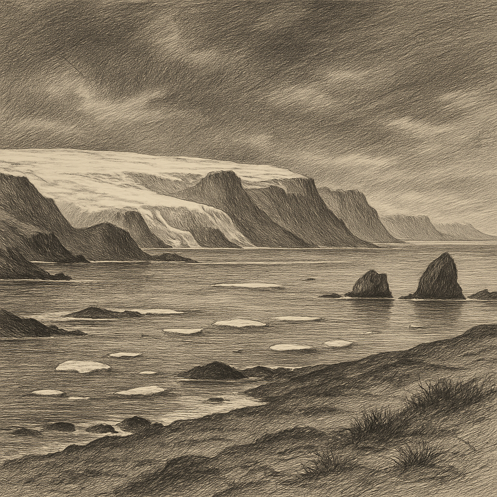
Not every Antarctic island announces itself with scale. Some emerge instead as a compact disturbance in a world of ice and water: a low, dark mass off the west coast of the Antarctic Peninsula, edged by snow, ringed by drifting brash, and made suddenly conspicuous by life. Petermann Island lies in the Wilhelm Archipelago, just south of the Lemaire Channel, a narrow passage long prized by navigators for its beauty and feared for its ice. The island itself is small, rocky, and largely ice-free in parts of summer, which in Antarctica is enough to change everything. Where the surrounding continent often remains sealed under permanent ice, exposed ground becomes a rare opportunity—for seabirds to nest, for mosses and lichens to hold on, for human visitors to step ashore and feel, for a brief hour, that they have reached one of the few accessible margins of a locked world.
Its position gives it an almost theatrical setting. Steep mountains rise across nearby coasts; glaciers descend to the sea; weather arrives fast and leaves little behind except altered light. The island’s topography is not grand in the way of the mainland peaks, yet that is part of its force. It is an interval of stone in a region dominated by frozen scale. Snow petrels and skuas move through the air above it. Gentoo penguins, and historically Adélie penguins as well, have used the ground for breeding. Antarctic shags nest there too, finding in the ledges and exposed rock one of the essential Antarctic resources: somewhere not covered by ice.
A name from the age of polar sounding
The place entered recorded geography during the era when European expeditions were still tracing and naming much of this coast. It was named by the German Antarctic Expedition of 1873–74 under Eduard Dallmann, almost certainly in honor of the German geographer August Petermann, one of the nineteenth century’s important advocates of polar exploration. That origin matters because the island belongs to a period when Antarctica was still being assembled in fragments—channels, islands, capes, and anchorages gradually separated from the blankness of old maps by difficult observation from ships working in fog, ice, and uncertain seas.
Later expeditions passed through these waters repeatedly. The nearby Lemaire Channel became one of the best-known routes on the peninsula’s western side, and the island’s sheltered landing places gave it practical value out of proportion to its size. During the French Antarctic Expedition led by Jean-Baptiste Charcot in the first decade of the twentieth century, this coast was surveyed in far greater detail. In an environment where a few hundred meters of bare shore could mean the difference between landing and not landing, islands like this one became reference points, temporary footholds, and places where observation could be fixed to the ground.
There was never a permanent settlement here. That absence is not incidental; it is the defining fact. Human presence has been seasonal, brief, and instrumental—survey parties, scientists, naval personnel, and, more recently, expedition cruise passengers arriving in the austral summer when sea conditions permit. In the context of Antarctica, “visited” does not mean inhabited. It means approached carefully, watched by weather, and left again.
Where bare rock becomes crowded
The island is best known today for the density of life that gathers on its limited snow-free terrain. Antarctic ecosystems often concentrate rather than spread, and on this small piece of ground the pattern becomes legible at once. Penguin colonies occupy slopes and flats that, to a human eye, may look only marginally usable. Their paths score the snow. Their nesting places stain the rock. The smell carries before the birds come fully into view. In a landscape often described as empty, this is one of the corrective scenes: Antarctica is not barren so much as exacting, and where conditions briefly align, it becomes intensely inhabited.
That concentration has also made the site scientifically useful. Changes in local penguin populations on the western Antarctic Peninsula have drawn close attention because the region is among the fastest-warming parts of the continent. Adélie penguins, strongly associated with colder, ice-linked conditions, have declined in parts of this area, while gentoo penguins have expanded southward in step with changing climate and sea-ice patterns. A small island can therefore become a visible record of much larger transformations. Not symbolic, exactly—simply measurable.
Even the vegetation, sparse by any temperate standard, feels consequential here. Moss beds, lichens, and two native Antarctic flowering plants in the broader peninsula region—Deschampsia antarctica and Colobanthus quitensis—represent a kind of botanical minimalism shaped by cold, wind, and exposure. On and around such islands, life persists close to the ground, literally and ecologically.
The brief shore
What lingers about this place is not mystery in the romantic sense. There is no credible folklore attaching spectral ships or vanished colonies to its name, and none is needed. The island’s atmosphere comes from the exact terms on which it exists. It is reachable, but only under conditions. It is known, but mostly from passing through. It offers a landing, a colony, a survey point, a photographable stillness—and then the weather shifts, the ice repositions, and the ship’s timetable resumes its authority.
Seen from the water, it can look almost provisional, as if the season had uncovered it only temporarily. Yet the rock endures, and so do the cycles that make it matter: melt and freeze, arrival and departure, breeding and dispersal. In a region famous for immensities, this small island leaves its mark by compression. So much Antarctic reality gathers here at close range—navigation, naming, exposure, biology, change—that stepping onto it is less like reaching a destination than crossing into a sharper version of the continent itself.