The island inside an island
Far south of Tokyo, beyond the crowded rail lines and neon weather of the mainland, Aogashima rises from the Philippine Sea like a geological paradox: a village set inside the ruins of a volcano, itself contained within the larger body of another volcano. Seen from the water, the place looks less inhabited than beleaguered. Cliffs rear almost straight out of the ocean. Landings are notoriously difficult. Wind and swell decide everything. Even now, reaching it can feel conditional, as though the island permits arrival only when the sea relents.
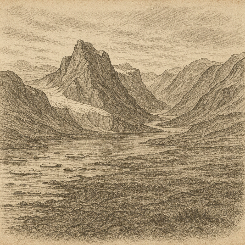
It belongs administratively to Tokyo, yet that fact only sharpens its strangeness. The capital governs a speck of black rock and green slopes nearly 360 kilometers to the south, one of the Izu Islands scattered along a restless volcanic arc. The settlement lies within the great outer caldera, where steep inner walls fold around homes, fields, and roads in a landscape that seems designed less by ordinary erosion than by violent revision. At the center rises a smaller cone, Maruyama, giving the place its famous double structure: an island, a caldera, and then another volcano nested within. Few inhabited places on Earth are arranged with such unnerving elegance.
A furnace remembered
This topography is not picturesque scenery after the fact. It is the record of catastrophe. The island is an active volcanic system, and its history is marked by eruptions severe enough to erase continuity. In the late eighteenth century, after sustained volcanic activity, a major eruption culminated in 1785. The devastation was so complete that the island was left uninhabited. Many residents died during the crisis and its aftermath, and the community that had clung to this difficult piece of sea-battered land was broken.
For years the place stood empty, its terraces and paths surrendered to ash, weather, and silence. Reoccupation did not begin immediately; returning meant more than rebuilding houses. It meant choosing again to live where the ground itself had recently made clear that human tenure was provisional. In the nineteenth century, settlers came back, re-establishing life in the caldera despite the evident danger. That decision remains one of the island’s defining facts. It was not settled because it was easy. It was settled in full view of what it had done before.
Edges of access
Isolation here is not romance but infrastructure. The coast offers few natural advantages. Sheer walls leave little room for a harbor, and rough seas have long made approach hazardous. For much of its history, access depended on weather, seamanship, and patience. Even with modern transport, ferries are vulnerable to cancellation, and arrival by helicopter can seem less a convenience than a negotiated exception to the island’s geography. This difficulty has shaped everything from trade to memory. On many remote islands, the ocean is a road. Here it is also a barricade.
That maritime difficulty helped create the island’s reputation among sailors and officials alike: not mythical in the folkloric sense, but edged with caution. It was known as a place where surf, cliffs, and volcanic temperament combined into a practical menace. The lore attached to it is therefore less a treasury of invented monsters than a durable respect for exposure. Ships passing through these waters entered a zone where there was little margin for error and few easy refuges.
Life above the fire
What makes the island unforgettable is not emptiness but the way human life persists within such a severe frame. Geothermal heat still leaks upward from the ground; in some places steam rises from vents, and this warmth has been put to domestic use, including traditional cooking and sauna-like facilities. Agriculture has adapted to the caldera’s microclimate. The island’s steep, humid environment supports lush vegetation, and its air carries the mixed signatures of salt, soil, and sulfur. Nothing here lets you forget that the surface is thin.
The settlement remains small, and that scale matters. On a map, the island is tiny; on the ground, the enclosing walls make it feel smaller still, as though the horizon has been folded inward. Yet the ocean is never psychologically absent. Stand anywhere near the rim and the sense of exposure returns at once: the vast Pacific, the drop to the water, the knowledge that the nearest metropolis lies impossibly far to the north while this outpost answers to the same government. Few places illustrate so vividly the mismatch between political proximity and physical distance.
The shape of endurance
There are remote islands that seem to have drifted out of time. This one feels more exacting than that. It is not a relic but a wager continuously renewed. The village exists because people returned after disaster and accepted the terms offered by an active volcano in the open sea. Every road cut into the slope, every house inside the caldera, carries that history quietly.
What lingers in the mind is the geometry: walls within walls, a community inside a crater, smoke from the earth beneath a sky often scraped clean by wind. The island does not need embellishment. Its power lies in the plain fact that people live in a place shaped by eruption, defended by cliffs, and separated from the mainland by a long reach of water. At the edge of one of the world’s largest cities’ jurisdiction stands a landscape that still feels prehuman in its proportions. It is a reminder that remoteness is not merely distance. Sometimes it is a form of exposure, a way of living where the planet has not finished making up its mind.