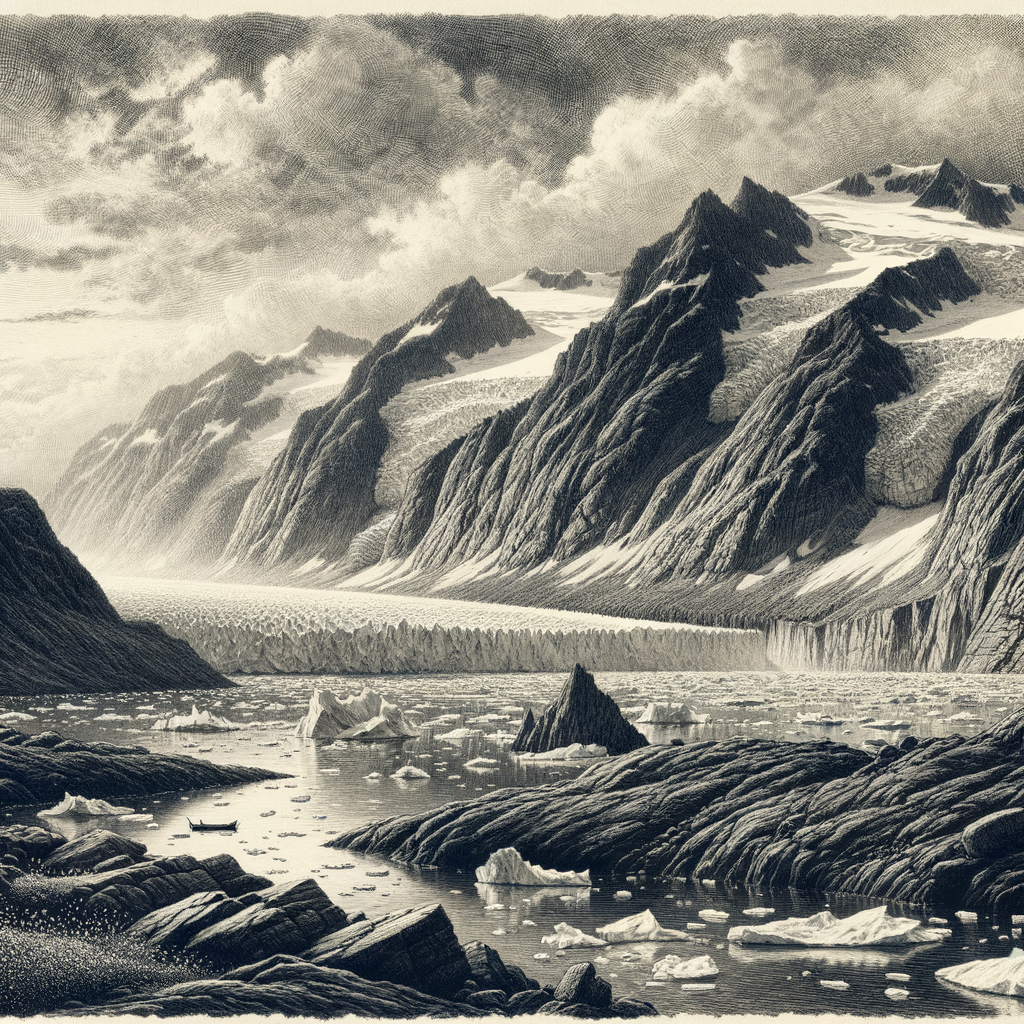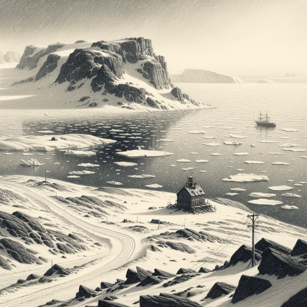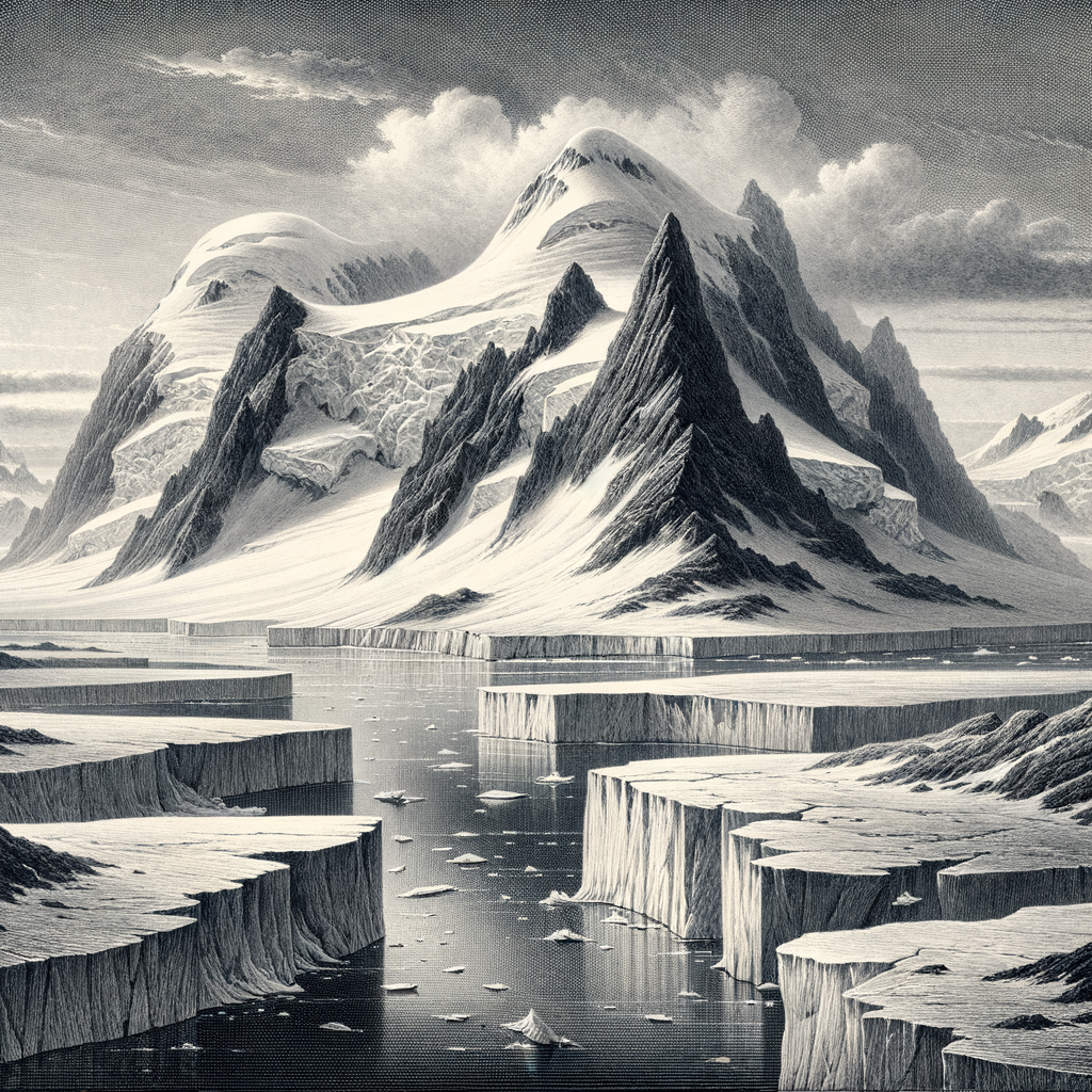
Almost everything about this place resists the ordinary idea of an island. Berkner Island lies in Antarctica, enclosed not by open sea but by the floating mass of the Ronne Ice Shelf in the southern Weddell Sea. It is large by any standard—about 320 kilometers long and roughly 135 kilometers wide—yet for long stretches of its modern history it was not recognized as an island at all. Seen from above, it reads less like a separate scrap of land than like a vast white interruption inside a still larger white expanse: a dome of ice grounded on bedrock, rising quietly from one of the least forgiving regions on Earth.
That confusion was understandable. The surface offers few of the cues by which islands announce themselves. There are no cliffs dropping into surf, no dark volcanic ribs, no harbors, no settlement lights. Instead there are two broad summits, north and south, both formed by an ice cap that buries the underlying land. The highest point reaches around 869 meters. Snow accumulation, wind-scoured ridges, and long gradients of ice define the landscape. At its margins, where the grounded ice of the island meets the floating shelf around it, the boundary is glaciological rather than scenic: a transition of stress, flow, and thickness more than a shoreline in the usual sense.
Recognized by science, not by spectacle
The island is named for the American physicist Lloyd V. Berkner, who served as radio officer on Richard E. Byrd’s first Antarctic expedition in 1928–1930 and later became a major figure in polar research administration. The name took hold after the mid-20th century, when airborne surveys and improved mapping began to clarify what explorers on the surface could not easily perceive. During the era of heroic Antarctic travel, this sector of the continent was a blank of distance and weather. Even after the surrounding coasts had been charted in fragments, the existence of a substantial island embedded in shelf ice remained uncertain.
Its reality emerged through the methods of modern polar science: aerial reconnaissance, seismic work, glaciological measurement, and satellite observation. In Antarctica, revelation often comes that way—not in dramatic landfall but in lines of data that gradually separate one hidden form from another. Berkner Island became important precisely because it sits at an intersection of systems. It is part of the architecture of the Ronne Ice Shelf, influencing ice flow and offering scientists a valuable site for studying accumulation rates, atmospheric history preserved in ice, and the behavior of grounded ice adjacent to a major shelf.
Research camps have appeared here temporarily, then vanished again into the scale of the place. There has never been a permanent population. Human presence is episodic, technical, and brief: aircraft arrivals when conditions allow, instrument deployments, traverses, drilling projects, weather observations. In that sense the island belongs to a distinctive Antarctic category—known in detail by specialists, almost invisible to everyone else.
A white interior with no audience
The fascination of this landscape lies in its near-total refusal of ornament. Temperatures remain severe, katabatic winds can be punishing, and the annual rhythm is governed by the long polar alternation of light and darkness. What appears empty is in fact structured by subtle processes: snow layers laid down year after year, ice moving imperceptibly outward, atmospheric signals trapped in frozen sequence. To drill into that archive is to read volcanic fallout, circulation changes, and traces of climate history written in chemistry and isotopes rather than ink.
Because the island is ice-covered, it does not support the kind of visible terrestrial ecosystem associated with subantarctic islands. There are no tussock meadows, no crowded penguin rookeries defining its identity. Its biological story is largely one of extremity and scarcity, shaped by the conditions of the surrounding shelf and the broader Antarctic environment. That absence contributes to its strange character. Many remote islands feel remote because they are hard to reach; this one feels remote because even after arrival, the expected signs of arrival never quite materialize. There is no beach to step onto, no village to circle, no ruin to inspect. Only surface, sky, instruments, and distance.
What hidden ground can mean
In a warmer ocean, an island usually serves as a point of contact. Here it serves as a point of inference. It tells researchers where bedrock rises beneath the ice shelf, how mass is distributed, how frozen systems are anchored. Its significance is therefore out of proportion to its visibility. Berkner Island is not famous in the way Antarctic landmarks such as Ross Island or Elephant Island are famous. It has generated little folklore and almost no public mythology. That scarcity is part of its power. The island enters the imagination not through stories of shipwreck, survival, or conquest, but through a rarer sensation: the awareness that a landform can exist for ages in practical secrecy, concealed by the very medium that reveals the rest of Antarctica.
On maps of the far south it appears with clean certainty now, outlined and named, a body of land within frozen water. Yet the fact remains slightly uncanny. Beneath that smooth white cap is an island few people will ever see in any ordinary sense, one whose shape had to be deduced before it could be described. In a continent devoted to scale, silence, and delayed recognition, that is a fitting distinction. Some places become memorable by showing themselves. This one became memorable by staying hidden almost to the last.