Introduction to Baker Island
Baker Island is a tiny, uninhabited atoll located in the central Pacific Ocean. As one of the most remote islands on Earth, it lies just north of the equator halfway between Hawaii and Australia. Administered by the United States as an unincorporated unorganized territory, Baker Island is part of the U.S. Minor Outlying Islands and is also designated as a U.S. National Wildlife Refuge. Its isolation and unique history make it a point of interest for explorers, conservationists, and radio amateurs alike.
Geographical Location and Features
Baker Island is situated roughly 2,000 nautical miles (about 3,700 kilometers) southwest of Honolulu. Geographically, it is positioned near 0°11′41″N 176°28′46″W, which places it just north of the equator. The island is small and flat, stretching approximately 1.9 kilometers in length and 1.6 kilometers in width, covering an area of only 1.64 square kilometers.
The island is surrounded by a narrow fringing reef with no natural harbor or anchorages, making marine access challenging. The land is primarily composed of coral and sand, with low vegetation dominated by grasses and small shrubs. There are no freshwater sources on the island, and the harsh equatorial climate brings frequent sunshine, sparse rainfall, and high temperatures.
Historical Background
Baker Island was discovered by Europeans in the 19th century. Its name derives from Captain Michael Baker, an American who sighted the island in 1832. In the mid-1800s, the island was claimed under the U.S. Guano Islands Act for its deposits of guano, a valuable fertilizer made from seabird excrement. For a time, the island was mined extensively under American and, briefly, British control.
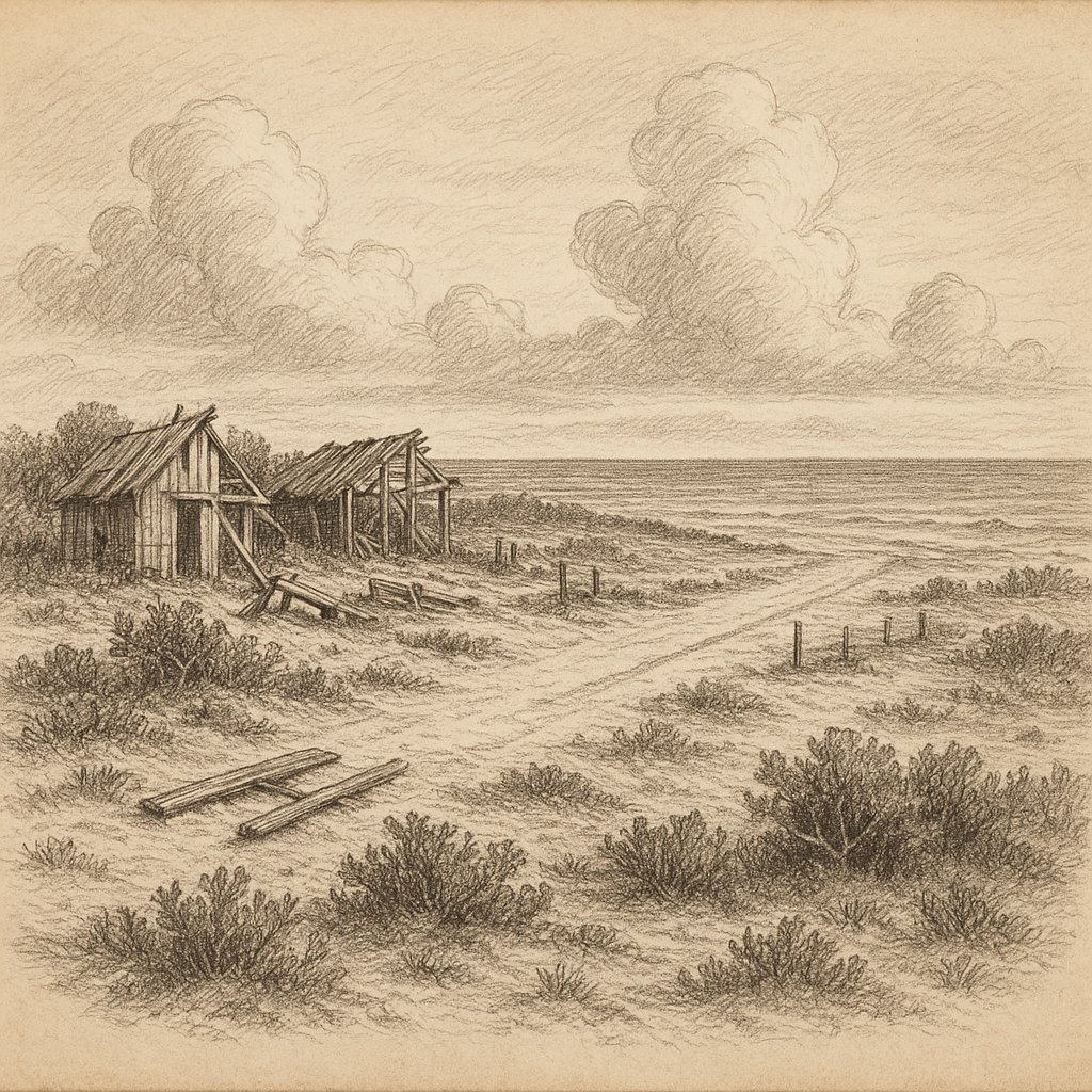
In the 1930s, as part of the American Equatorial Islands Colonization Project, several young Hawaiian colonists were sent to occupy Baker Island to solidify U.S. claims. These settlers built rudimentary infrastructure, including a landing strip and a few wooden buildings. However, the population never exceeded more than a few dozen people and was evacuated in 1942 during World War II as the Pacific became a theater of conflict.
Baker Island was later used by the U.S. military as a refueling point, and remnants of wartime structures still exist on the island today. Since then, it has remained uninhabited.
Wildlife and Ecology
As a National Wildlife Refuge since 1974, Baker Island is protected and managed by the U.S. Fish and Wildlife Service. The island is a refugium for seabirds, shorebirds, and marine life, and is designated as part of the Pacific Remote Islands Marine National Monument, one of the largest marine conservation areas in the world.
Seabirds such as the lesser frigatebird, red-footed booby, and various species of terns use the island as nesting grounds. The beach and reef areas are important nesting sites for green sea turtles. Human activity has been restricted to prevent disruption of these fragile ecosystems, and invasive species have been removed to restore native flora and fauna.
Interesting Facts
Baker Island is one of the few places on Earth that is technically unclaimed by anyone in terms of day-to-day use, yet remains an official part of a sovereign country. Despite being uninhabited and without infrastructure, the island is of interest to amateur radio operators worldwide. Occasionally, with U.S. government permits, specialized radio expeditions known as DX-peditions visit the island for rare radio contacts due to the scarcity of signals from this remote location.
Baker Island is also one of the places closest to the theoretical location of the Equator and the International Date Line, although it falls just east of the date line and is thus among the last places on Earth to experience each calendar day. Its designation as UTC−12:00 means that Baker Island, together with Howland Island, experiences “yesterday” when most of the world sees “today.”
Associated Myths and Legends
Although Baker Island lacks indigenous inhabitants and thus has no native mythology, its isolation and obscurity have led to modern lore and speculation. One of the most enduring legends connected to Baker Island is its speculated link to the disappearance of famed aviator Amelia Earhart. In 1937, during her attempt to circumnavigate the globe, Earhart vanished near Howland Island, which is located just 42 miles north of Baker Island.
Over the years, amateur historians and conspiracy theorists have floated the idea that navigational errors might have led Earhart and her navigator Fred Noonan to crash near or even land on Baker Island. No concrete evidence has ever been found to support this theory, but it remains a minor yet persistent part of the island’s mystique. Additionally, leftover military gear and deteriorating buildings have fueled tales of secret missions or hidden wartime activity, adding to the mystery surrounding this deserted island.
Access and Conservation
Due to its remote location and ecological significance, access to Baker Island is strictly limited. The only way to reach the island is by boat, typically from Honolulu, a journey that can take several days. Landing is difficult due to the lack of a natural harbor, and obtaining a permit requires a compelling scientific or conservation-related purpose.
The U.S. Fish and Wildlife Service oversees efforts to preserve the island’s delicate environment. Periodic monitoring missions assess bird populations, control invasive species, and document changes brought about by climate change and rising sea levels. The surrounding marine waters are part of a no-take zone, meaning fishing and other extractive activities are prohibited to maintain ecological balance.
Conclusion
Baker Island stands among Earth’s most remote and enigmatic landscapes. With its barren beauty, historical significance, and ecological importance, it captures the imagination in ways few other places can. Though inaccessible to most, Baker Island continues to play a vital role in conservation science and remains a subject of intrigue for historians, radio operators, and dreamers of distant shores.