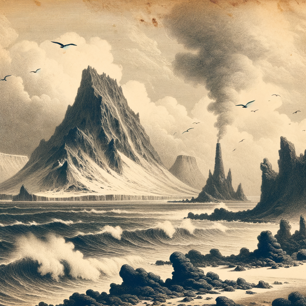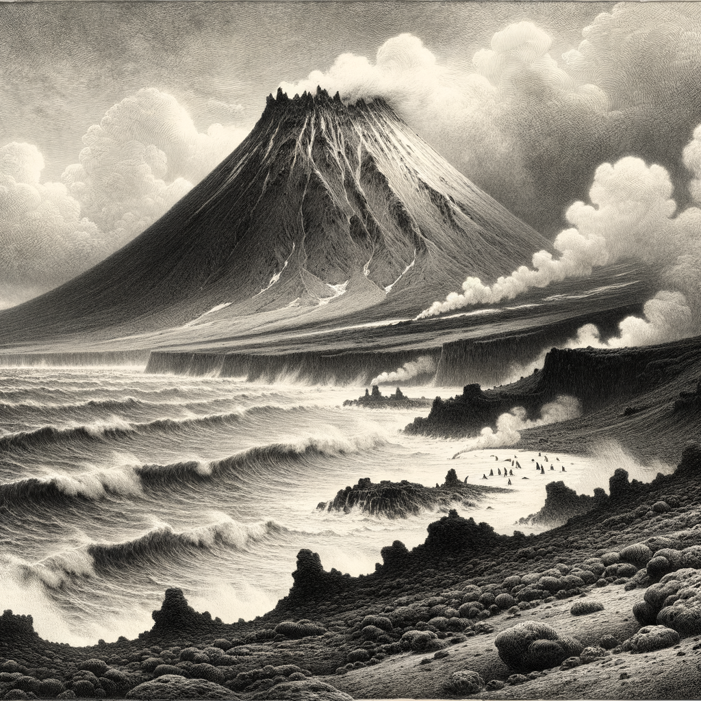
Black volcanic slopes rise from the Southern Ocean with an abruptness that feels almost theatrical, as if a curtain of mist had opened for a moment and revealed a stage still in the act of making itself. Zavodovski Island, the northernmost of the South Sandwich Islands, lies in one of the loneliest stretches of sea on Earth, far south of the Atlantic trade routes and far from any permanent human presence. Small in area but immense in character, it is the exposed summit of an active stratovolcano, Mount Curry, whose cone dominates the island and whose eruptions have repeatedly reminded scientists that this is not a relic landscape but a live one.
The island sits near the cold boundary where Antarctic and subantarctic conditions meet, and everything about it is shaped by that tension. Steep cliffs, ash-dark ground, ice, and the constant assault of wind and swell give it a severe profile. Yet severity is only part of the story. Heat from below and cold from above have created a place of unusual contrasts: snowfields and glaciers on a volcanic island, fumarolic activity in a setting otherwise ruled by freezing seas, bare rock set beside crowded colonies of animals. Seen from a ship, it can appear first as a smudge, then as a wall, then as a mountain suspended over surf.
A crater rim in the storm belt
Geologically, this is one of the most active pieces of British overseas territory. The South Sandwich arc was formed by subduction, and the island is one of its youngest, most dynamic expressions. Mount Curry has erupted in historical time; satellite observations and scientific reports in the twenty-first century have documented activity including ash emissions and thermal anomalies. That volatility matters because the island is not merely remote but unstable, a place where the ground itself can change the terms of approach.
Its coast offers little welcome. Landing is notoriously difficult because of heavy surf, rocky shorelines, and weather that can shut a visit down before it begins. Much of what is known has come from brief scientific landings, shipboard observations, aerial photography, and satellite monitoring rather than prolonged human residence. There has never been a settled community here. Even in an age of global mapping, it retains the quality of a place glimpsed under pressure rather than calmly surveyed.
The island was discovered in 1819 by the Russian expedition of Fabian Gottlieb von Bellingshausen and Mikhail Lazarev, during the same broad era of Antarctic exploration that brought many of the southern ocean margins into European charts. Bellingshausen named features in the South Sandwich group after figures and events from Russian public life; the island’s name preserves that moment of imperial-era discovery, fixed on a shore that no empire could domesticate.
Where heat and feathers meet
If one fact has made this island famous beyond specialist circles, it is the scale of its birdlife. It supports one of the largest known colonies of chinstrap penguins, Pygoscelis antarcticus, with estimates that have reached into the millions of breeding pairs. On a planet where abundance often survives only in fragments, the spectacle here is startling: immense congregations of penguins massed on black ground below an active volcano, a concentration of life so dense that from a distance it can alter the visual texture of the coast.
Other seabirds use the island as well, including macaroni penguins, storm-petrels, and skuas, and the surrounding waters are part of a rich marine system shaped by cold currents and seasonal productivity. The ecological drama is sharpened by the island’s instability. Volcanic activity can damage or temporarily displace breeding habitat; ashfall and lava are not abstractions here but recurring forces. In 2016, an eruption affected parts of the penguin colony, and researchers using satellite imagery tracked major changes in its extent. That combination of biological abundance and geological hazard gives the island unusual scientific value: it is a natural laboratory for watching wildlife endure on moving ground.
There is also a stark visual intelligence to the place. Guano whitens dark slopes. Steam or cloud can blur the cone until the mountain seems to dissolve. Then the wind shifts, and the lines return: cliff, snow patch, scree, surf. Nothing stays softened for long.
Brief landings, long distances
Human stories here are necessarily fragmentary. Sealers and whalers operated widely in the Southern Ocean in the nineteenth and early twentieth centuries, and ships passed through these waters, but the island never became a station, a harbor, or a durable foothold. Modern visits have been mostly scientific, often tied to polar or marine research in the South Atlantic and Antarctic region. The British Antarctic Survey and other scientific bodies have contributed to knowledge of the South Sandwich Islands, though the very difficulty of access means the record remains thinner than for more hospitable subantarctic islands.
That thinness is part of the atmosphere. There is no layered folklore of taverns, no abandoned settlement to walk through, no inherited local tradition because there are no local inhabitants to inherit it. Instead there is the colder kind of reputation that seafarers give dangerous coasts: hard to approach, easy to miss in foul weather, and never mistaken for anything gentle. The island’s fascination comes not from human drama imposed upon it but from the opposite condition—a place where human presence is so slight that volcano, ice, and animal life still set the scale.
What remains in the mind is not a single image but a sequence: a cone in cloud, a shoreline hammered by gray water, and beyond the breakers a multitude of birds carrying on beneath an active mountain. In that sequence, the island feels less like a destination than a rare disclosure, one of those remote facts of the world that seems almost too severe, too animated, and too far away to be real until a chart, a satellite pass, or a ship’s log says otherwise.