Named for grief, set in ice
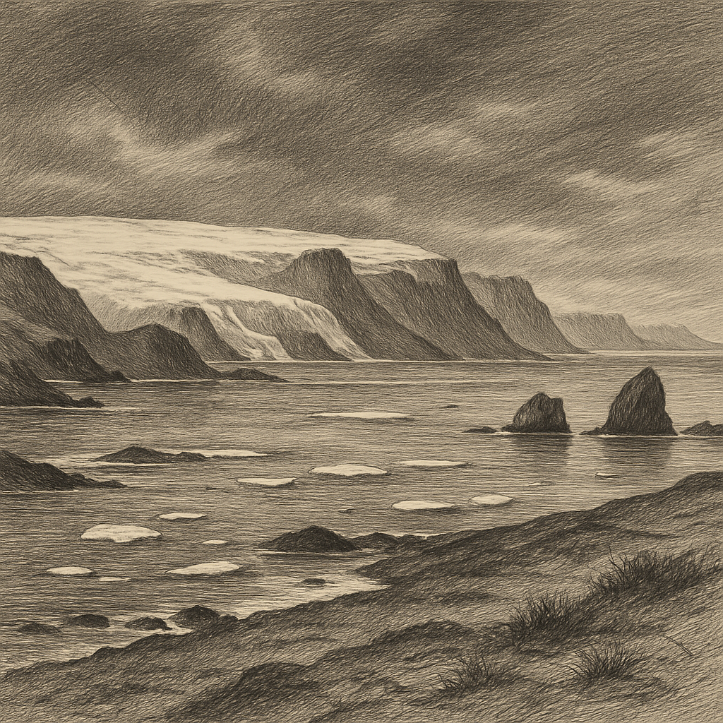
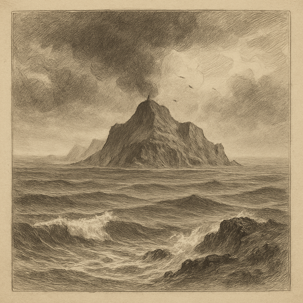
Few places carry so much nineteenth-century emotion into such a hard northern setting. Lady Franklin Island lies off the southeast coast of Baffin Island in Nunavut, Canada, facing the cold waters of Davis Strait and the mouths of Cumberland Sound. It is a small, steep-sided island of dark Arctic rock, its surface shaped by frost, bare slopes, and the seasonal insistence of snow and ice. In photographs and sailing accounts it often appears abrupt rather than expansive: a compact mass rising from steel-colored water, with cliffs and broken ground that seem to belong more to geology than to any human story. And yet its name reaches directly into one of the most haunted episodes in polar history.
The island was named for Jane, Lady Franklin, whose husband Sir John Franklin disappeared with the crews of Erebus and Terror after sailing from Britain in 1845 to search for the Northwest Passage. As search expeditions fanned out across the Arctic in the following years, her name became attached to several places, a reminder of how exploration in that era was never only about charting coasts. It was also about absence, endurance, public obsession, and the conversion of private loss into geography. Here, that emotional inheritance meets a severe landscape with little softness to offer.
No permanent settlement took root on the island. Human presence has been intermittent, practical, and usually brief: ships passing through difficult waters, scientific work in the eastern Canadian Arctic, the occasional landing when weather and sea ice allow. That scarcity of occupation matters. Some islands accumulate buildings, stories, and ruins; this one remains mostly itself, a place whose main history is exposure.
Rock faces above a difficult sea
The surrounding waters help explain its atmosphere. This coast sits in a zone where ice conditions, fog, wind, and strong currents can quickly turn a charted route into an uncertain approach. Icebergs calved from western Greenland drift south through Baffin Bay and Davis Strait, and the sea around the island can hold that larger Arctic drama in miniature: bergs offshore, pack ice in season, and an unnerving scale in which a vessel looks temporary and the land looks ancient.
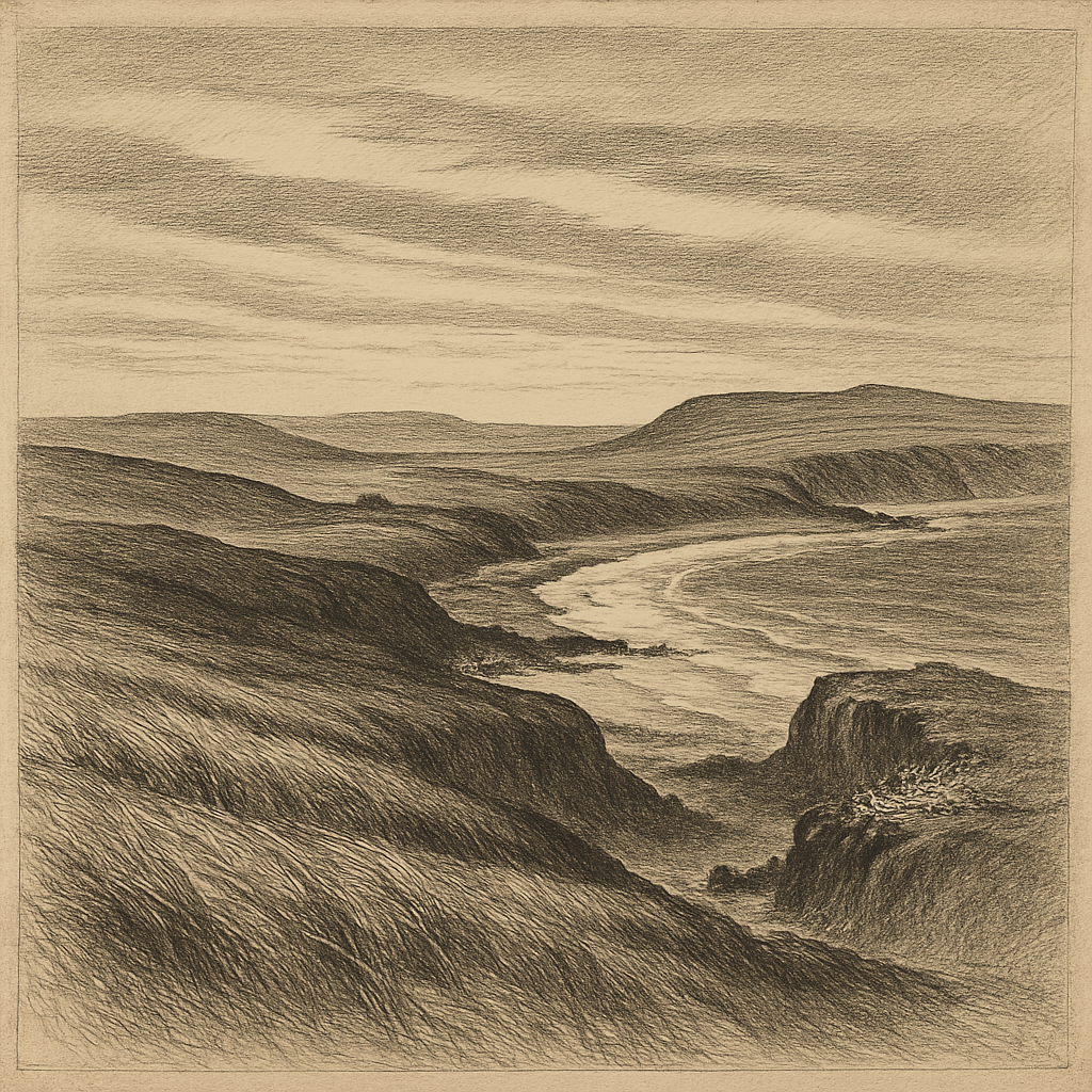
Geologically, the island belongs to the old shield country of the eastern Arctic, a world of resistant rock rather than lush cover. Vegetation is sparse, limited by cold, wind, and shallow soils. In summer, the brief thaw brings the low Arctic’s small persistence—mosses, lichens, and hardy flowering plants in protected pockets—but the dominant impression remains one of exposed stone. The coast is important for seabirds, and the cliffs and ledges of islands in this region provide nesting habitat for species adapted to the short northern season. The larger ecological setting also includes marine mammals typical of the Baffin coast, with seals and whales moving through nearby waters according to season and ice.
Its appeal to modern visitors, when they come at all, is bound up with exactly these conditions. Expedition ships operating in the Canadian Arctic sometimes use the island as a landing site because the relief is dramatic and the outlook broad: Baffin’s mountainous coast nearby, Greenland’s influence across the strait, and a sense of standing inside the machinery of the North Atlantic-Arctic boundary. But accessibility is always conditional. Weather decides. Sea ice decides. The island does not become familiar simply because it has been mapped.
The long afterlife of Franklin’s century
What gives this particular place its charge is not a catalogue of local events so much as the historical weather that surrounds its name. The Franklin disaster transformed the Arctic in the British imagination. Search voyages generated new surveys, new place names, and a huge printed record of speculation and sorrow. Jane Franklin herself became one of the central figures of that era, campaigning tirelessly to send out relief and search expeditions and to preserve her husband’s reputation. To encounter her name on an isolated island near Baffin is to feel how thoroughly the Arctic was inscribed by that campaign.
There is no need to force legend onto the place. Its eeriness is adequately documented by context. These waters were part of the approach routes, supply lines, and search geography of the eastern Arctic in the age when wooden ships pressed northward under sail and steam, and when every cape or island might become a point of hope, delay, or disappointment. The island’s silence today does not conceal a buried settlement or a famous wreck. Instead, it reflects something simpler and, in its way, stranger: a site known chiefly because empire, exploration, and grief once needed names for the margins of their maps.
What remains visible from offshore
Seen from the sea, the island offers no invitation to sentimentalize the Arctic. It is not gentle, and it is not ornament. The color palette tends toward black rock, white ice, iron water, and the muted tones of a summer that never fully warms. Even at the height of the season, light can feel provisional, sliding across cliffs and snow patches without dissolving the sense of cold. The effect is sharpened by the surrounding emptiness. There are few signs by which a visitor from temperate latitudes usually measures place: no roads, no treeline, no inhabited shore close at hand.
That bareness is precisely why the island lingers in memory. It concentrates several Arctic truths in one compact form: how names can outlast the expeditions that coined them, how coastlines can remain austere despite centuries of knowledge, how remoteness is not just distance but a continuing negotiation with ice, weather, and time. On many maps it is only a small mark off Baffin’s edge. In reality it stands where history brushes against elemental ground and then falls quiet.