Big Diomede Island: A Remote Sentinel Between Worlds
Big Diomede Island, also known as Ratmanov Island in Russia, is one of the most secluded and enigmatic landmasses on the planet. Located in the Bering Strait, it sits at the very edge of Russian territory—just a few kilometers away from its American counterpart, Little Diomede Island in Alaska. Despite this close proximity, the two islands represent not only different countries, but also different days, separated by the International Date Line that runs between them.
Geographic Location and Features
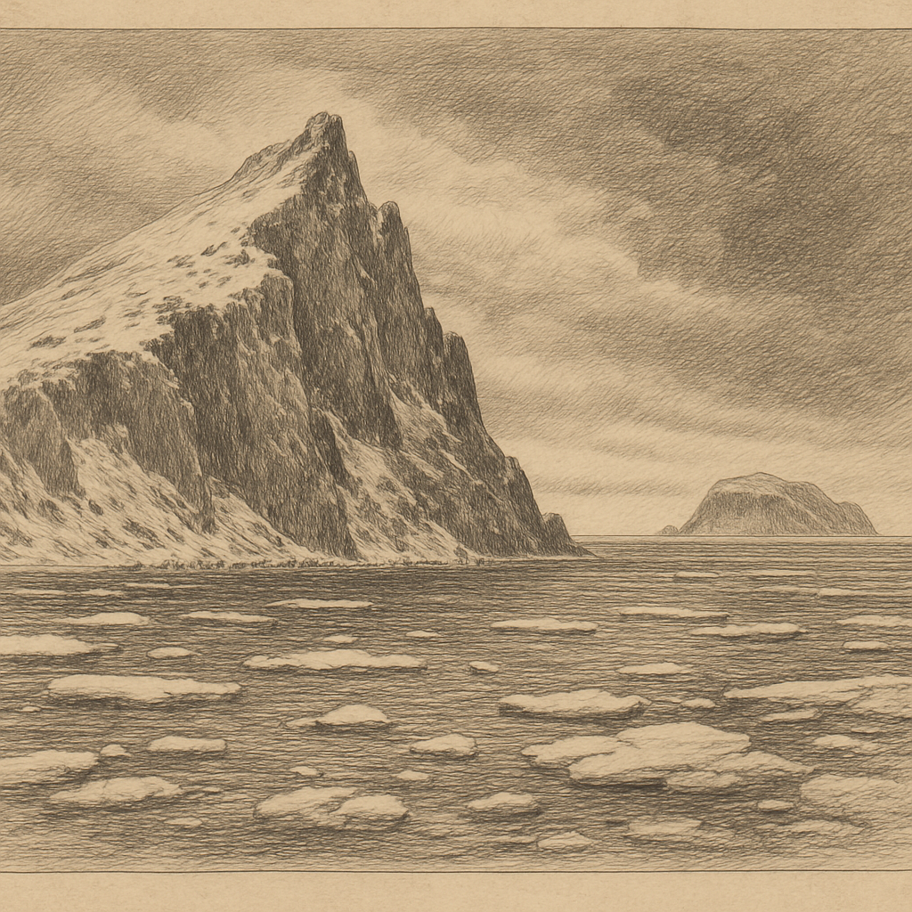
Big Diomede lies in the Bering Strait, approximately midway between mainland Chukotka in Russia and the Seward Peninsula in Alaska, USA. It belongs to the Chukotka Autonomous Okrug in the Russian Far East. The island is around 29 square kilometers in area, with its highest point rising about 505 meters above sea level. It is rugged and rocky, shaped by Arctic winds and frigid seas, and remains covered in snow and ice much of the year.
The International Date Line effectively splits the Diomede Islands, meaning Big Diomede is nearly a full day ahead of Little Diomede—earning the two islands the poetic nicknames “Tomorrow Island” and “Yesterday Island.” The maritime border between Russia and the United States runs roughly 3.8 kilometers between them.
Climate and Natural Habitat
Due to its high-latitude location, Big Diomede is exposed to an Arctic maritime climate. Temperatures remain cold year-round, with long, severe winters and short, cool summers. Average winter temperatures hover around −12°C (10°F), and sea ice often blocks access from late fall to early spring.
The harsh climate hampers biodiversity, but some resilient Arctic species still thrive. Seabirds such as puffins, murres, and kittiwakes nest on the rocky cliffs. Marine mammals like walruses and seals can be spotted in the surrounding waters, along with migratory whales. Unlike Little Diomede which has a small native Inupiat population, Big Diomede is devoid of civilian inhabitants and is mainly used by Russia as a border outpost.
History and Human Activity
Big Diomede has a long history as a strategic location rather than a settled land. While native Yupik people once inhabited both Diomede Islands, Soviet policy during the Cold War changed that. In the early 1950s, the native population was relocated from Big Diomede to the mainland for security reasons. Since then, the island has functioned primarily as a military base and weather station, hosting Russian border guards.
The Diomede Islands took on added geopolitical significance during the Cold War, when they symbolized the razor-thin yet impassable divide between two superpowers. Even today, the 3.8 km gap represents one of the closest physical encounters between Russia and the United States, though access from either side is highly restricted and closely monitored.
Interesting Facts
– The Diomede Islands are the only place on Earth where you can look across the water and see “yesterday” or “tomorrow,” depending on your point of view.
– On a clear day, despite the international boundary and the Date Line between them, it is possible to see people on Little Diomede from Big Diomede.
– During winter, the sea ice sometimes forms a continuous bridge between the islands. Although illegal and dangerous, people have been known to walk the distance, particularly in earlier decades.
– Big Diomede is uninhabited by civilians and houses only a Russian military base and border post.
– Because the islands lie so close to the meridian change, Big Diomede can be 21 to 23 hours ahead of Little Diomede—a time difference of nearly a full day.
Legends and Folklore
Though much of Big Diomede’s recent history is tied to military operations and geopolitics, the island has long been part of indigenous lore. According to native Yupik and Inupiat legends, the Diomede Islands were created by two brother spirits who engaged in a colossal argument, leading to the formation of the islands as markers of their separation. The brothers lived on each island, forever able to see one another but unable to reconcile.
Another story speaks of how the waters between the islands are haunted by spirits of ancient travelers who tried crossing during the winter when the sea froze over. Some made it, but others vanished into icy chasms—leading to the belief that the sea ice holds the voices of those lost between days.
Some elders tell tales of watching lights flicker across the strait on long Arctic nights—thought to be signals passed between soul-keepers of the islands or echoes of ancestral fires once kept alight on both sides of the strait.
Access and Preservation
Today, access to Big Diomede is highly restricted. As a strategic Russian military site, permits are rarely granted, and tourism is virtually non-existent. The island remains untouched by modern development, and its ecosystem is relatively undisturbed, aside from the minimal infrastructure required for military and meteorological observation.
Scientific expeditions sometimes gain access to study Arctic marine life and climate patterns, but all activity is tightly regulated by the Russian government. Unlike Little Diomede, which has a small native village and school, Big Diomede is off-limits to casual visitors.
Conclusion
Big Diomede Island stands as a stark and fascinating monument to both natural isolation and geopolitical significance. Despite its minute size on the world map, it serves as a poignant symbol of division and connection between two great nations. The interplay of natural forces, cultural legacies, and political boundaries has shaped Big Diomede into one of the planet’s most unique and mysterious islands—a place where time bends, legends whisper on the wind, and the modern world feels continents away.