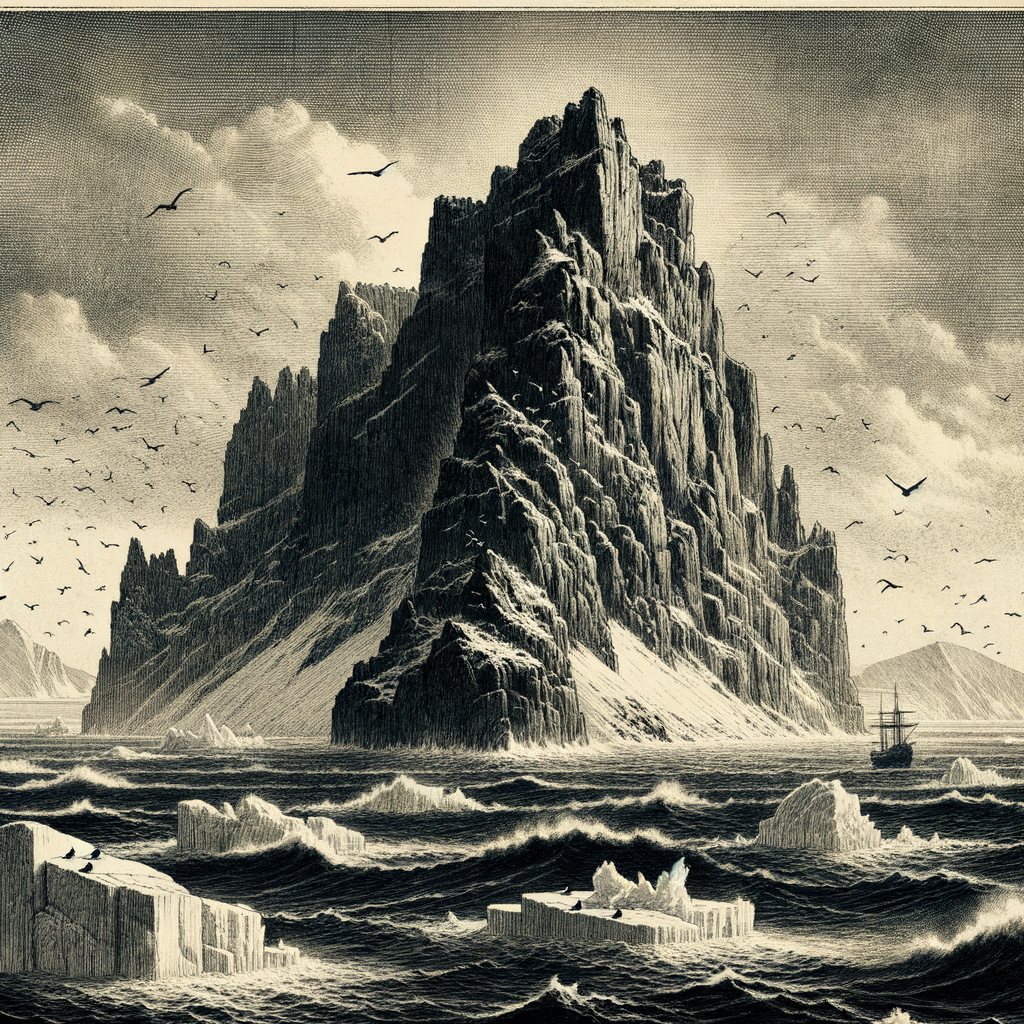
Bikar Island is an uninhabited atoll located in the northern part of the Marshall Islands in the Pacific Ocean. Despite its small size and isolation, this low-lying coral island holds ecological and historical significance that makes it an intriguing subject of study. Bikar is part of the Ratak Chain, one of two parallel chains of atolls and islands that compose the Republic of the Marshall Islands.
Geographic Location and Physical Features
Bikar Island is situated approximately 850 kilometers (530 miles) north of the capital atoll Majuro. It is geographically remote, surrounded by expansive ocean waters and far from regular shipping or air travel routes. The atoll consists of a small circular reef platform enclosing a shallow lagoon and several narrow sand and coral islands.
Bikar itself is the main islet within this atoll, which spans approximately 6 square kilometers in total area including the lagoon. Unlike high volcanic islands, Bikar is a typical coral atoll—only a few meters above sea level and lacking in freshwater sources.
The island’s dry and sparse landscape is composed mainly of scrub vegetation and low-lying brush, with no permanent freshwater streams or springs.
Ecological Importance
Despite its arid and stark appearance, Bikar Island’s isolation has made it a sanctuary for various seabird species and marine life. It has been designated a wildlife reserve by the Republic of the Marshall Islands government, primarily because of its significance as a breeding ground for birds such as the brown noddy, white tern, masked booby, and the black-naped tern.
The surrounding coral reefs are part of an untouched marine ecosystem, home to vibrant coral species and numerous fish, as well as occasional sightings of sharks and sea turtles. The uninhabited nature of the island minimizes human interference, allowing fragile ecological balances to persist largely undisturbed.
Historical Background
Historical human interaction with Bikar Island has been minimal due to its remote location and lack of fresh water. However, archaeological evidence suggests that Micronesian voyagers may have occasionally visited the island in ancient times for fishing or navigation purposes.
During the mid-20th century, Bikar fell under the Trust Territory of the Pacific Islands, administered by the United States following World War II. In the 1950s, the island received attention due to radioactive fallout from U.S. nuclear tests conducted at Bikini Atoll.
Though located more than 400 kilometers away, Bikar was one of several atolls subjected to trace contaminations, leading to forfeited plans to use it as a potential satellite community or relocation site for Bikini inhabitants.
Interesting Facts About Bikar Island
Bikar Island holds the distinction of being one of the least altered atolls in the Marshall Islands archipelago. Unlike many neighboring islands that host small villages or airstrips, Bikar has escaped development almost entirely. This gives ecologists a rare glimpse into a pre-contact, minimally disturbed island ecosystem.
In 1962, Bikar was briefly visited by the renowned oceanographer Jacques Cousteau during one of his Pacific expeditions. He noted its pristine coral reefs and concluded that Bikar was a living museum of coral reef ecology.
The atoll is also ecologically significant due to its role as a nesting site for the endangered green sea turtle (Chelonia mydas). Although turtle populations in the area have declined due to illegal poaching elsewhere in the Pacific, Bikar remains a safe haven due to its legal protections and inaccessibility.
Legends and Local Lore
Though uninhabited, Bikar Island is not devoid of traditional significance. According to oral traditions from the nearby inhabited atolls of the Ratak Chain, Bikar is considered an island of spirits. Elders speak of a time when ancestral spirits would guide lost canoes to Bikar’s lagoon under the glow of the full moon, offering shelter and orientation to seafarers.
One of the most well-known legends involves a celestial canoe said to have crash-landed on Bikar after soaring between the islands with fire in its wake. Some local interpretations regard this as a mythologized precursor of modern technology or even the visual memory of a meteoric event.
Due to such associations, many traditional Marshallese regard Bikar with both reverence and caution. It is often referred to as an “island of whispers,” a place where nature “speaks” for itself through wind, waves, and bird cries.
Current Status and Conservation
Today, Bikar Island remains uninhabited and is managed under the jurisdiction of the Marshall Islands Environmental Protection Authority. Visits to the island require special permits and are typically limited to scientific research teams and conservation personnel.
The island’s protected status faces challenges in a changing climate, particularly with rising sea levels that threaten to inundate the low-lying land. Conservationists are actively monitoring Bikar’s flora and fauna, as it serves as a bellwether site for the health of coral atoll ecosystems in the Pacific.
Preservation efforts have also included occasional clean-up missions to remove plastic debris washed up from distant sources—a growing concern even for places as remote as Bikar.
Bikar Island stands as a quiet sentinel in the vast expanse of the Pacific Ocean, an uninhabited coral atoll holding stories of nature, history, and myth. Though humble in size and often overlooked on maps, the island represents a rare confluence of unspoiled ecology, cultural mystique, and scientific interest. As climate change and environmental pressures continue to impact the Pacific Islands, Bikar remains a crucial reference point for understanding resilience and the importance of untouched natural habitats.