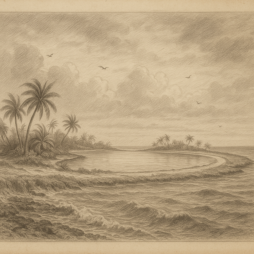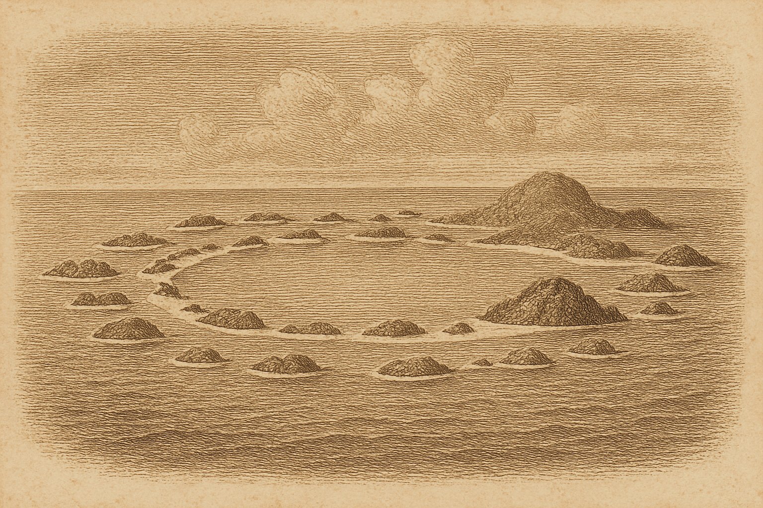
Across the Pacific Ocean, a ring of islands offers the prospect of land continuing beyond the first visible shore. At Bikini Atoll (Pikinni), the view opens inward to an immense lagoon, enclosed by scattered islands and an oval reef. Water occupies far more of the atoll than land does, and light on its surface leaves much beneath it unseen. For someone drawn to distant shores, the gaps between islands invite attention as readily as the land itself. The eye follows the reef, loses it in water, and finds another stretch of shore. Even an imagined approach takes time to encompass the place.
Bikini belongs to the Marshall Islands and lies approximately 305 kilometers east of Enewetak Atoll. Its combined land area is just over 5.5 square kilometers, though published measurements differ. That disproportion between narrow land and extensive water gives the atoll much of its hold on the imagination. So does the knowledge that these shores were a homeland: the apparent remoteness of the place says little about its closeness to the people who belong to it.
The water inside the reef
Seen from the reef toward the lagoon, Bikini cannot be taken in as a single island. Land comes in separate pieces. Water lies between them, and an imagined approach remains incomplete if it stops at the nearest shore. Beyond the outer ocean is an enclosed expanse whose boundaries extend through islands and reef. There is a familiar attraction here for anyone who has lingered over a navigator’s chart: an outline clear enough to follow, with an interior still awaiting closer attention. At Bikini, that closer attention must extend below the surface, beyond what the shape of the atoll alone can reveal.
The Castle Bravo crater is 2 kilometers across and 80 meters deep. Its dimensions describe a physical alteration beneath the water, where a nuclear explosion changed the lagoon’s seabed. The surface offers no sufficient explanation of what lies below it; the appearance of water cannot establish the condition of the ground beneath. To contemplate the crater is to give the lagoon depth as well as breadth, and to recognize how much an island view can conceal. Reef, shore, and open water remain visible parts of Bikini, while the hollow beneath them requires a different kind of attention from an approaching observer.
The shore people left
In 1946, Commodore Ben H. Wyatt asked the Bikini community to leave temporarily for American atomic-bomb testing. The United States Navy moved 167 residents to Rongerik Atoll. The request specified a temporary absence. That qualification belongs beside the removal, because it distinguishes what was proposed from the displacement that followed. Bikini’s surrounding water was now also the water separating a community from its homeland. No imagined farewell is needed to make that separation concrete: people were taken from these islands to another atoll, while the reef and lagoon they had left became the setting for the American testing program.
The displaced community later moved through Kwajalein to Kili Island. A presidential announcement eventually permitted resettlement at Bikini, and residents again occupied their homeland. Then came another evacuation in 1978, following findings of excessive radiation exposure. The resettlement did not last. Here the difficulty of remaining on an island exceeded the difficulty of reaching it: arrival and residence could not, by themselves, establish safety. For a reader accustomed to admiring distant landfalls, this history requires a pause at the shore. The people of Bikini needed more than passage across the ocean; they needed a homeland in which they could continue to live.
Coral beside the Bravo crater
Beneath the lagoon surface, coral communities give Bikini a detail that the outline of its islands cannot supply. In the northern lagoon, a coral colony had a tree-like form; near the Bravo crater, a community consisted of a single coral species. Other communities dominated some lagoonal reefs. These are particular forms in particular parts of the water, each worth attending to without treating it as a picture of the whole atoll. A branching colony draws attention close to its living structure. The surrounding lagoon, however, contains different communities, and the presence of coral alone cannot describe the changes that have occurred there.
The coral survey found a diverse assemblage, while comparison with the pre-testing community revealed apparent genuine local species losses. Many were lagoon specialists. That distinction prevents a view of living reef from becoming an account of complete recovery. Coral can remain conspicuous in the water while species once present are absent, and those absences have no shape for an observer to follow. The surviving colonies deserve close attention on their own terms, without being asked to resolve the history of the lagoon. Their forms show what is present; comparison with the earlier assemblage establishes something that the eye, looking only at Bikini today, cannot see.
A lagoon without its community
Bikini remains largely uninhabited, with infrastructure maintained by a small caretaker workforce. The shore is not wholly empty. Its present human presence, however, differs from the community now living in the Marshall Islands and farther abroad. For a reader following remote islands across a map, names such as Taongi Island and Bikar Island may invite the next turn of attention. At Bikini, the work of maintaining infrastructure gives a concrete reason to linger over the present. There are people caring for what is there, alongside the much larger community whose relationship to the atoll continues beyond its shores.
From the Pacific side, the islands still extend beyond the first visible land, with the lagoon opening between them. The longing to follow that outline need not disappear with knowledge of the place. It can become a more patient attention, willing to hold the distant shore in view without mistaking distance for emptiness. Bikini has a name within its own community as well as on a chart: Pikinni. The imagined approach ends close to the water, where a stretch of reef becomes visible and then disappears beneath the surface again.
Quick facts
- Location: 11°36′N 165°24′E, in the Ralik chain of the northern Marshall Islands, Pacific Ocean; approximately 305 km east of Enewetak Atoll.
- Area: Combined land area just over 5.5 km² in the Lawrence Livermore National Laboratory description; published land-area figures differ.
- Status: Part of the Marshall Islands.
- Population: Largely uninhabited; a small caretaker workforce maintains infrastructure.
- Wildlife: A 2002 survey recorded 183 scleractinian coral species; subsequent analysis identified 28 apparent genuine local species losses relative to the pre-testing assemblage.
Sources
- Lawrence Livermore National Laboratory, Marshall Islands Program: Bikini Atoll
- NASA Earth Observatory (2014): Revisiting Bikini Atoll
- Marine Pollution Bulletin (2008): Bikini Atoll coral biodiversity resilience five decades after nuclear testing
- BikiniAtoll.com, Jack Niedenthal: A Short History of the People of Bikini Atoll
- BikiniAtoll.com (2016): Bikini Atoll Reference Facts
- Wikidata: Bikini Atoll (Q152225)