Bouvet Island, an uninhabited and ice-covered volcanic island in the South Atlantic Ocean, is one of the most isolated landmasses on Earth. As a dependency of Norway, it remains an important site for scientific observation and environmental monitoring. The island’s extreme remoteness, harsh climate, and rugged terrain make it nearly inaccessible, preserving its untouched ecosystem and unique wildlife.
History of the Island
Bouvet Island was first discovered in 1739 by French explorer Jean-Baptiste Charles Bouvet de Lozier. However, due to thick fog and treacherous waters, he was unable to land and incorrectly mapped the island’s location. It was not until 1825 that the British whaler George Norris made the first recorded landing, claiming it for the United Kingdom and naming it Liverpool Island. Despite this, the British did not maintain their claim, and in 1927, Norway annexed Bouvet Island. The Norwegian government officially declared sovereignty over the island in 1930, recognizing it as an important territorial possession. Since then, the island has remained uninhabited except for scientific research missions.
Current Settlement and Usage
Bouvet Island has no permanent human presence due to its extreme isolation and inhospitable conditions. Norway operates an automatic weather station on the island to collect meteorological data, and occasional expeditions visit for scientific purposes. In 1977, Norway briefly established a small research station, but it was soon abandoned due to the severe conditions. Today, researchers and conservationists occasionally visit to monitor climate patterns, wildlife, and glacial activity. Access is extremely limited, requiring special permits from the Norwegian authorities.
Geography of the Island
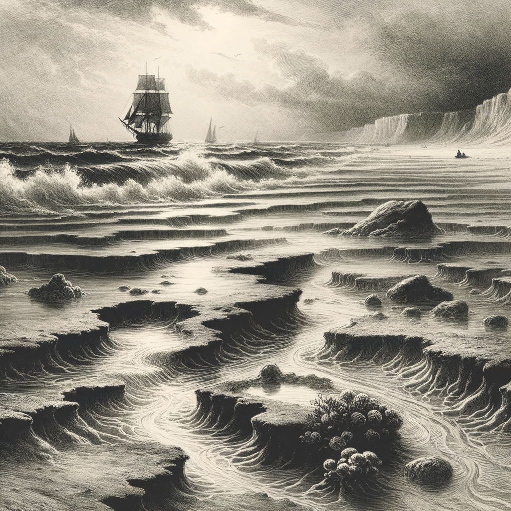
Bouvet Island is located approximately 1,600 km (1,000 miles) north of Antarctica and 2,500 km (1,550 miles) from the nearest inhabited land, making it the most remote island on Earth. It covers an area of about 49 square kilometers (19 square miles), with over 93% of its surface covered by glaciers. The island’s highest point, Olavtoppen, rises to 780 meters (2,560 feet) above sea level. Due to its volcanic origin, the landscape consists of steep cliffs, rugged terrain, and an ice-capped plateau. The harsh climate, characterized by freezing temperatures, strong winds, and frequent storms, makes the island an extreme environment for any form of life.
Flora and Fauna
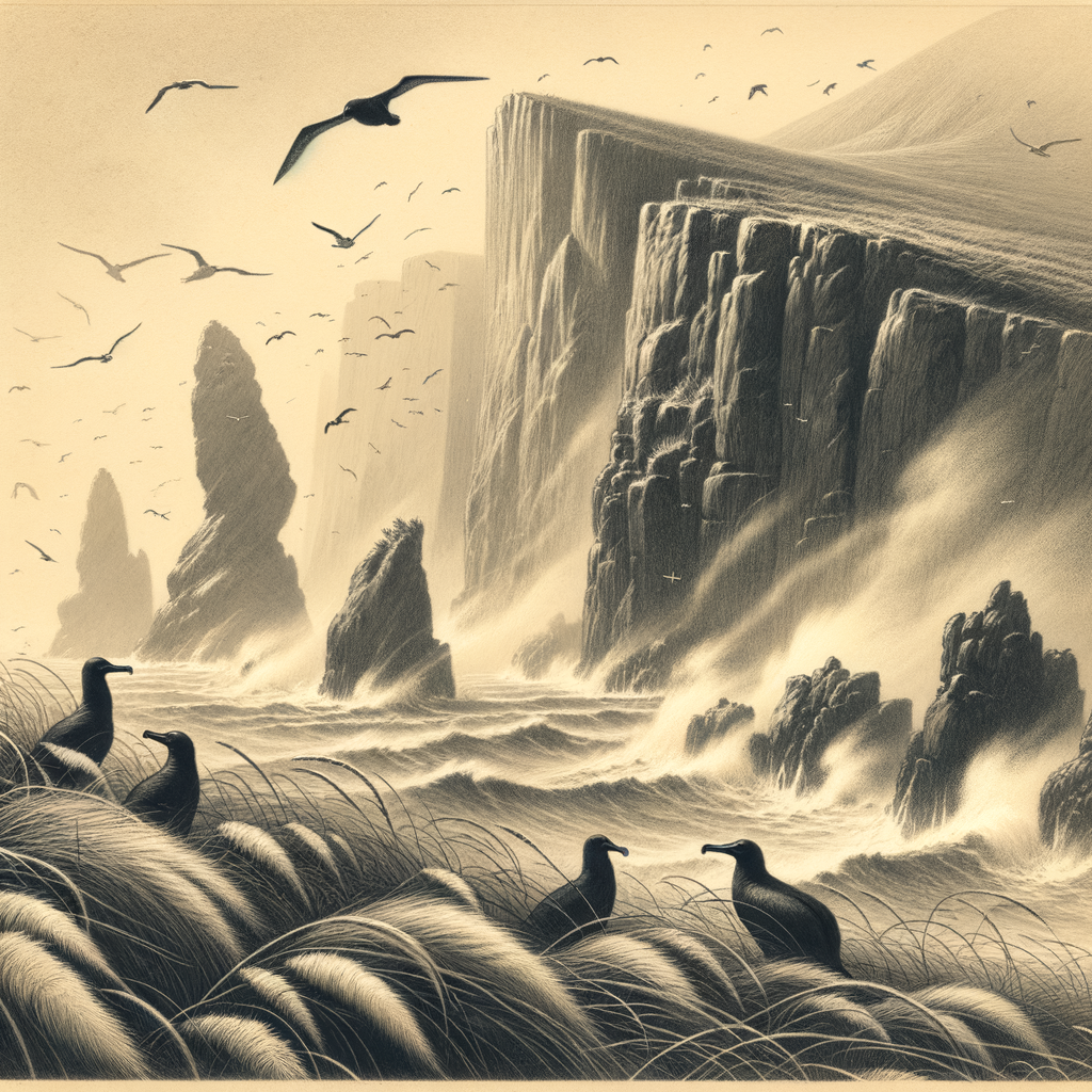
The harsh climate and ice-covered terrain limit the presence of plant life on Bouvet Island. Only a few species of mosses and lichens manage to survive on rocky outcrops. However, the surrounding waters support a rich marine ecosystem. Large populations of seals, including southern elephant seals and fur seals, inhabit the island’s shores. Penguins, such as macaroni and chinstrap penguins, nest on the island, while various seabirds, including petrels, skuas, and albatrosses, rely on the surrounding ocean for food. The marine environment remains largely undisturbed due to the island’s extreme isolation, providing a crucial habitat for many species.
Bouvet Island remains a mysterious and nearly inaccessible place, serving as an important scientific research site and a sanctuary for wildlife in the remote South Atlantic Ocean.