-

North Sentinel Island: arrows over the uplifted reef
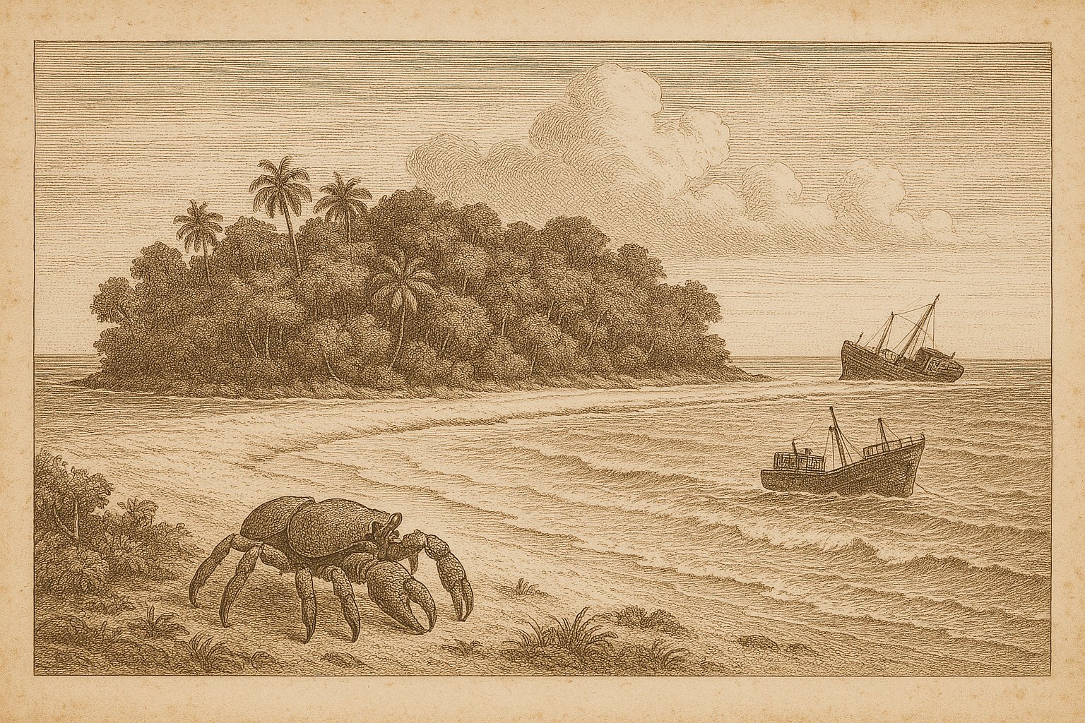
A scatter of shore fires, glimpsed across heaving water, was once the only sign: a rim of light pricking the darkness as a ship held off. That is how an East India Company vessel first marked North Sentinel Island in 1771, in the Bay of Bengal, a low green shape held behind a pale line…
-
Tromelin Island: fifteen years on the Isle of Sand
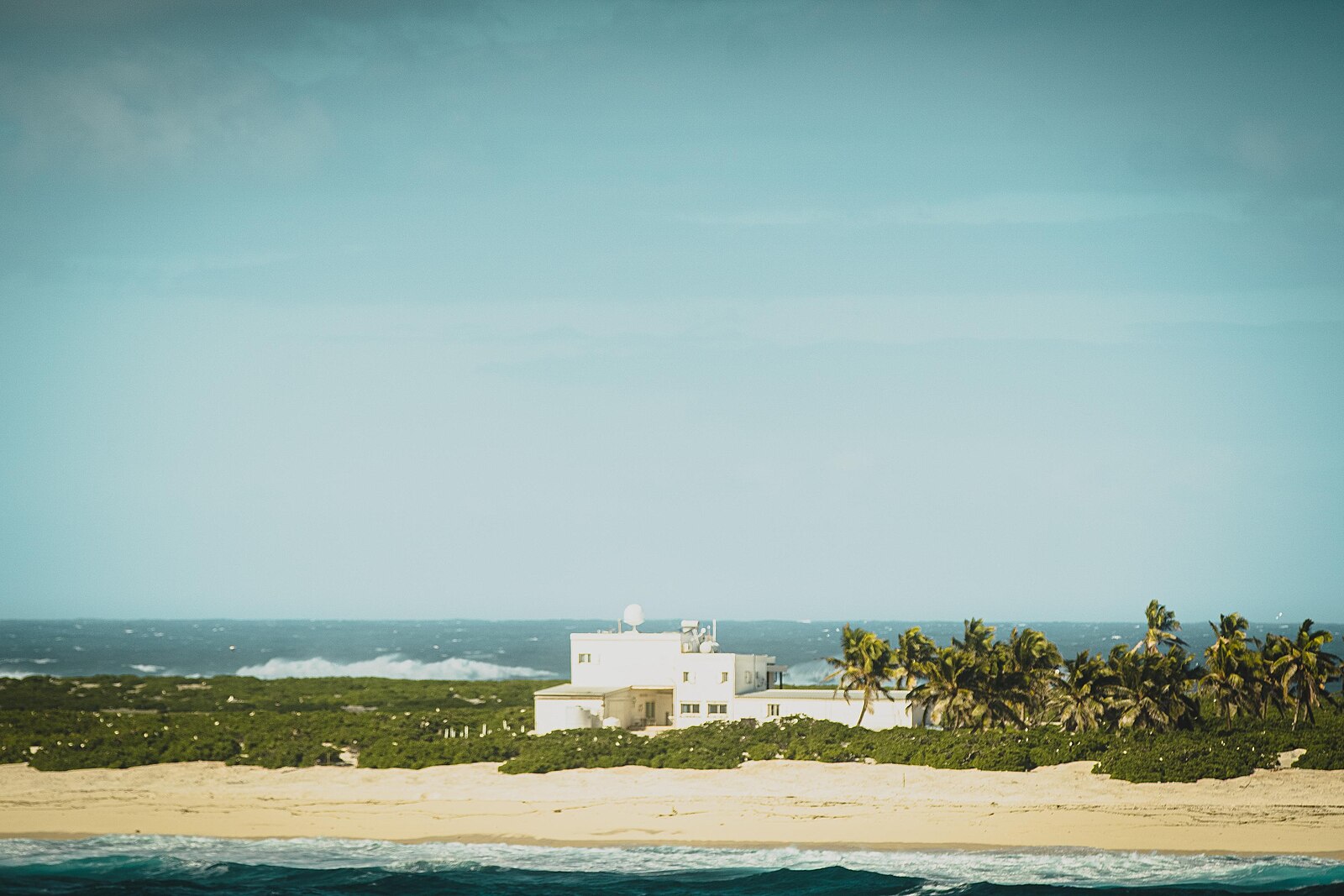
From the sea, Tromelin Island shows almost nothing of itself: a pale strip of sand and low scrub, barely seven meters above the surf, with water some 4,000 meters deep on every side. Île Tromelin, as France calls it, lies alone in the western Indian Ocean, about 560 kilometers north of Réunion and roughly 450…
-
Wind-scarred bunkers, thawing tundra and seabirds remap October Revolution Island
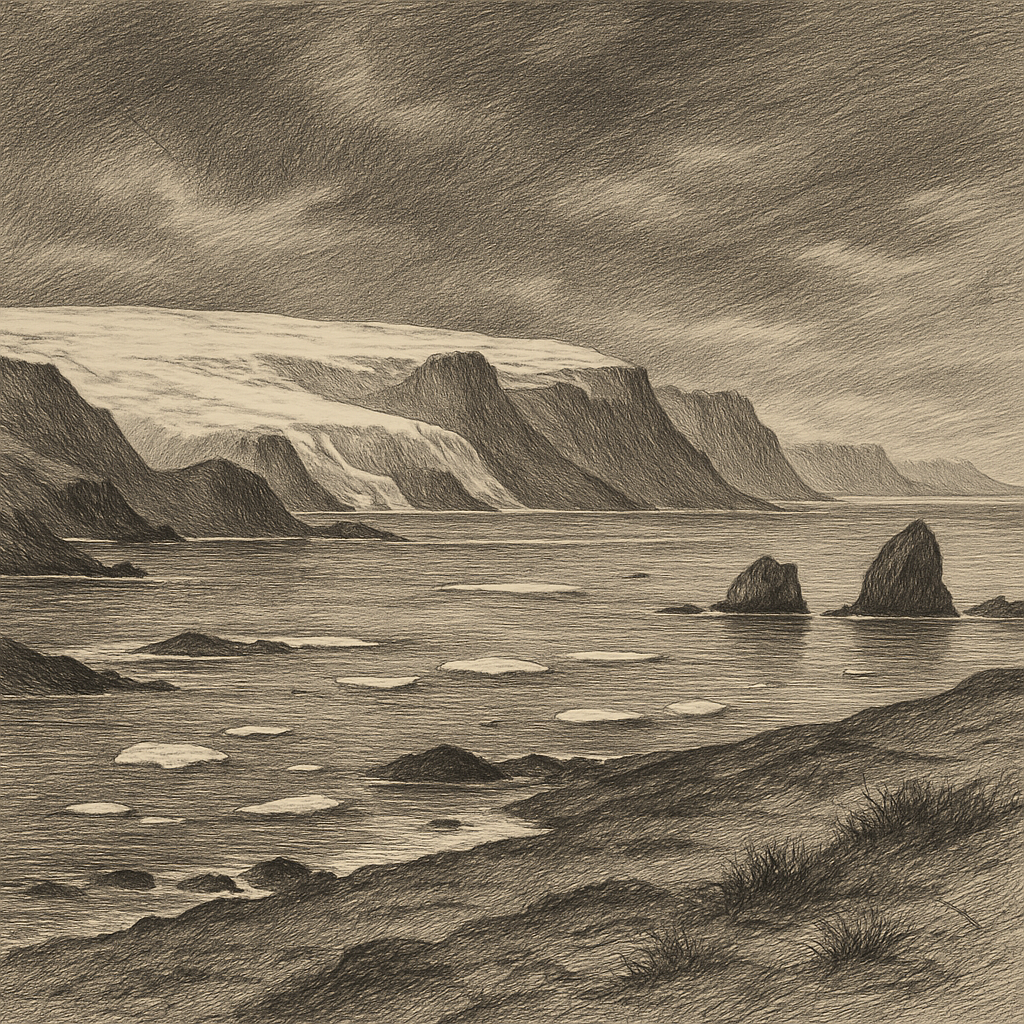
Measured not by cities or roads but by ice caps and drifting pack, October Revolution Island belongs to a scale of geography that unsettles ordinary ideas of land. It lies in the Russian High Arctic, the largest island of the Severnaya Zemlya archipelago, between the Kara Sea and the Laptev Sea, far north of Siberia.…