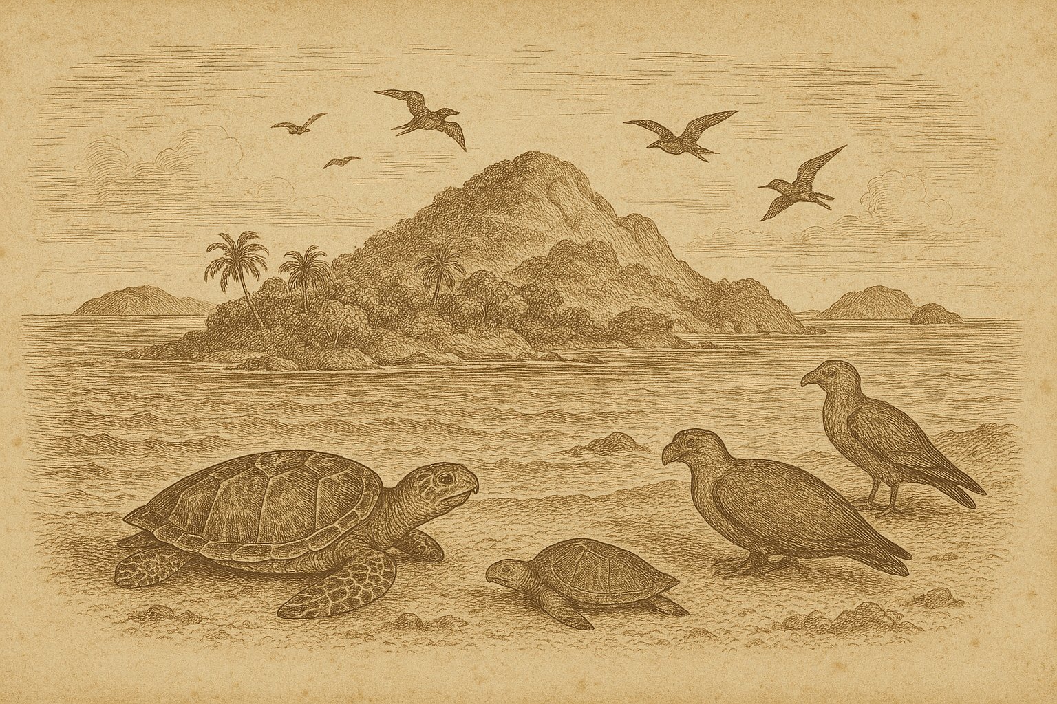
Beyond a long reach of central tropical Indian Ocean water, separate islands come into view rather than a continuous coast. The Chagos Archipelago (Chagos Islands) invites the imagination to linger over that approach: water giving way to land, with more water between the shores ahead. For an admirer of old voyages, the attraction begins there, in the prospect of a place beyond familiar routes. Rain belongs to this prospect as much as tropical light, and breeding seabirds as much as the open sea. So do the people of the islands. A view from offshore can suggest their surroundings, though it reveals little of the lives lived on land.
The United Kingdom administers the archipelago as the British Indian Ocean Territory, while Mauritius claims sovereignty. About 500 km south of the Maldives, its land covers approximately 60 km². Those modest dimensions offer little preparation for the hold the islands exert. For anyone drawn to distant coasts, Chagos brings a difficult combination: the attraction of an ocean horizon and the knowledge that the same shore can mean remoteness to a stranger and home to someone else.
Islands across the open water
An approach begins with the scale of the water. Fifty-eight islands make up the territory, yet their combined land occupies only a small part of this ocean setting. The islands are scattered. A mind accustomed to continental coasts must adjust to separate pieces of land and to the stretches of sea between them. No single shore offers a view of the whole archipelago. That limitation is part of its pull for someone drawn to exploration: reaching land does not exhaust the geography. The sea still extends beyond the immediate coast, and the name Chagos still embraces other islands, with other shores to consider.
Diego Garcia, the largest and most southerly island, contains more than half the territory’s land area. Its prominence can easily narrow the imagined view of Chagos until the rest of the archipelago recedes. The smaller islands matter, too. Their shores belong to the same tropical ocean, exposed to its rain and surrounded by the water that separates them. An approach understood only through the largest island leaves much outside the frame. Even the simple act of picturing Chagos requires a shift of attention, away from a single destination and toward an archipelago whose land is divided among many separate places.
The plantation and the departure
French copra plantations using enslaved labor were established in 1793. That fact belongs close to any imagined scene of tropical island life, before warmth and distance soften the view. The plantations depended on coerced work. The sea surrounding them offered no exemption from colonial power, however remote the islands might appear on a map. The territorial administration later acquired the plantation company’s land and commercial interests. Those transactions concerned land where people lived and worked, rather than merely a distant possession. An account centered on navigators would leave those people at the edge of the scene, although their labor was central to the islands’ history.
The copra plantation on Diego Garcia closed in 1971, the same year an immigration ordinance formalized the removal of the existing civilian population and effectively prohibited its return. Departure was enforced. Between fourteen hundred and seventeen hundred people were removed from the islands. The facts establish the scale of the removal without supplying the words spoken or the details of individual farewells. Those cannot honestly be filled in. For a person who loves far places, this is a different experience of distance: separation from the surroundings of ordinary life, with the way back prohibited, rather than the prospect of an unfamiliar coast ahead.
Rain over birds and coral
Rain belongs in the picture as firmly as the surrounding sea. Annual rainfall is about 2,400 mm, a useful correction to any fixed image of tropical brightness. There is close work here, too. An expedition investigated the islands’ lichens, examining life easily missed in a distant view from the water. The change of scale matters: an archipelago approached across open ocean can also require attention to something small on land. The lichen flora gives that attention a concrete subject. Beside the broad view of sea and separate shores is another way of encountering Chagos, through patient examination of what grows there.
At the Diego Garcia Ramsar site, hawksbill turtles (Eretmochelys imbricata) and green turtles (Chelonia mydas) occur alongside the endemic coral Ctenella chagius. Across the territory, seabirds breed in internationally important numbers. Life extends above and below the water. The birds make the land significant as breeding ground; the coral gives the surrounding marine world a particular connection to Chagos. These details deserve attention in their own right, without asking wildlife to soften the account of the islands’ human history. A careful view can remain with the turtles and coral for a while, recognizing that the ocean contains more than an expanse to be crossed.
The shore beyond the boundary
The territory is administered from London, while its Important Bird Areas are also designated Strict Nature Reserves. Boundaries have changed before. Aldabra Island, Desroches, and Farquhar once belonged to the same territory before being ceded to Seychelles. Such administrative geography is difficult to picture from the shore, where land remains beside ocean regardless of the jurisdiction marked on a map. Yet the reserve designations apply to actual breeding places, and territorial boundaries determine which administration is responsible for them. The present view includes both scales: islands seen across the water and specific areas of land protected for the life they support.
Beyond the long reach of Indian Ocean water, the separate shores remain worth imagining carefully. The longing that accompanies old accounts of voyages can survive a closer view, with less supplied by fantasy and more held in attention. Chagos offers ample reason to look: rain over the islands, seabirds breeding on land, turtles in the waters of Diego Garcia. The distant prospect need not become a complete picture to exert its pull. Some of its interest lies in the change of scale, from an archipelago across the ocean to lichens examined on an island.
Quick facts
- Location: Central tropical Indian Ocean; representative coordinates 6°17′0″S 72°5′0″E; approximately 500 km south of the Maldives.
- Area: Approximately 60 km² of land, using the UK Foreign, Commonwealth & Development Office figure.
- Status: Administered by the United Kingdom as the British Indian Ocean Territory; sovereignty claimed by Mauritius.
- Wildlife: Hawksbill turtles, green turtles, and endemic coral at the Diego Garcia Ramsar site; 18 seabird species breed in internationally important numbers across the territory.
- Protection: Ten Important Bird Areas, also designated Strict Nature Reserves, cover approximately 15% of the archipelago’s land area; Ramsar provisions were extended to a large part of Diego Garcia in 2001.
Sources
- British Indian Ocean Territory Administration (2026): British Indian Ocean Territory
- British Indian Ocean Territory Administration: History
- UK Foreign, Commonwealth & Development Office: British Indian Ocean Territory
- British Indian Ocean Territory Administration: Terrestrial Protected Areas
- Copernicus Publications / Climate of the Past (2021): El Niño–Southern Oscillation and internal sea surface temperature variability in the tropical Indian Ocean since 1675
- Tropical Bryology (2000): The lichen flora of the Chagos Archipelago, including a comparison with other island and coastal tropical floras
- Chagossian Voices: The Chagos Archipelago
- Wikidata: Chagos Archipelago (Q192188)


