There are islands that feel discovered, absorbed into routes and narratives, and then there are islands that still seem to stand outside ordinary time, known mostly through ice reports, expedition logs, and military records. Graham Bell Island belongs to the second kind. It lies at the northeastern edge of Franz Josef Land in the Russian High Arctic, separated from familiar geography by cold seas, drifting ice, and long intervals of weather that can erase horizon, distance, and direction all at once.
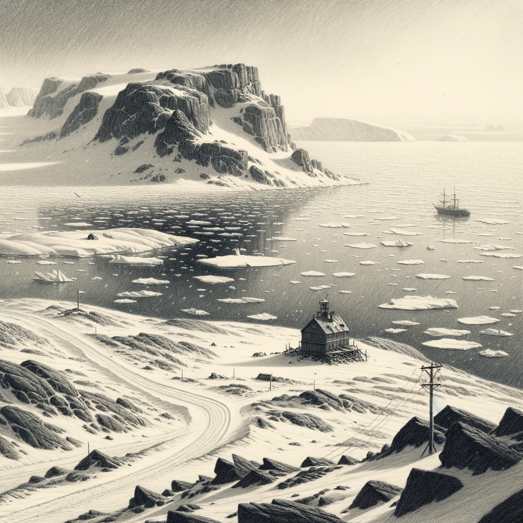
It is one of the archipelago’s easternmost large islands, positioned between the Barents and Kara seas in a realm where the map gives certainty but the climate withdraws it. Much of its surface is low and glaciated, with broad ice caps and severe coastal margins interrupted by headlands, bays, and stretches of raised Arctic ground where snow, rock, and sparse tundra share the same narrow season. The island is substantial rather than picturesque, more mass than silhouette. Even in photographs it has a withdrawn quality: pale slopes, ice-bound inlets, and a light that seems less to illuminate than to expose.
A name from invention, a place of ice
The name reaches back to the age when polar exploration and technological optimism often traveled together. The island was named by the Wellman Polar Expedition of 1898–1899 after Alexander Graham Bell, an emblematic figure of invention in that era. The gesture now feels almost surreal. Bell, associated with communication, gave his name to a place defined for most of human history by inaccessibility and silence. Yet that contrast suits the island. Its story has always involved distance: the effort to cross it, measure it, supply it, and remain there for even a short time.
Franz Josef Land had first entered European geographical knowledge through the Austro-Hungarian North Pole Expedition of 1872–1874 led by Julius Payer and Karl Weyprecht, but the eastern islands remained among the least easily approached. Pack ice made access uncertain; weather made it dangerous; darkness made it seasonal in the most absolute sense. Here, geography is not merely a background condition but the main actor. Temperatures remain severe for most of the year, and the island falls within a polar desert environment where biological productivity is low and every sign of life appears hard won.
Even so, life persists. As on other islands of the archipelago, the surrounding seas and coasts support high-Arctic fauna, including polar bears, walruses, and seabirds, while the waters may hold seals and cetaceans adapted to ice-heavy conditions. On land, vegetation is sparse and specialized: mosses, lichens, and a limited suite of cold-tolerant flowering plants occupy exposed ground when summer briefly loosens winter’s grip. Nothing here suggests abundance. Survival is the more revealing fact.
The runway at the far margin
If the island carries a particular historical charge, it comes from the Soviet period. During the Cold War, this remote Arctic outpost acquired strategic value, and an airfield was established there. In a setting that seems almost designed to repel infrastructure, a runway created a point of connection with the wider state: fuel, personnel, weather observations, logistics, and defense all became possible at a latitude where nature usually dictates the terms. The contrast between purpose-built machinery and the surrounding emptiness was extreme. Aircraft could arrive, but they arrived in one of the loneliest operational landscapes on Earth.
The military and polar use of the island did not make it settled in any ordinary sense. It remained a stationing ground, not a community; a place of assignment rather than belonging. After the collapse of the Soviet Union, many such Arctic installations declined or were abandoned, and the island’s human presence thinned again. What remains in accounts and images is the peculiar aftermath common to remote northern bases: structures overtaken by weather, traces of planned permanence exposed as temporary after all, and a lingering sense that the built world had ventured too far into elemental territory.
That does not mean the island vanished from relevance. Franz Josef Land is now part of the Russian Arctic National Park, and the eastern reaches of the archipelago continue to matter scientifically and geopolitically. Glaciology, climate observation, sea-ice change, and Arctic navigation have all made places like this newly legible to the twenty-first century. The island is no longer obscure in the old exploratory sense; it is obscure in a modern one, visible in data and satellite imagery while remaining almost unreachable in human terms.
Where the weather writes the scale
What makes the place memorable is not one dramatic landmark or a famous disaster attached to its shores. It is the total atmosphere of remoteness, the way every fact about it seems sharpened by exposure. The low tundra and ice domes, the military residue, the severe coastlines, the recurring presence of sea ice: together they create a landscape that resists simplification. It is neither untouched nor truly occupied, neither blank nor fully storied. Human intentions have reached it, named it, used it, and withdrawn.
Seen in that light, the island’s fascination lies in proportion. A runway, a weather station, an expedition name, a few biological footholds, a great spread of ice and rock under a regime of cold that has outlasted all plans made for it. In more temperate places, history accumulates by layering. Here it survives in intervals. Between them, the wind resumes its work, snow closes the ground, and the sea hardens at the margins. The island remains what it has long been: a remote Arctic fact, stern and quiet, waiting beyond the last easy route.