Introduction to Fangataufa Island
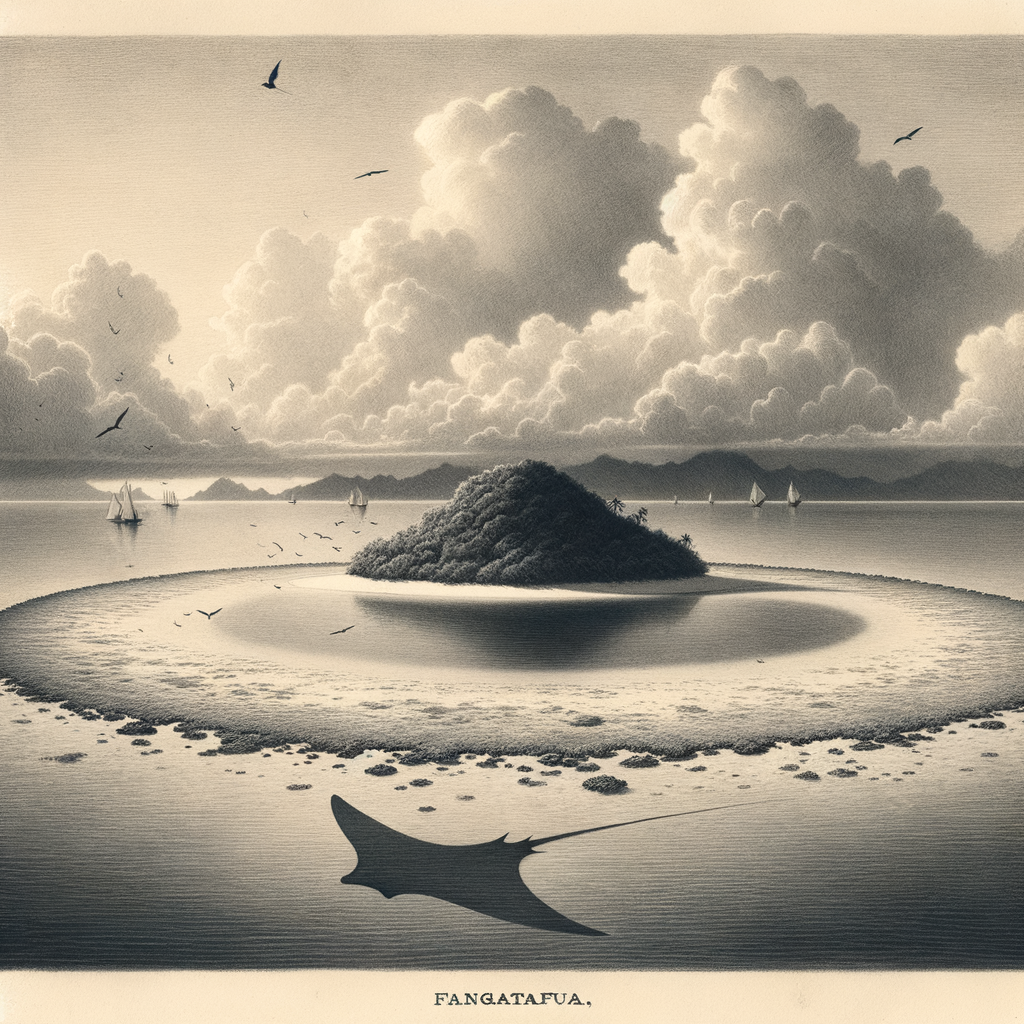
Fangataufa Island is one of the most remote and intriguing atolls in the South Pacific. Part of the Tuamotu Archipelago in French Polynesia, Fangataufa lies nestled in the vast embrace of the Pacific Ocean, far from any major population centers. This isolated island has a rich, if controversial, history and a natural environment largely untouched by human development, making it a site of unique ecological, historical, and cultural interest.
Geographical Location and Geology
Located approximately 1,200 kilometers southeast of Tahiti, Fangataufa is a small uninhabited atoll covering an area of about 45 km². Like most atolls in the region, it is of volcanic origin, bounded by a fringing coral reef and encasing a shallow lagoon. Its ring-like shape is characteristic of atolls formed from sunken volcanic islands, with corals growing progressively over submerged calderas. Over millions of years, the central volcanic structure sank, leaving behind a natural marine enclosure teeming with coral and fish life.
Climate and Natural Environment
Fangataufa experiences a tropical maritime climate, with high humidity, stable temperatures, and abundant rainfall. These conditions create a lush habitat for native flora and fauna, including coconut palms, pandanus trees, and various seabird species. The inner lagoon supports a variety of marine organisms, such as reef fish, mollusks, and crustaceans. Due to its isolation, the ecosystem of Fangataufa is relatively pristine and serves as a valuable sample of native Tuamotuan biodiversity.
Historical Significance and Nuclear Testing
Fangataufa is perhaps most widely known for its role in nuclear testing. In 1964, the French government selected it, along with nearby Mururoa Atoll, as a nuclear weapons test site. From 1966 to 1970, Fangataufa was the site of atmospheric nuclear tests, including the first French hydrogen bomb test in 1968, known as “Canopus.” Later, from 1975 to 1996, underground nuclear tests were conducted. These operations were conducted in a hush of secrecy, and only decades later did information about the tests become public.
In 2006, the atoll was officially returned to the administration of French Polynesia, although it remains a restricted military zone due to environmental contamination and the potential dangers of residual radioactivity. Despite this, the legacy of nuclear testing has made Fangataufa a subject of ongoing scientific and political attention.
Ecological Restoration and Conservation Efforts
In recent years, there has been a growing interest in environmental rehabilitation. While human activity has been limited since the cessation of nuclear testing, the introduction of invasive species during the military presence affected the natural balance of the island. Conservation groups and local authorities have proposed—and in some cases, begun—efforts to remove invasive flora and fauna, monitor radioactive residue, and protect endemic species. Because of its restricted access and limited outside influence, Fangataufa has the potential to become a model site for ecological restoration.
Interesting Facts About Fangataufa Island
– Fangataufa was once secret enough that most world maps failed to mention it until after the nuclear tests became international news.
– The island has never hosted a permanent civilian population, making it one of the least disturbed inhabited atolls in terms of permanent infrastructure.
– Some of the largest artificial craters in the Pacific region are located underwater just off the coast of Fangataufa due to the force of nuclear detonations.
– Despite the hazards, Fangataufa remains home to several bird species such as the white tern and the brown noddy, resilient creatures who returned after testing ceased.
– The atoll is sometimes used as a reference point in scientific studies on radiation’s impact on marine environments due to its unique history.
Local Legends and Cultural Significance
Although uninhabited for much of its known history, Fangataufa is not without its share of Polynesian lore. Local oral traditions describe the atoll as being guarded by spirits of the sea, believed to protect sacred fishing grounds and coral gardens within its lagoon. According to one old legend, Fangataufa was once home to a giant ray that terrorized nearby seafarers. Chiefs from neighboring islands are said to have exiled the spirit of the ray to the depths of the lagoon, where some believe it still resides, appearing in the form of unusually large shadows in the water before storms.
The atoll also figures in navigational myths, serving as a “marker of no return” for wayfarers traveling too far east from the safety of their home islands. These legends, passed down through the generations, continue to imbue Fangataufa with a distant spiritual presence despite limited human interaction. They reflect a deep-rooted Polynesian respect for the ocean and the natural forces that govern life in remote island settings.
Access and Legal Status
Today, Fangataufa Island is off-limits to the general public. The French Ministry of Defense classifies it as a closed military zone, and visiting the island requires special governmental permissions, often only granted to government officials, scientists, or environmental study groups. Continuous monitoring for radioactivity is carried out, and strict protocols are in place to ensure that no residual waste disturbs the fragile marine and terrestrial ecosystems.
Conclusion
Fangataufa Island stands as an enigmatic monument to the tensions between technological progress and environmental stewardship. Its isolation, combined with its wartime history and natural beauty, offers a compelling glimpse into the complex history of the Pacific Islands. Whether viewed as a site of ecological renewal, a lesson from the era of the Cold War, or a source of enduring local myths, Fangataufa remains one of the South Pacific’s most fascinating and least understood places.