Filfla – The Mysterious Islet South of Malta
Filfla is a small, uninhabited islet situated approximately 5 kilometers south of Malta in the Mediterranean Sea. Despite its diminutive size—covering an area of only 0.06 km²—Filfla holds a significant place in Malta’s geography, ecology, and mythology. The islet is the southernmost part of the Maltese archipelago and is steeped in both natural and cultural intrigue.
Geographic and Geological Context
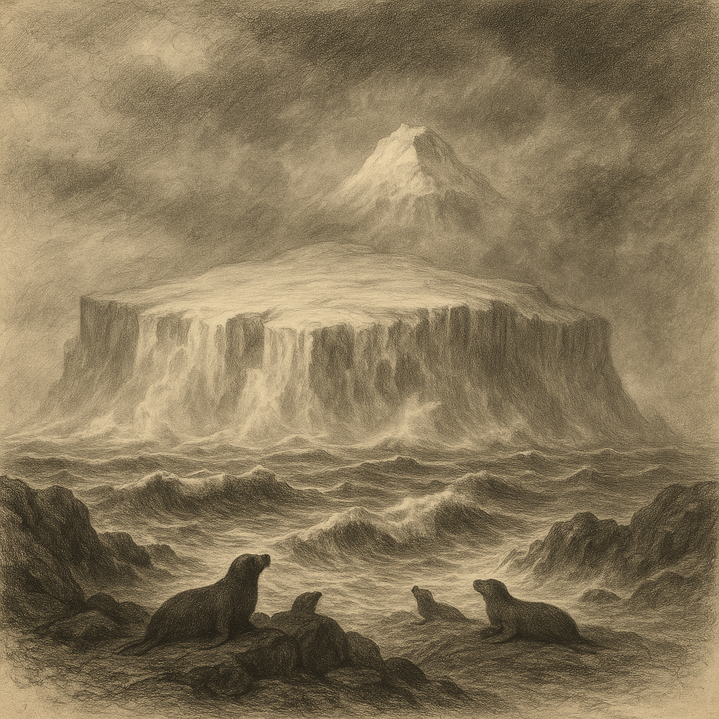
Filfla lies within the Central Mediterranean Basin and is geologically composed of Lower Coralline Limestone. The islet is more accurately described as a flat-topped, table-like rock formation rising dramatically from the surrounding sea. It is part of the Maltese archipelago but separated enough to foster a unique topographical identity.
The islet forms part of the Filfla Nature Reserve, which also encompasses the surrounding rocky islet of Filfoletta and the nearby underwater reef system. Due to its isolation and the difficulty of accessing it, Filfla has avoided the significant human alterations that more accessible islands often experience. However, it has not been immune to disruption—most notably, it was used by the British Royal Navy for target practice until 1971, a history that has left ecological scars still evident today.
Ecological Significance
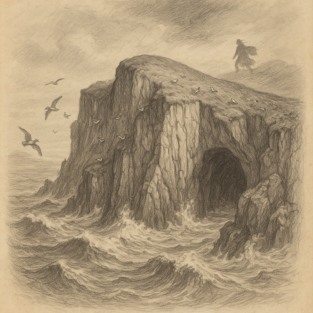
Filfla is off-limits to the general public, a restriction intended to protect its fragile ecosystem. Entry is only permitted for scientific research or with express governmental authorization. As such, the islet has become a sanctuary for seabirds, notably the European Storm-Petrel (Hydrobates pelagicus), for which Filfla hosts the largest breeding colony in the Mediterranean.
In addition to avian visitors, Filfla supports unique flora and fauna despite its barren appearance. The Filfla Wall Lizard (Podarcis filfolensis ssp. filfolensis) is endemic to the islet and represents one of the few species that can survive the harsh and dry environment. Vegetation includes a variety of salt-tolerant shrubs and grasses, specially adapted to the small amount of soil and the saline conditions. The surrounding waters form part of a marine protected area rich in marine biodiversity, including fish, sponges, and underwater caves, making it a hotspot for scientific marine studies.
Accessibility and Conservation Efforts
Due to its status as a nature reserve, visits to Filfla are highly regulated. No landing is permitted except for authorized scientific researchers, ensuring the preservation of its delicate habitat. Ongoing conservation efforts focus on monitoring bird populations, preserving endemic species like the Filfla Lizard, and studying the long-term ecological impact of historical military activity.
Since the declaration of Filfla as a bird sanctuary in 1980, Malta’s environmental agencies have worked closely with European conservation organizations to protect the islet’s ecosystems. The island is classified as a Special Protection Area (SPA) under the European Union’s Birds Directive, a recognition of its vital role in regional biodiversity.
Interesting Facts About Filfla
Filfla may be small, but it is full of fascinating details that enrich its mystique:
– The islet’s flat top and sheer cliffs make it appear almost artificial when viewed from a distance.
– During British rule, it was estimated that around 10,000 pounds of explosives were tested on and around the islet.
– Filfla appears on the oldest known map of Malta—the Map of the Great Siege (1565)—underlining its long-standing significance.
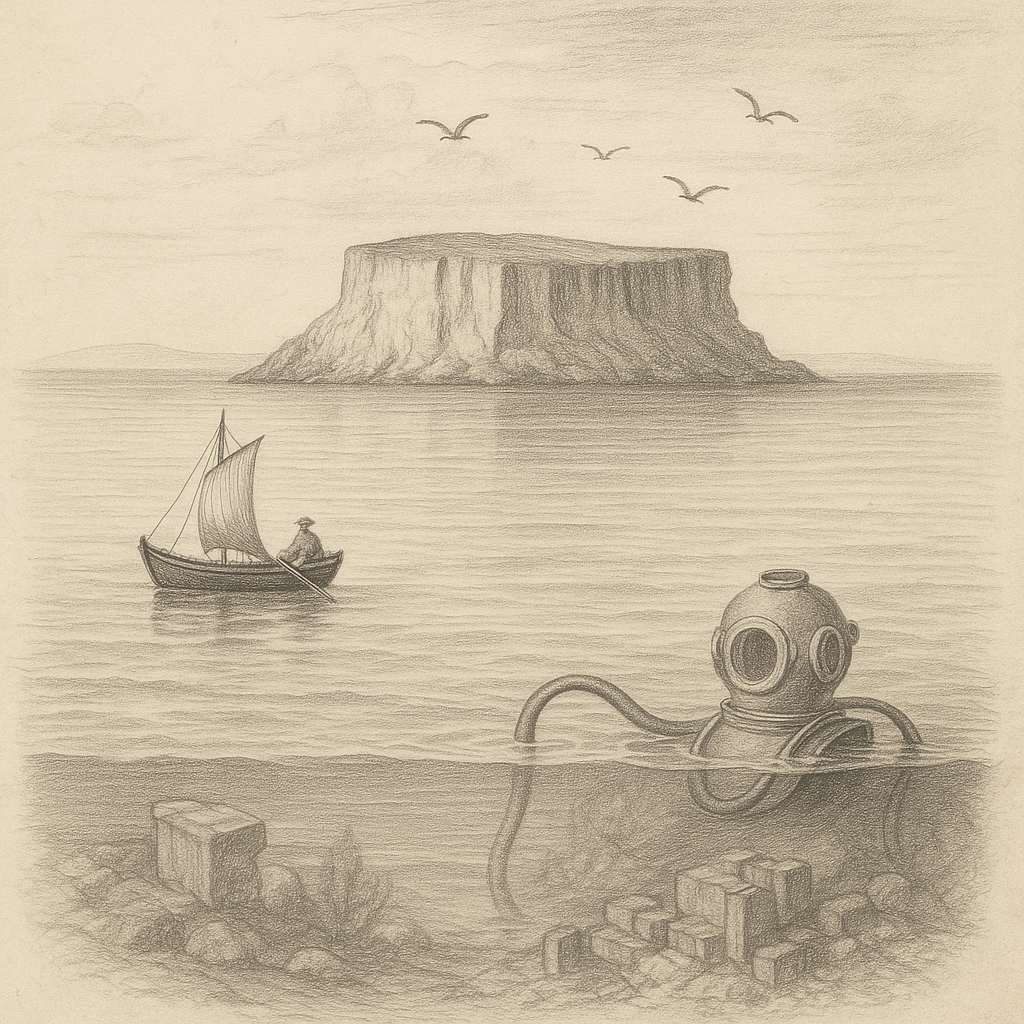
– Divers exploring underwater near the islet have encountered unusual rock formations and wartime debris, adding an element of archaeological interest to the zone.
– Owing to the danger from unexploded ordnance left behind from military exercises, authorities have designated a 1-nautical-mile exclusion zone around the islet.
Legends and Folklore
Like many mysterious and remote natural landmarks, Filfla has inspired various legends among the Maltese people. One of the most enduring tales tells of Filfla having once been much larger and even inhabited. According to this legend, the islet was cast away into the sea by divine wrath after its inhabitants committed unforgivable sins. As punishment, the ground split, and the island was swallowed by the sea, leaving behind only the remnants we now call Filfla.
Another traditional narrative connects Filfla with the ancient Arabic term “felfel,” meaning “pepper,” suggesting the islet might have once been a site for trade or associated with exotic supplies. Some local fishermen have long believed that Filfla is haunted, attributing strange disturbances at sea or malfunctioning equipment to the spirits believed to dwell there.
Parents would sometimes use the islet to discourage children from misbehaving, warning them they might be banished to Filfla if they didn’t behave—a testament to the islet’s ominous legacy in Maltese cultural imagination.
Conclusion
Filfla stands as a silent guardian at Malta’s southernmost fringe, defying its small size with immense ecological, historical, and cultural value. Off-limits and largely untouched by modern development, the islet is both a wonder of nature and a vessel of deep-rooted mystery. Whether explored academically or admired from afar, Filfla continues to captivate scientists, conservationists, and storytellers alike. Its role in Malta’s natural heritage ensures that it remains a protected, revered, and enigmatic element of the Mediterranean landscape.