Few inhabited places on earth feel so provisional. In the southeastern reaches of the Svalbard archipelago, between the Barents Sea and the routes of weather moving out of the Arctic Ocean, Hopen Island lies long and narrow, a spare strip of rock and frozen ground about 33 kilometers in length and only a few kilometers across at its widest point. It is not dramatic in the way of alpine Svalbard, with its steep glacier walls and famous fjords. Its severity is flatter, barer, more exposed: a low ridge of mountain ground rising from sea ice and cold water, with the highest point a modest summit called Iversenfjellet, roughly 370 meters above sea level. That relative lack of height makes the island seem even more vulnerable to the sky above it. Here, weather does not arrive; it occupies.
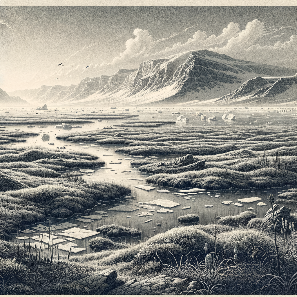
The island belongs politically to Norway and is administered as part of Svalbard, yet it stands apart even within that already remote world. South of the main group, it is one of the archipelago’s outliers, often surrounded in winter and spring by pack ice, and for long periods inaccessible except by aircraft or specially equipped vessels. The landscape is largely treeless, naturally enough at this latitude, with patterned ground, frost-shattered slopes, sparse tundra vegetation, and shorelines that can look less like beaches than unfinished margins between stone, ice, and surf. Polar bears move through the region. So do walruses and seals in surrounding waters. Seabirds use the island in great numbers during the short Arctic breeding season, turning sections of this austere place into one of those paradoxes common in the far north: a silence interrupted by sudden, dense life.
Weather work
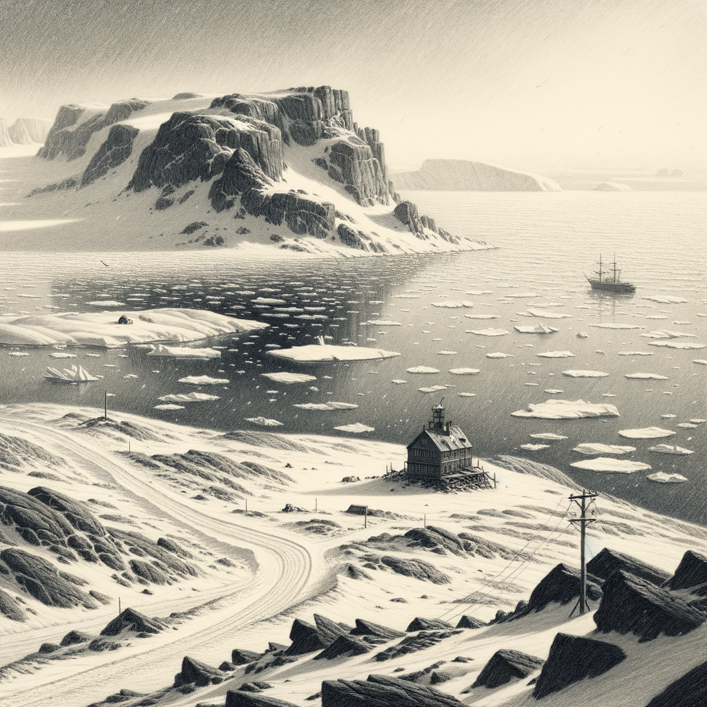
The modern human purpose of the island is exacting rather than expansive. Since 1949, a meteorological station has operated here year-round, staffed by a small crew from the Norwegian Meteorological Institute. The station’s practical importance far exceeds the scale of the settlement. Observations from this outpost feed forecasting systems for the Barents region and beyond, where sea, ice, and atmosphere are tightly entangled. In a part of the world where visibility can collapse, winds can shift fast, and sea ice changes the terms of navigation, weather data are not abstract information; they are a form of infrastructure.
That station is the island’s one sustained human foothold, and even it remains contingent. Personnel live with strict routines shaped by isolation and by the permanent possibility of polar bear encounters outside. Supplies are limited, transport is uncertain, and the annual rhythm is still dictated by darkness, cold, and storm. During the Second World War, this same strategic value—the need to know what the atmosphere was doing over the Arctic—gave the island a more dangerous significance. Weather stations in Svalbard became objects of military interest because forecasts from the high north mattered to operations across the North Atlantic and northern Europe. Like several places in the archipelago, the island’s remoteness did not shield it from the war; it merely made its role more technical and more exposed.
Recorded in seabirds and ice
For all that, the island is not chiefly a story of people. It is better understood as a biological station in the older sense, a place where species return because geography compels them. The cliffs and slopes support breeding seabirds, including kittiwakes, fulmars, guillemots, and little auks, while the surrounding marine zone is part of the wider ecological engine of the Barents Sea. Arctic foxes occur here as well, opportunists in a landscape where nourishment comes seasonally and often from the shore. The vegetation is sparse but specialized, composed of hardy Arctic plants adapted to shallow active soils, wind exposure, and a growing season measured in weeks.
Sea ice has long been one of the island’s defining conditions, and the changing extent of that ice has made it important to science in another way. Its station and observations have contributed to the record of Arctic climate and sea-ice variability over decades. That gives the place a peculiar double identity: physically marginal, scientifically central. A narrow island in an empty sea becomes, through continuity of measurement, a witness. Not a witness in the literary sense, but in the disciplined accumulation of numbers—temperature, wind, pressure, ice conditions—taken over and over in a place where almost nothing distracts from the elements themselves.
A line left in the open
Older accounts from navigators and polar travelers tend to describe the island with a kind of plain respect. It has none of the lush embellishment that gathers around tropical islands and little of the heroic glamour attached to the highest Arctic mountains. What it has instead is exposure. Seen from the sea, it can appear as a dark, elongated interruption under low cloud, hard to read, harder to approach, and easy to imagine as the sort of landfall that offers orientation without comfort. Even its name, “Hopen,” has often been linked in popular retellings to “hope,” though the documented naming history belongs to the practical world of northern navigation rather than to romance.
That practicality is part of what makes the island memorable. It has been used, measured, crossed by birds, circled by ice, and inhabited only in the narrowest functional sense. No village spread here, no harbor town took hold, no mythology of settlement softened the place. What remains is more austere and, for that reason, more compelling: a strip of Arctic ground where the human presence has never become the main event. The station lights, when they shine through the long dark, do not transform the island into something welcoming. They simply mark a point where observation continues, season after season, in one of the loneliest inhabited fragments of the European far north.