Jan Mayen, a remote volcanic island in the Arctic Ocean, is a Norwegian territory known for its dramatic landscapes, harsh climate, and unique biodiversity. With no permanent residents, the island serves as a hub for scientific research and meteorological observation. Dominated by the towering Beerenberg volcano, Jan Mayen offers a glimpse into one of Earth’s most untouched environments.
History of the Island
Jan Mayen was first discovered by Dutch whalers in the early 17th century. Willem Barentsz is believed to have sighted the island in 1596, but the first recorded landing came in 1614 when Jan Jacobszoon May, a Dutch explorer, documented the territory, which now bears his name. Throughout the 17th century, Jan Mayen was a base for whaling expeditions, but over-hunting quickly depleted local whale populations. Afterward, the island was largely abandoned, except for sporadic visits by explorers and scientists. Norway claimed sovereignty over Jan Mayen in 1929, and since then, it has been administered as part of the Kingdom of Norway.
Current Settlement and Usage
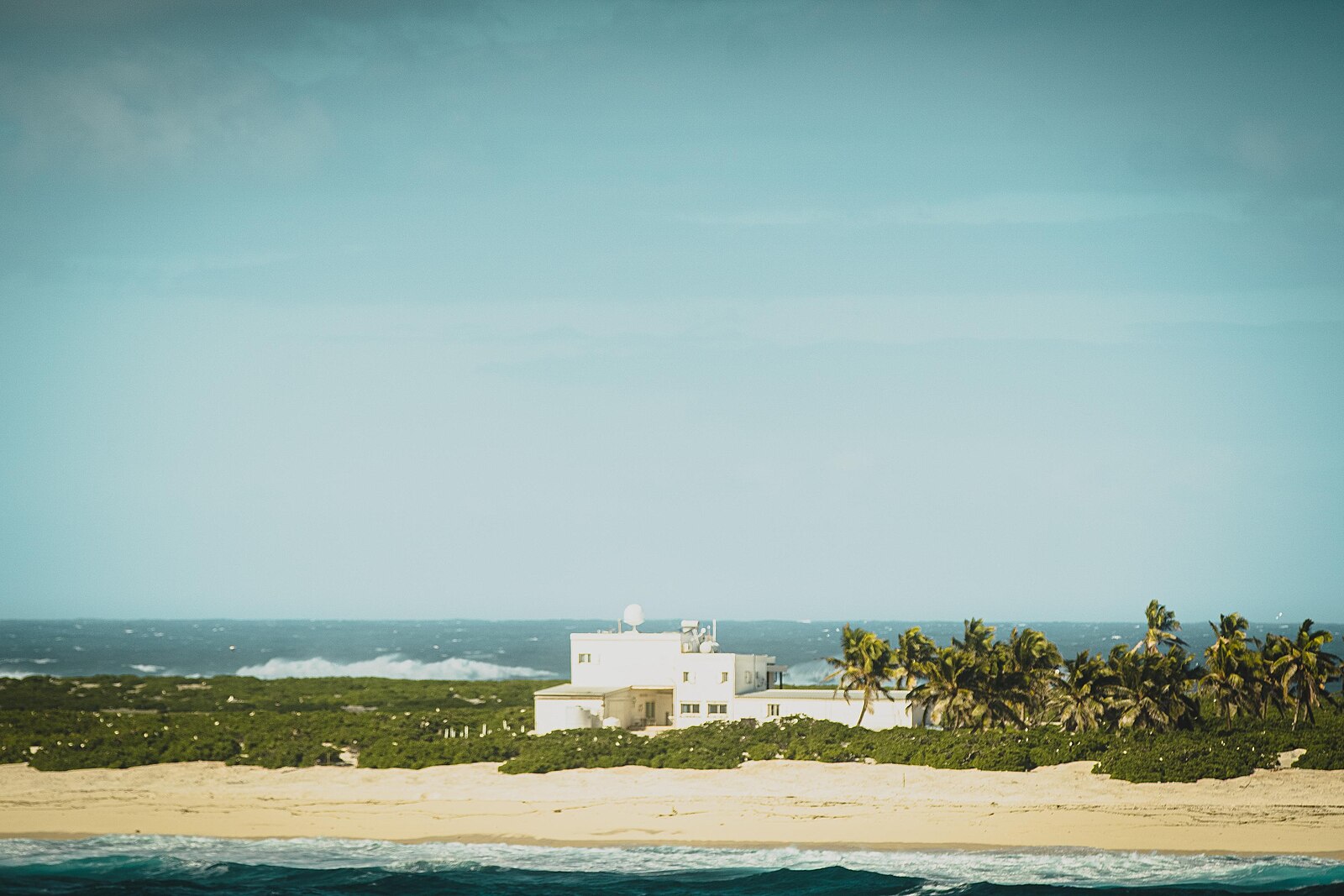
Today, Jan Mayen has no permanent population but is home to a small group of personnel operating a weather station and a radio station. Typically, around 18 people live on the island at any given time, rotating in shifts. These include meteorologists, technicians, and military staff maintaining Norway’s presence in this strategic Arctic region.
The island experiences an Arctic climate with long, cold winters and short, cool summers. Average annual temperatures range from -6°C (21°F) in winter to around 5°C (41°F) in summer. Beerenberg, an active stratovolcano, contributes to the island’s geological significance and occasional seismic activity.
Geography of the Island
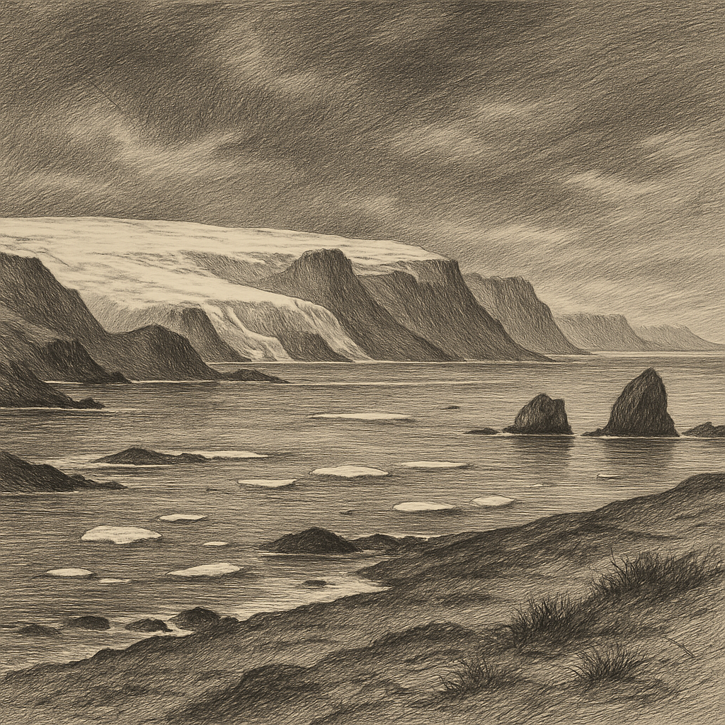
Jan Mayen lies in the North Atlantic Ocean, about 950 km (590 miles) west of Norway and 600 km (370 miles) northeast of Iceland. The island spans approximately 373 square kilometers (144 square miles), making it one of the smallest territories in the region. Its most notable feature is the Beerenberg volcano, which rises to 2,277 meters (7,470 feet) above sea level, making it the northernmost active volcano on Earth. The island is isolated, with the nearest landmasses being Greenland to the west and Svalbard to the north.
Flora and Fauna
The harsh Arctic environment limits the biodiversity of Jan Mayen. Historically, the island supported a thriving marine ecosystem, with whales and seals dominating its waters. However, centuries of whaling greatly reduced these populations. Today, seals, seabirds, and polar bears occasionally visit the island, and its surrounding waters remain rich in marine life, including fish and plankton.
Flora on Jan Mayen is sparse, consisting mainly of mosses, lichens, and some Arctic flowering plants. The island’s volcanic soil and severe climate hinder plant growth, but these hardy species adapt to the challenging conditions, forming the foundation of the local ecosystem.
Jan Mayen remains a unique and mysterious destination, offering insights into Arctic ecosystems and volcanic activity while serving as a strategic and scientific outpost for Norway.