Remote Islands

Exploring the World’s Most Remote Islands

King Edward Point

About

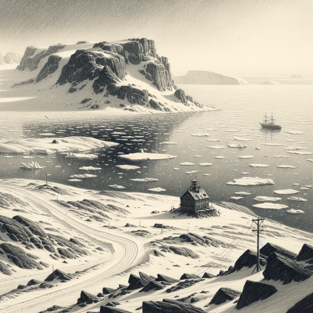
King Edward Point is a research station and administrative center located on the island of South Georgia, part of the British Overseas Territory of South Georgia and the South Sandwich Islands. The station was established in 1909 as a base for the British Antarctic Survey, and it has played a key role in supporting scientific research in the region ever since. The station is currently run by the Government of South Georgia and the South Sandwich Islands, and it serves as the main point of contact for visitors to the island.

King Edward Point is the main hub for scientific research on South Georgia and the South Sandwich Islands. Scientists from around the world come to the station to conduct research on the island’s unique and diverse flora and fauna, similar to the scientific programs conducted at the Crozet Islands in the Indian Ocean, as well as its geology and climate. The station also serves as a base for monitoring the populations of penguins, seals, and other marine mammals that live in the waters around South Georgia.

The station also serves as an important logistics center for the British Antarctic Survey and other organizations working in the region. It provides accommodation, laboratory facilities, and other support services to researchers and field teams working on the island and in the surrounding waters. Additionally, King Edward Point is the main port of entry for visitors to South Georgia and the South Sandwich Islands, and it serves as the center of administration and government for the territory.
Do you like my work? Buy Me A Coffee

More Islands to Explore

  • Buried Arctic archives resurface on Prince Patrick Island

    Buried Arctic archives resurface on Prince Patrick Island

    Few pieces of land seem so thoroughly given over to weather. In the western Canadian Arctic, beyond the better-known channels of the Northwest Passage, Prince Patrick Island lies as a broad, spare mass in the Queen Elizabeth Islands of Nunavut, bounded by ice-choked seas for much of the year and visited more often by pressure…

    Read more

  • Cold War relics on Graham Bell Island map shifting Arctic geopolitics

    Cold War relics on Graham Bell Island map shifting Arctic geopolitics

    There are islands that feel discovered, absorbed into routes and narratives, and then there are islands that still seem to stand outside ordinary time, known mostly through ice reports, expedition logs, and military records. Graham Bell Island belongs to the second kind. It lies at the northeastern edge of Franz Josef Land in the Russian…

    Read more

  • A century of maps and myths reframes Marcus Island

    A century of maps and myths reframes Marcus Island

    Names can mislead, and this one has done so for more than a century. Marcus Island is the older Western name for Minamitorishima, a tiny Japanese coral island set far out in the northwestern Pacific, almost absurdly alone. It lies southeast of mainland Japan and east of the Ogasawara Islands, closer in spirit to the…

    Read more