About
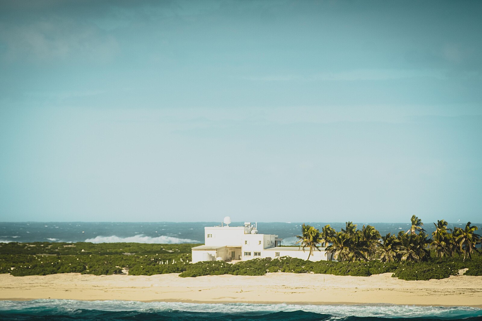
King Edward Point is a research station and administrative center located on the island of South Georgia, part of the British Overseas Territory of South Georgia and the South Sandwich Islands. The station was established in 1909 as a base for the British Antarctic Survey, and it has played a key role in supporting scientific research in the region ever since. The station is currently run by the Government of South Georgia and the South Sandwich Islands, and it serves as the main point of contact for visitors to the island.
King Edward Point is the main hub for scientific research on South Georgia and the South Sandwich Islands. Scientists from around the world come to the station to conduct research on the island’s unique and diverse flora and fauna, similar to the scientific programs conducted at the Crozet Islands in the Indian Ocean, as well as its geology and climate. The station also serves as a base for monitoring the populations of penguins, seals, and other marine mammals that live in the waters around South Georgia.
The station also serves as an important logistics center for the British Antarctic Survey and other organizations working in the region. It provides accommodation, laboratory facilities, and other support services to researchers and field teams working on the island and in the surrounding waters. Additionally, King Edward Point is the main port of entry for visitors to South Georgia and the South Sandwich Islands, and it serves as the center of administration and government for the territory.