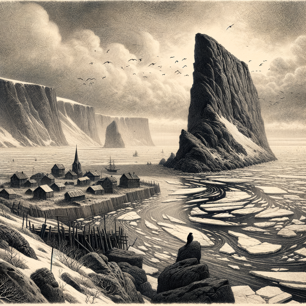
Between two nations and on the lip of the Arctic, Little Diomede Island rises from the Bering Strait with a blunt, improbable steepness, a mass of dark rock surrounded by moving ice, violent currents, and one of the most politically charged stretches of water on earth. In clear weather, the view from its shore reaches not only across sea and pack ice but across the International Date Line and toward another country entirely. The larger Russian island, Big Diomede, stands just a few kilometers away. Few places make geography feel so immediate. Fewer still make it feel so strange.
This is the smaller of the Diomede Islands, known in Inupiaq as Ignaluk, lying roughly midway between Alaska and Siberia. It belongs to the United States and sits in the Nome Census Area of Alaska, while its neighbor belongs to Russia. The narrow passage between them has often been called the Ice Curtain, a phrase sharpened by Cold War history but rooted in the physical drama of the strait itself: sea ice crowding the channel in winter, fog and wind erasing distance in summer, and a border running through water that has long been traveled by Indigenous people.
An inhabited rock in the middle of a frontier
Unlike many remote northern islands romanticized for their emptiness, this one has long been lived on. The village of Diomede clings to a narrow terrace at the western foot of the mountain, where buildings, fuel tanks, boardwalks, and a school are set against slopes too steep for expansion. The island is only a few square miles in area, and most of it rises abruptly into a plateau-backed mass of weathered granite. There are no trees. There is almost no level ground. In winter, the island can be locked in sea ice; in other seasons, access depends on helicopter service and uncertain weather. Barges and small boats face difficult conditions. Nothing about daily life is casual here.
The settlement is overwhelmingly Inupiat, and the Diomede community preserves a much older human geography than the international border suggests. For centuries, people moved through these waters, hunting marine mammals and maintaining ties across the strait. The separation hardened in the twentieth century. After the sale of Alaska to the United States in 1867, the islands became a visible marker of a new imperial boundary, though local patterns of travel did not instantly vanish. The true rupture came later, especially during the Cold War, when contact between the two Diomedes was effectively cut. Big Diomede’s Indigenous residents were relocated by Soviet authorities to mainland Russia in the 1940s, while the Alaskan island remained inhabited. One island kept its village; the other became a military outpost. The closeness between them only made the division more severe.
Stone, birds, and the pressure of weather
The island’s shape governs everything. Sea cliffs and rock faces provide nesting habitat for seabirds, and the surrounding waters are part of a biologically rich marine corridor through which bowhead whales, walruses, seals, and other Arctic species move. The wider Bering Strait is one of the great migration bottlenecks of the north, used by birds and marine mammals alike. On the island itself, the severe terrain and cold maritime climate limit vegetation to tundra communities, mosses, grasses, and low flowering plants that endure wind, salt, and a brutally short growing season.
To look at the place on a map is to imagine a neat point between continents. In reality, it is a place of gradients and hazards: drifting ice that can crush a shoreline, fog that blinds aircraft, storms that turn a short crossing into a serious undertaking. Winter temperatures, wind chill, and darkness make the island feel even more detached from the mainland than the mileage suggests. Yet it is not merely a hard place. It is also a vantage point over one of the world’s most consequential natural corridors, where the Arctic and Pacific meet and where climate change is increasingly visible in altered sea-ice conditions.
A border you can see
Few inhabited places are so often described through the presence of another shore. Big Diomede dominates the horizon to the west, and with it comes the peculiar fame of standing near Tomorrow Island while living on Yesterday Island, a shorthand for the date line division even if the phrase belongs more to popular imagination than formal geography. That nearby Russian landmass gives the Alaskan island an almost theatrical tension, but the deeper story is less theatrical and more human: families divided, routes interrupted, an old Indigenous crossroads recast as a strategic edge.
That edge has attracted outsiders for centuries. The Danish-born navigator Vitus Bering sighted the islands in 1728 while sailing for Russia, naming them for St. Diomede because the sighting fell near that saint’s feast day in the Orthodox calendar. Later explorers, missionaries, traders, and government officials would all arrive with their own purposes, but none altered the essential fact of the place. It remained difficult, exposed, and stubbornly local. Even now, for all the symbolism attached to it, the island resists being reduced to emblem or curiosity. It is a community anchored to a mountainside above a dangerous sea.
Seen from afar, the rock appears almost too abrupt to hold ordinary life. Seen more closely, that is precisely what makes it memorable. The houses, the school, the helicopter pad, the paths cut into slope and snow: these are not embellishments on a wilderness scene but proofs of adaptation on one of the narrowest ledges in North America’s far north. Across the water, another island waits in a different country and a different day. Between them runs not only a line on charts but a history of contact, separation, survival, and weather that never truly settles.