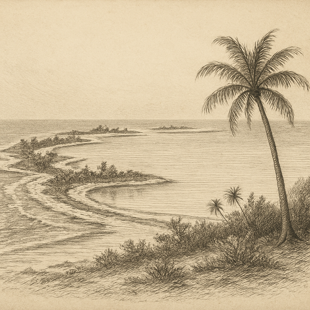
Longitude does some of the storytelling here. Near 150 degrees west, far south of Hawaiʻi and still farther from any continental shore, Caroline Island lies in the southern Line Islands of Kiribati, a broken ring of coral enclosing lagoons of startling clarity. The atoll is low, narrow, and almost level with the sea, its highest ground only a few meters above the tide. On charts it can look almost negligible: a long, delicate necklace of islets spread around a shallow basin, with passes, reefs, and surf lines doing most of the visible work. In person—or in the records of those who reached it—it emerges as something more exacting: a place of blinding light, hard salt, wind-stunted vegetation, and distances measured not by mountains or roads but by oceanic emptiness.
Its remoteness is not rhetorical. This is one of the easternmost pieces of land in the world, close enough to the International Date Line to have become briefly famous at the turn of the millennium, when Kiribati adjusted the line eastward in 1995 so the entire nation could share the same calendar day. Rechristened Millennium Island by the government, the atoll was promoted as one of the first places on Earth to see the sunrise of 1 January 2000. Yet the modern flourish sits lightly on a place with almost no permanent human story. There are no towns here, no deep harbor, no freshwater lens generous enough to sustain lasting settlement at any substantial scale. What remains most characteristic is not habitation but exposure.
Coral ground at the edge of the date line
The atoll is roughly 9 kilometers long and composed of dozens of small motu, or islets, separated by reef flats and channels. Coconut palms stand in places, joined by scrub and salt-tolerant plants adapted to poor soils and intense sun. The lagoons, varying in salinity and depth, are among the island’s defining features. Some are connected to the sea, others more isolated; together they create a mosaic of habitats unusual even within the central Pacific. Because the land is so low, weather is never abstract here. Drought can alter the chemistry of the lagoons. Storms can rearrange beaches and scour vegetation. The horizon stays uninterrupted in every direction, and that unbroken line gives the island an unnerving visual simplicity: sky, water, coral, glare.
Its ecological significance is better established than its human one. Ornithologists and conservationists have long noted the atoll as one of the most important seabird sites in the tropical Pacific. Vast colonies of sooty terns, frigatebirds, and other species have nested here, taking advantage of a place where, for long periods, people were absent and introduced predators limited or absent. The atoll is also known for an exceptionally intact assemblage of terrestrial invertebrates and for native vegetation communities that have disappeared or been heavily altered on many other Pacific islands. In 2014, this biological richness helped secure inclusion within the Phoenix Islands Protected Area UNESCO World Heritage listing after the protected area’s boundary was expanded to include the southern Line Islands. For a low coral atoll with no dramatic peaks or ruins, that recognition says something essential: what matters here is survival in a nearly undisturbed state.
Seen, named, used lightly, left largely alone
European awareness of the atoll developed gradually through the age of Pacific navigation. The island is generally associated with a sighting in 1606 by the Portuguese explorer Pedro Fernandes de Queirós, sailing for Spain, though the complexities of early Pacific identification mean historians treat some first-sighting claims cautiously. What is firm is that by the eighteenth and nineteenth centuries it had entered maritime knowledge and acquired the name by which it became widely known, probably after the whaling ship Caroline, reported in the area in 1795. Like many remote atolls, it belonged to the working geography of whalers, traders, and guano speculators more than to any continuous settled world.
In the nineteenth century, coconut planting and copra production reached some Line Islands, and there were intermittent attempts to use this atoll economically. Those efforts never overcame the practical limits imposed by isolation, lack of water, and the difficulty of maintaining labor and transport on such slight land. By the twentieth century, whatever schemes had touched it had faded, leaving behind little of the heavy physical imprint seen on more intensively occupied islands. The British incorporated it within the Line Islands Colony; after independence, it became part of Kiribati. Administration existed on paper more than in daily life. The island’s dominant condition remained the same one mariners had always confronted: distance first, logistics second, and everything else after that.
Where the century briefly turned
Its oddest moment of public attention arrived not through conquest or catastrophe but through chronology. Because Kiribati spans a vast spread of the Pacific, the government’s 1995 date-line shift moved the atoll into a time zone that made it one of the first inhabited territories—though not a permanently inhabited island—to greet the year 2000. Journalists, officials, and a carefully managed ceremonial party came for the occasion. For a few hours, an atoll usually discussed by seabird specialists and hydrographers was recast as a global stage set for sunrise. Then the cameras left, and the place returned to its normal scale, which is to say almost none at all in human terms.
That brief episode is revealing because it did not alter the underlying fact. Even when the world looked directly at it, the island offered no grand civic backdrop, no monumental profile, no accumulated architecture to receive the attention. It offered dawn, coral, tide, birds, and the unnerving neatness of a place with scarcely any margin between land and ocean. Few islands seem so close to being erased from ordinary thought while remaining entirely, stubbornly real.
What lingers is not a legend but a set of exact conditions: a low ring of reef in the central Pacific, lagoons blue enough to seem invented, bird colonies loud enough to drown the surf, and a history so light on the ground that the place can still feel prehuman even when documents say otherwise. Some islands persuade by abundance. This one does it by subtraction. After the names, the claims, the calendar trick, and the passing utility of empire, there is still only the coral line itself, holding above the water with remarkable delicacy.