A ring of coral in the far eastern Tuamotus
Seen on a chart, it hardly seems possible that so much solitude can be compressed into such a small shape: a low coral atoll in the northeastern Tuamotu Archipelago of French Polynesia, far out in the open Pacific, where the ocean has room to gather its full width and force. Napuka is not a high island rising theatrically from the sea. It is something more fragile and, in its way, more haunting: a coral rim around a lagoon, a place that sits only a few meters above the water, exposed to weather, drought, and the slow, unarguable power of waves.
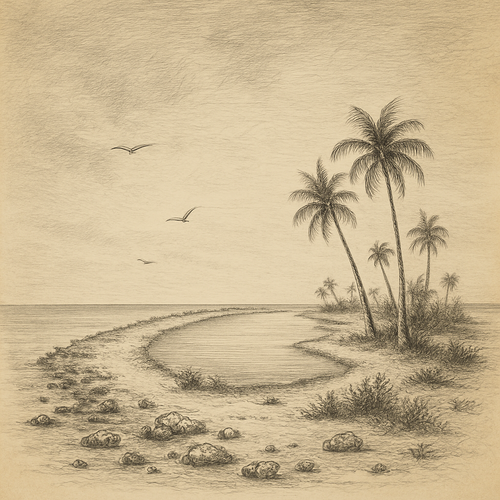
Its form is typical of the Tuamotus and yet never merely generic. The land is narrow, pale, and vulnerable, built from coral debris and sand rather than rock. Coconut palms and scrub vegetation interrupt the brightness of the reef. Inside lies the lagoon, enclosed and shallow, while beyond it the Pacific presses against the outer reef in long, white bursts. There are no mountain silhouettes here, no streams, no sheltering valleys. Everything is horizontal: sky, sea, reef, wind. That stark geometry gives the atoll a peculiar intensity. On islands like this, remoteness is not just a matter of distance from a city. It is written into the landscape itself.
The northeastern Tuamotus have long been known for their isolation even within an already isolated archipelago. Napuka lies near Tepoto, another small inhabited atoll, and together they form one of the more distant corners of French Polynesia. The climate is dry by Polynesian standards. Fresh water is limited, agriculture constrained, and life historically demanded careful adaptation to a place with thin soils and few natural resources beyond the sea, the coconut palm, and what could be coaxed from coral ground.
Fragments of history on a difficult shore
European knowledge of this part of the Pacific arrived in fragments, through the long age of exploration when atolls appeared suddenly on the horizon as dangerous interruptions in empty water. The Tuamotus were notorious among navigators for exactly that reason: low coral islands could be missed until the last moment, and reefs turned uncertainty into wreckage. Napuka entered the written record through that larger history of Pacific navigation, when Spanish, British, Russian, and French expeditions gradually mapped the archipelago over the course of the eighteenth and nineteenth centuries. Different atolls acquired different names in European charts, but the indigenous Polynesian presence long predated all of them.
That older human history matters here. This is not one of those islands made famous by complete abandonment or by an absolute absence of people. It has been inhabited, though always lightly, and the smallness of that population is part of its story. In the Tuamotus, habitation never meant domination of the environment; it meant negotiation with it. Communities lived with limited land, exposure to cyclones, dependence on fishing, and the precariousness of fresh water. Missionary influence and colonial administration eventually reached even distant atolls, as they did throughout French Polynesia, reshaping language use, religion, and local authority. Yet places at the edge of the map tend to preserve another kind of continuity as well: an awareness that survival depends less on outside systems than on memory, kinship, and the reading of sea and weather.
The record is not crowded with dramatic episodes, and that scarcity is itself revealing. Many remote atolls are not remembered because history forgot them; they are dim in the archives because they lived outside the routes that generated paperwork. Their significance lies not in spectacular events but in endurance.
What the ocean permits
Coral atolls are often imagined as tropical abundance made visible, but the reality can be austere. The lagoon and surrounding waters have sustained fishing for generations, and the reef supports the marine life typical of the Tuamotus, one of the world’s great coral-reef regions. On land, however, ecological richness is constrained by size, salinity, and the absence of rivers or deep soils. Such islands are laboratories of limitation. Their plants are those able to withstand salt spray, heat, and porous ground; their birds and seabirds use whatever refuge the narrow land can offer; their human settlements must fit within the same strict arithmetic.
That arithmetic becomes most obvious in storms. Low atolls are acutely exposed to cyclones and overwash. In the central Pacific, a rise in sea level or a severe storm is not an abstract environmental concept but a direct test of whether an island can hold its shape. This vulnerability gives places like Napuka an atmosphere unlike that of larger islands. They feel provisional, though they have existed for centuries: beautiful, inhabited, and always one hard season away from damage.
For all that, the atoll is not merely a symbol of fragility. It is also part of one of the most remarkable human geographies on earth: a vast Polynesian world in which people settled tiny coral islands separated by immense reaches of ocean. That achievement can disappear behind the modern language of remoteness, but it should not. What appears isolated from the perspective of a continental map was, for expert navigators, part of a known seascape.
At the edge of permanence
There is something unforgettable about low islands in the open Pacific because they challenge ordinary ideas of place. A mountainous island declares itself. An atoll almost whispers. It is little more than a line at the meeting of sea and sky, and yet on that line generations have lived, fished, worshipped, and waited out weather that had nowhere else to go. The silence such a place suggests is not emptiness. It is concentration: wind in palms, surf on reef, lagoon light shifting by the hour.
In an age of satellite images and instant location, the old mystery has not entirely vanished. A remote atoll still carries the older truth of ocean travel—that land can be slight, that survival can be delicate, and that human presence need not be loud to be real. The most lasting impression is not of paradise, nor of desolation, but of exposure: a thin crescent of coral holding against the Pacific, small on the map and immense in the imagination.