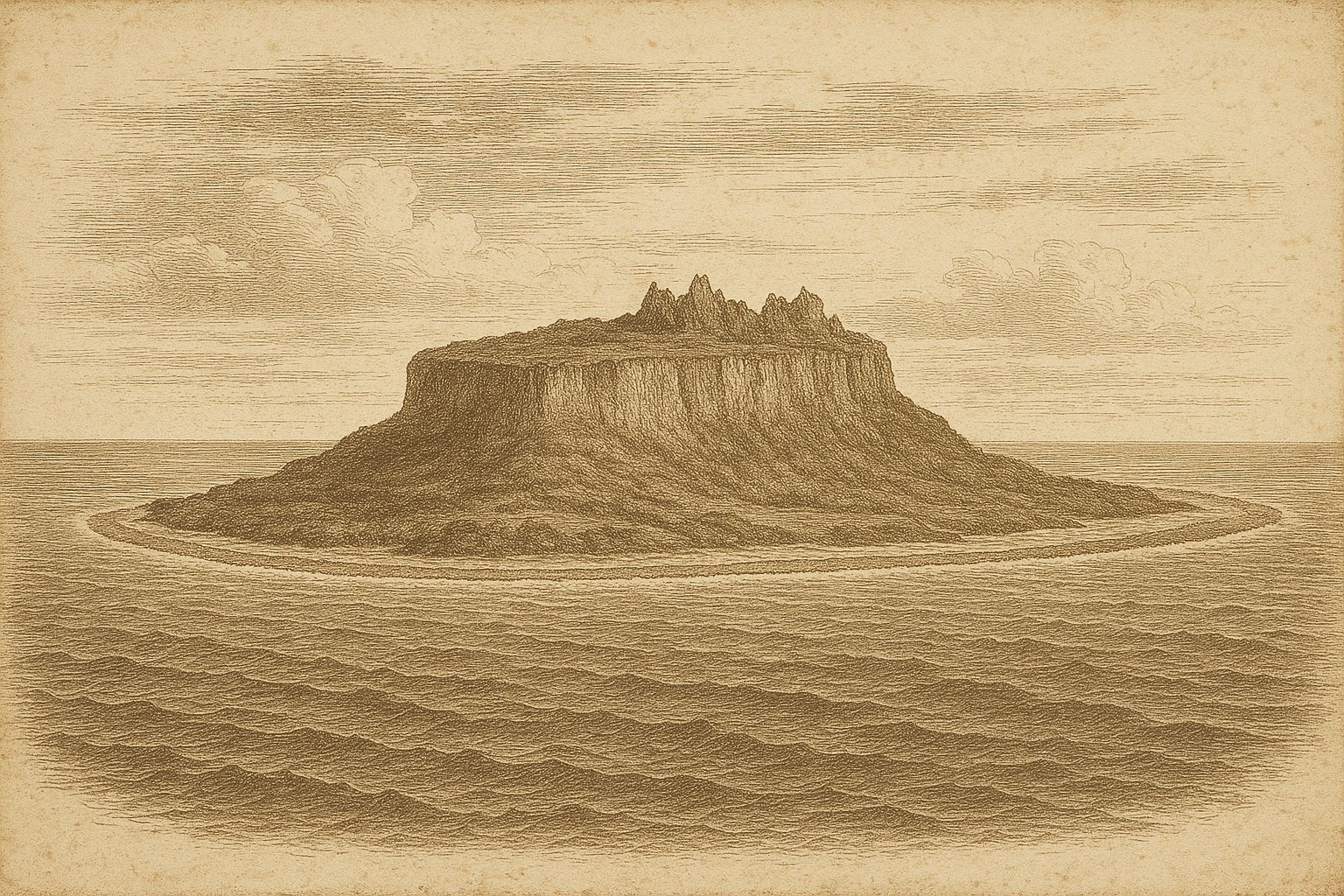
On a long swell with nothing to measure but sky and water, the first approach would have met a pale ring where surf folded over coral, and beyond it a stony rise. Nauru sits in the central Pacific Ocean just below the Equator, a raised atoll whose rim flashes white and whose interior lifts like a table from the sea. Those who came first would have watched the color of the water for a channel through the reef and weighed hope against caution. The limestone holds heat; the air carries salt and the smell of rain even when the clouds pass by. Land appears small, self-contained, and exposed to everything.
What takes hold here is the shape: a narrow band of coast encircling a mined heart, reef and ridge, sea and stone in one small country. It is a sovereign state, the Republic of Nauru. Banaba in Kiribati lies about 300 km to the east, the nearest major neighbor across empty water. The land itself is 21 km², compact enough that the horizon feels near on every side, and yet the island’s past and light make it feel larger than its map.
The reef and first sight
From sea level, the island begins as sound. The fringing reef breaks the swell before the shore is seen, a steady, patient crash that marks a circular boundary. The water shifts from ocean blue to a pale, watchful green over coral heads. Beyond the ring lies the lift of land, old coral raised into a plateau. Boats have always needed judgment here. The reef is narrow and the drop outside is sudden, so a landing means timing and the kind of listening the ocean teaches slowly.
Charts later named Bottomside for the encircling plain and Topside for the interior, but the first clean note in the record came in 1798, when the English captain John Fearn sighted the island and called it Pleasant Island. The name has its own dryness in a place of surf and limestone heat. On a modern map the island looks solitary, yet it belongs to a scatter of remote Pacific specks like Howland Island and Kapingamarangi Island, each with its reef and hard light. Here the sense of arrival is narrow, specific. The reef, then the rise, then the ring of living shore.
The mined plateau and weather
On Topside, stone takes over. Pinnacled limestone stands in ranks and broken gardens, their edges sharpening in the sun. Heat rises from it, and cloud shadows pass without much relief. The climate is equatorial, consistently warm, with rainfall that can swing from season to long silence under the hand of ENSO. Droughts can last up to three years. When rain does come, it falls with conviction, feeding hollows and trickles that vanish again. The island feels exposed because it is, a platform facing sky and wind with little in between.
The lives of most people are set on Bottomside, a narrow coastal plain encircling the island, while the mined interior forms the view behind. Topside covers most of the land and was the focus of phosphate mining for over eighty years, leaving a sculpted maze that reads like a record of extraction. In the southwest sits Buada Lagoon, slightly brackish and slightly above sea level, a still surface in a cup of land. Shoreward, the lived world follows the reef rim; seaward, the ocean reminds the island of its scale.
A bird and the reef ring
Life here is shaped by the rock and the ring. The Nauru reed-warbler (Acrocephalus rehsei) carries a fragile tenure on the island, its Red List status revised to Near Threatened in 2023. The fringing reef, close and bright, animates the edge with presence and movement. Just offshore, the bottom falls away to the deep ocean, so the sense of being on a ledge is constant. Air salt, reef noise, and bird call make a spare music.
Nauru is a raised atoll, its interior lifted and weathered into pinnacles while the coast remains a thin thread of lower ground. In such places, what endures is often shape rather than lists, but the feeling of a complete system remains. The ring, the plateau, the inland Buada Lagoon, and life along Bottomside are parts of one form. In the wider ocean there are other atolls with comparable outlines—Tikopia Island comes to mind—but here the elevation inside makes the contrast sharper.
The shore and the present
Nauru is not an outpost of someone else. It is a sovereign state, the Republic of Nauru, its own jurisdiction on a small frame of land. Most residents live on the Bottomside coastal plain that circles the island, while the mined Topside forms the interior. The highest ground is Command Ridge, a modest rise that feels higher than it is because the ocean sits at every edge. The island’s modern memory holds hard passages too, including wartime deportations to Truk and return, stories marked in public commemoration.
Standing at the edge as light leans low, the opening image returns: reef noise, a green shift in water, the table of land set just above the sea. The first approach would always have been like this. In the mind it remains so, a fixed choreography of ring and rise. For a person drawn to distance, that is the pull—an island that presents its whole plan in a glance and then asks for patience. The last sound on leaving is the same as on arrival, a line of surf working the reef.
Quick facts
- Location: 0°31′39″S 166°56′6″E; approximately 300 km to Banaba (Kiribati)
- Area: 21 km²
- Highest point: Command Ridge, 71 m
- Status: Sovereign state (Republic of Nauru), independent since 31 January 1968
- Population: 11,680 (2021 census)
- Wildlife/Protection: Nauru reed-warbler (Acrocephalus rehsei) Near Threatened (2023); raised atoll with fringing reef; Buada Lagoon slightly brackish (~5 m above sea level; about 12 ha)
Sources
- Secretariat of the Pacific Community (2012): Climate Change Profile: Republic of Nauru (Version 1, 30 June 2012)
- GEF IW:LEARN / IOC-UNESCO (2010): Climate Risk Profile – Nauru
- Nauru Bureau of Statistics (2023): Nauru 2021 Population and Housing Census: Analytical Report
- WIPO (1968): Constitution of Nauru (1968) – WIPO Lex
- IUCN Red List (2023): IUCN Red List 2023-1, Table 7: Species changing Red List status
- ANU Open Research Repository (2013): Old Nauru
- Government of Nauru (2021): World War II Memorial – 75th Anniversary of Return from Ruk (Truk)