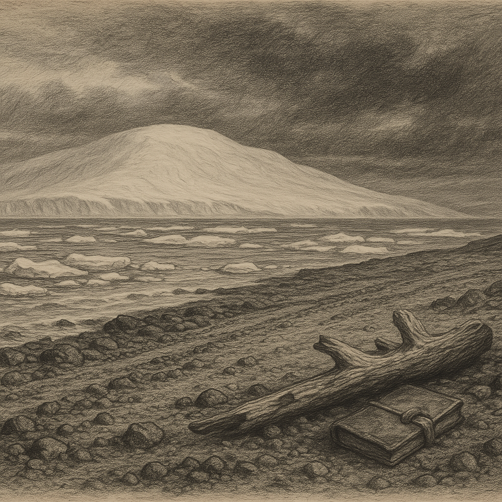
Long before most people ever see it on a map, Alexander Island exists as a problem of scale. It lies off the west coast of the Antarctic Peninsula, divided from that mainland by George VI Sound, and yet it is so large that calling it an island can feel almost misleading. At roughly 390 kilometers long, it is the largest island of Antarctica and among the largest islands on Earth, a place whose edges are easier to grasp than its interior. Ice dominates nearly everything: broad snowfields, ice shelves, deeply buried mountains, and headlands that appear only where rock forces its way through.
Its shape was not understood at once. When Fabian Gottlieb von Bellingshausen sighted part of the land in 1821, he named it for Tsar Alexander I of Russia, but the geography remained uncertain for more than a century. The white distances of the Antarctic are full of deceptive continuities. What looked like a promontory of the continent later proved to be separate ground. Not until the 20th century, through further survey and aerial reconnaissance, was its insular character firmly established. In Antarctica, even naming can arrive before knowing.
Ice, mountain, and a hidden coastline
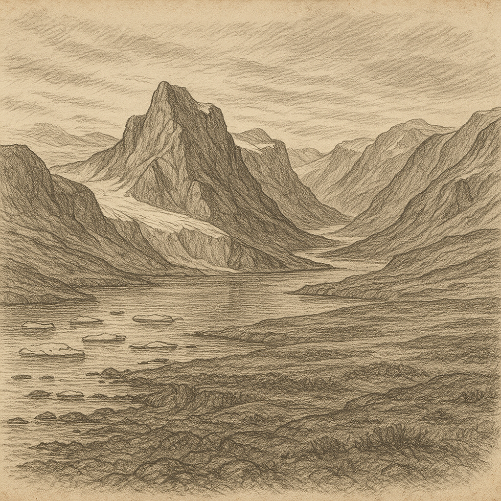
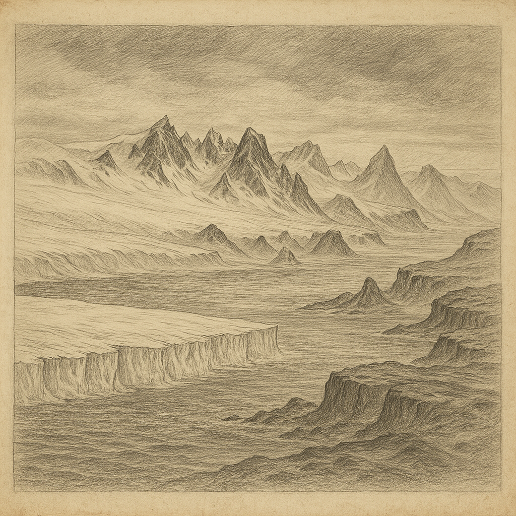
The island belongs to that severe western margin of the continent where weather, ocean, and glacial movement meet in complicated ways. Much of it is covered by an ice cap, but the land beneath is far from featureless. Mountain ranges run through it, including the Douglas Range, whose summits rise sharply above the surrounding ice. Nunataks and exposed ridges interrupt the whiteness like brief disclosures. Along parts of the coast, ice shelves extend the island outward into the sea, blurring the line between fixed land and floating mass.
This is not a static landscape, though it can look immobile from a distance. Snow accumulation, glacier flow, wind erosion, and calving at the margins all work on different clocks. On the island’s eastern side, George VI Ice Shelf has long been one of the defining features of the region, filling the sound between the island and the mainland. To the west lies the Bellingshausen Sea, where sea ice conditions and storms have helped keep the coast remote even by Antarctic standards.
Because conditions are so difficult, many details of the terrain entered human knowledge gradually: by sledge journeys, by aircraft, by patient surveying in windows of tolerable weather. The result is a geography that feels earned rather than merely observed. Headlands, inlets, and mountain groups are recorded with exactness, but exactness here never softens the impression of enormity.
How people reached it, and why so few stayed
No Indigenous population lived here; like the rest of Antarctica, it had no human habitation before the age of exploration. The island’s history is therefore not one of settlement and abandonment but of intermittent contact. Sealers and explorers moved through nearby waters in the 19th century, but the environment allowed no ordinary colony, no harbor town, no lingering frontier. Human presence arrived as expeditionary effort and scientific work, then withdrew again into weather and distance.
During the 20th century, British survey teams and other national Antarctic programs added most of the precise knowledge now attached to the island. Travel was often punishing. Sledge routes crossed crevassed surfaces and wind-scoured ground; aircraft made visibility and landing conditions central facts of survival rather than mere inconvenience. A few research stations have operated on or near its margins, including British bases established for survey and science, but these were always functional footholds, not beginnings of permanence.
That pattern matters. Some remote islands carry traces of extraction, military ambition, or failed schemes of colonization. This one is marked instead by disciplined brevity. People came to measure, map, drill, observe, and leave records. They did not come to stay in any ordinary sense. The absence feels integral to the place, not incidental.
Life at the edge of the white interior
Where conditions relent even slightly, life gathers. Coastal ice-free areas in the wider region support mosses, lichens, microbial communities, seabirds, and seals, and Alexander Island contains some of the scattered habitats that make Antarctic biology so localized and so revealing. In certain exposed sites, fossils have also been found, reminders that this now glaciated world preserves evidence of dramatically different climates and ecosystems in deep time. Parts of the island have yielded dinosaur remains and fossil plants, placing it within one of Antarctica’s most intriguing paleontological landscapes.
These discoveries sharpen rather than diminish the island’s strangeness. Beneath the ice and cold lies a geological history tied to ancient environments that were once milder, greener, and biologically rich. The modern silence is therefore layered over a much older abundance. Scientists reading rock here are not simply inventorying an empty place; they are recovering lost climates from one of the most difficult field settings on Earth.
There is little documented folklore attached specifically to the island, and that absence is telling. It has inspired no dense web of harbor tales because so few people have known it closely enough, for long enough, to make one. Its mystery is not the theatrical mystery of rumor. It comes from sparse contact, hard-won knowledge, and the persistent disproportion between what is mapped and what is felt in the presence of Antarctic space.
Seen in that light, the island is memorable not because it offers a dramatic human story, but because it resists becoming one. It remains a vast cold form beside the peninsula, half disclosed by survey, half veiled by weather, carrying mountains under snow and old worlds in stone. Most islands invite you to imagine arrival. This one makes you imagine endurance.