Not quite an island, not quite gone
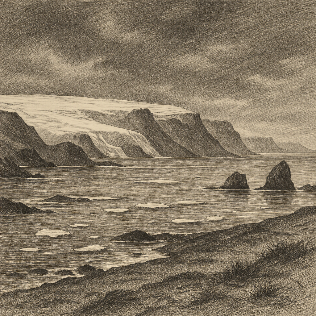
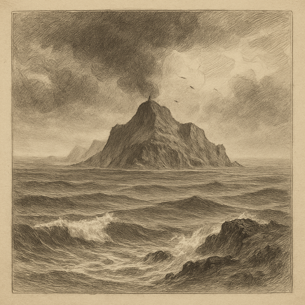
Maps still give it a name, and that simple act feels almost defiant. Siple Island lies along the coast of Marie Byrd Land in West Antarctica, near the edge of the Siple Coast, but it is not the kind of island most people imagine. It rises from the ice as a buried volcanic mass, largely mantled by the Antarctic Ice Sheet, its separateness obscured by the frozen world that has overtaken it. In a region where shorelines blur, where grounded ice shelves and snowfields disguise the line between land and sea, this is an island that has to be understood as much through geophysics as through sight.
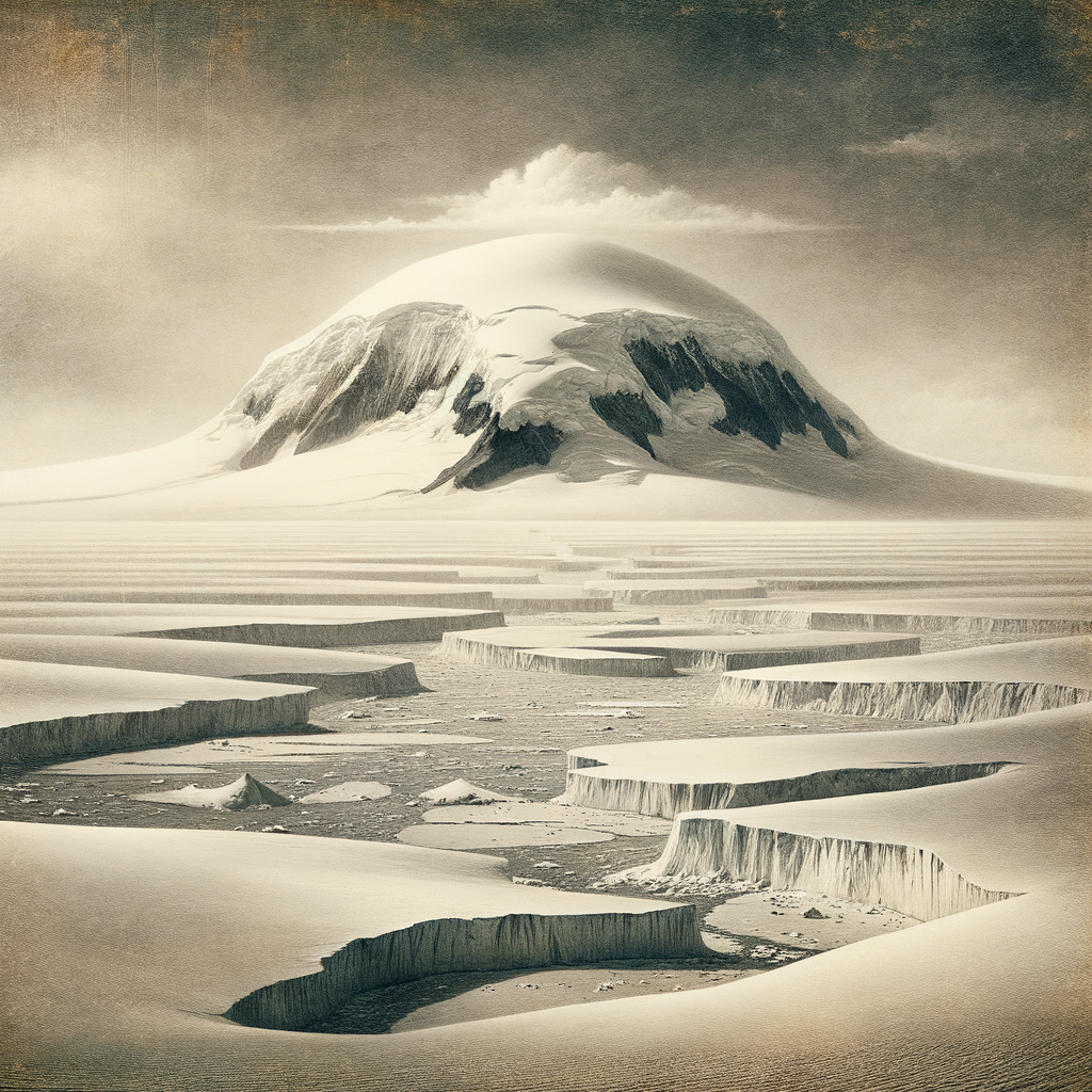
Its summit reaches a little over 3,000 meters, making it one of the larger volcanic edifices hidden within Antarctica’s western ice-covered margin. The exposed rock is scant. What gives the place its shape in scientific literature is not a ring of beaches or a line of cliffs, but the broad profile of a shield volcano, identified through survey work and the interpretation of ice-buried topography. The result is a landscape almost impossible to behold in full from the ground: a mountain-form sealed under cold, accumulated time.
That ambiguity is part of its power. Most islands announce themselves with edges. This one withholds them. Snow, crevasse fields, and moving ice erase the usual signs of insularity, so that the fact of surrounding water belongs less to the eye than to the chart and the data set.
A name from the age of polar aviation
The island was named for Paul A. Siple, the American Antarctic explorer, geographer, and scientist whose career became deeply entwined with the United States’ twentieth-century work on the continent. Siple had first gone south as a young man with Richard E. Byrd’s first Antarctic expedition in 1928–30, and later returned on subsequent expeditions, becoming one of the most experienced American polar figures of his generation. His name is attached elsewhere in Antarctica as well, but here it sits on a place that embodies the era when vast sectors of the continent were being fixed, named, and interpreted through aerial reconnaissance and systematic exploration.
Like much of Marie Byrd Land, the surrounding region entered clearer geographic knowledge in stages: coastal sightings, then flights, then mapping refinements, then the slower, more exacting work of glaciology and geology. This was never country of easy landfalls. The Ross Sea sector and the ice-choked margins to the east imposed their own logic, and what could be known often depended on weather windows, aircraft range, and the patient accumulation of observations over decades. In that sense, the island belongs to a specifically Antarctic history, one in which discovery was rarely a single dramatic moment. More often, it was a gradual sharpening of outline against white uncertainty.
No permanent settlement has existed there. There are no ruins, no abandoned station, no strandline of failed colonization. Human presence has been temporary, instrumental, and sparse: scientists, surveyors, aircraft crews, remote sensing specialists, each arriving as part of a larger effort to understand an ice sheet that can hide entire mountains. The silence of the place is not the silence after departure. It is the silence of near-total absence.
Under the ice, a volcanic body
Geologically, the island is part of the chain of volcanic centers associated with the west Antarctic rift system, a reminder that even the coldest continent has a deep history of fire. It is commonly described as a shield volcano, built by eruptions that once spread lava in broad layers rather than piling it into a steep cone. Today, however, almost all of that volcanic architecture lies under ice. The mountain’s significance is therefore partly structural: it is one of the subglacial and ice-draped highs that influence how ice flows toward the coast.
That matters. In West Antarctica, bedrock topography is not background scenery; it helps govern the behavior of the ice sheet itself. Features such as this can shape ice streams, divert movement, and create zones of grounding and drag that glaciologists track closely. Nearby, the names on the map—Ian, ice stream, shelf, coast—belong to one of the most intensely studied sectors of Antarctic ice dynamics. The island’s buried bulk participates in that system whether or not it is visible, exerting a quiet physical authority through mass and position.
Its environmental setting is correspondingly severe. Temperatures remain brutally low for much of the year, katabatic winds and storms can sweep through with little warning, and the familiar biological signatures of milder islands are largely absent. There is no documented human community, no native terrestrial ecosystem of the sort associated with temperate oceanic islands. Life in this region concentrates instead at the margins—microbial worlds in snow and ice, marine ecosystems offshore, seabirds and seals where open water and stable access permit. Here, the dominant fact is cryospheric rather than pastoral: an island comprehended through ice, weather, and the hidden continuity of rock.
What the map preserves
There is something arresting about a place that remains real while resisting ordinary visibility. Many remote islands accumulate stories because ships passed them, landed, wrecked, traded, or fought nearby. This one has generated no rich body of sailor folklore, no archive of strange visitors. Its rarity lies elsewhere. It shows how Antarctica alters even the basic categories of geography. Coastlines become provisional. Mountains disappear under accumulation. An island can persist as a named fact inside a nearly seamless white surface.
That does not make it abstract. On the contrary, it makes it exact in a different way. Radar, surveys, aerial photographs, and satellite measurements have given this place a kind of documentary presence more austere than anecdote. It is there in the scientific record as a volcanic high, there in expeditionary history through the name it bears, there in the ice-sheet studies that depend on knowing what stands beneath kilometers of frozen cover.
Seen this way, the island is less a destination than a revelation about the continent around it: Antarctica is not empty, only concealed. Beneath its cold uniformity, landforms endure with their own age, structure, and identity, waiting not to be romanticized but to be recognized.