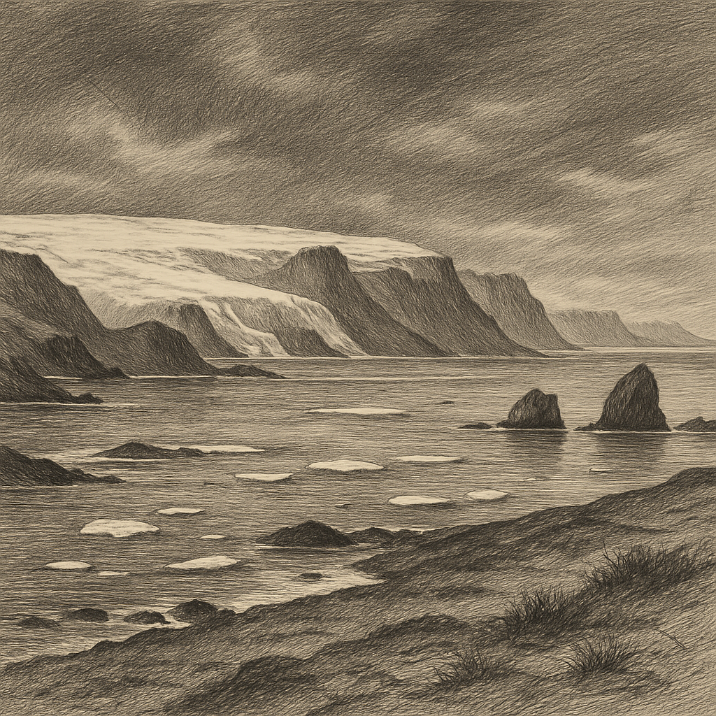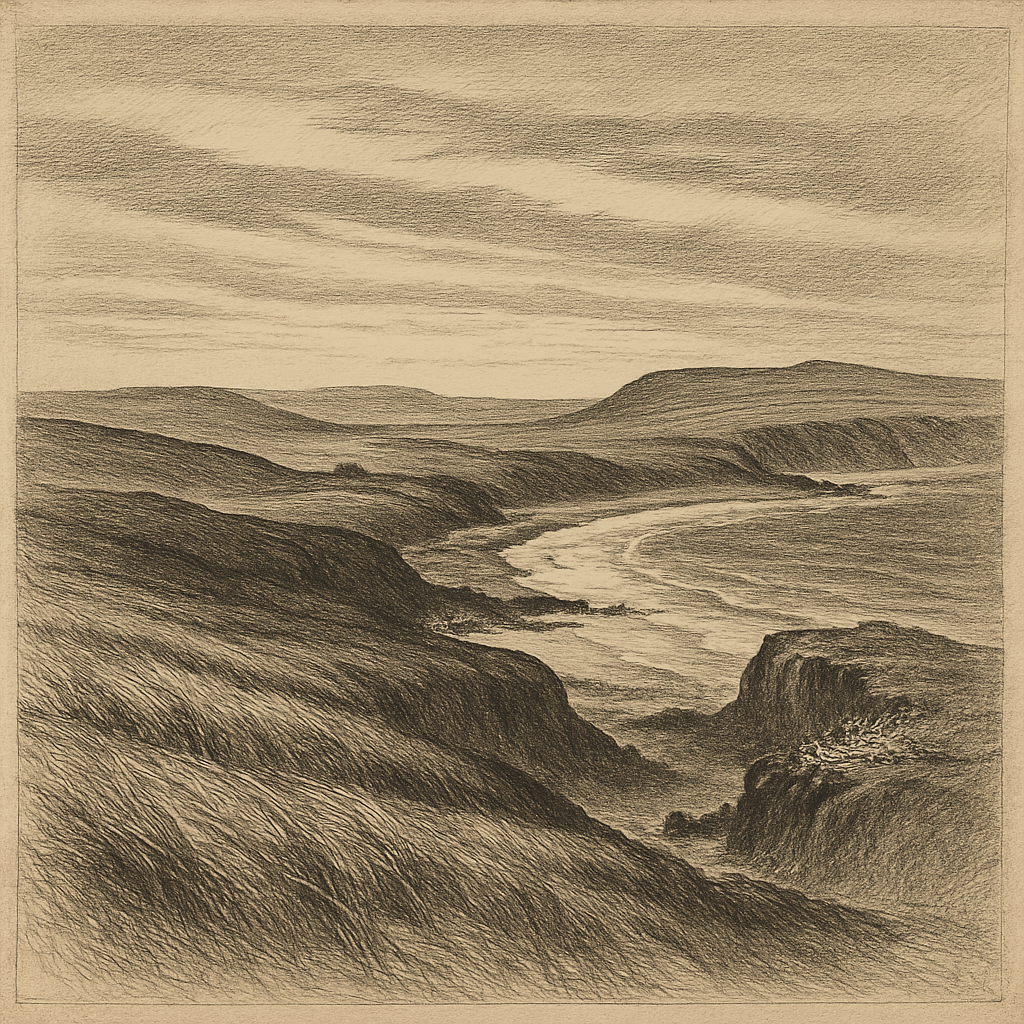
Few islands look so finished and so forsaken at once. Malden Island lies in the central Pacific, part of the Republic of Kiribati’s remote Line Islands, a low, triangular platform of raised coral and limestone set in a vast field of ocean. There are no mountains to announce it from afar, no permanent settlement, no harbor that invites easy arrival. What it offers instead is a strange severity: pale rock, sparse scrub, broken ground, and the sense that land has been left out here under a punishing sky for a very long time.
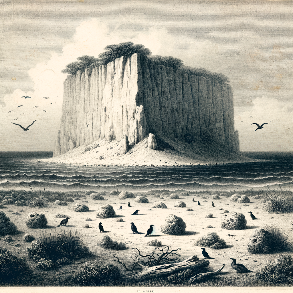
Seen on a map, it appears isolated even by Pacific standards, more than 3,000 kilometers south of Hawaiʻi and far from the inhabited centers of Kiribati. On the ground, the isolation becomes physical. The island is roughly 39 square kilometers in area, flat to gently undulating, with cliffs in places along the shore and an interior marked by old reef limestone and shallow depressions. Rain is scarce. Fresh water is effectively absent. Vegetation survives in a dry, stunted form, enough to soften the stone in patches but not enough to disguise the island’s underlying bareness. The surrounding reef makes access difficult, and heavy surf often enforces the island’s natural refusal.
Ruins under the equatorial light
For all its apparent emptiness, this place carries the marks of repeated human attention. It was sighted by Europeans in the early nineteenth century and named after Lieutenant Charles Robert Malden of HMS Blonde, whose voyage in 1825 helped fix it in the record of British naval exploration. Yet the most intriguing traces on the island are older than that naming. Archaeologists have documented substantial prehistoric Polynesian remains, including marae-like stone structures and other features that point to a former settlement or ceremonial use. On an island so dry and resource-poor, those ruins are startling. They suggest a community that either endured conditions now hard to imagine or used the island in ways more specialized than ordinary habitation.
Why people came, how long they stayed, and why they left remain difficult questions. The island lacks the obvious ingredients for sustained life: dependable fresh water, rich soils, shelter. That tension is part of its fascination. The ruins do not romanticize the past; they sharpen the mystery of adaptation in one of the harsher corners of Polynesia. Modern researchers have treated the site as an important clue in the history of eastern Polynesian movement and settlement, precisely because it sits so awkwardly between human ambition and environmental limit.
In the nineteenth century another motive drew ships here: guano. Like several remote Pacific islands thick with seabird colonies, it became valuable as an industrial source of fertilizer. Mining operations scarred parts of the landscape and brought temporary labor and infrastructure to a place that could never comfortably support either. The boom did not last. Once the deposits were worked and the economics shifted, the island slipped back toward abandonment, though not before leaving the familiar signature of extractive frontiers: disturbance, debris, and a brief human presence out of proportion to the island’s size.
Bird ground, test ground
The island’s ecological importance has endured more steadily than its commercial one. It is known for large seabird populations and has been recognized as an Important Bird Area. Sooty terns, boobies, frigatebirds, and other oceanic species use the island’s open ground and cliffs for breeding and roosting. In a place with so little fresh water and almost no conventional comfort, birds have long been the most natural citizens. Their numbers once helped create the guano that drew industry; now they underscore the island’s role as a nesting station in a blue immensity of pelagic travel.
Its twentieth-century history added a darker layer. In 1957 and 1958, Britain conducted thermonuclear weapons tests in the region as part of Operation Grapple, and this island was among the sites affected by those trials. The tests did not turn it into a famous symbol in the way that Bikini or Christmas Island entered public memory, but they altered its story irrevocably. The language of military planning and strategic distance settled over a place already defined by remoteness. In the archive, one sees the old imperial habit of using faraway islands as if emptiness were permission.
Today it remains uninhabited and protected within the vast Phoenix Islands and Line Islands context of Kiribati’s ocean territories, with access restricted and visits uncommon. Much of what gives it power is this combination of evidence and silence: archaeological structures whose builders are long gone, industrial traces from the guano era, the cold administrative shadow of nuclear testing, and above all the recurring life of seabirds over dry coral ground. Nothing here is lush, and nothing here is casual.
A place that resists simplification
Some remote islands can be reduced to a single image—a beach, a volcano, a lonely station, a colony of animals. This one resists that narrowing. It is at once an archaeological puzzle, a relic of extractive commerce, a witness to the nuclear age, and a hard bright refuge for birds. Even its geology complicates first impressions: not an atoll in the classic ring shape, but an uplifted coral island, old reef raised into land and left exposed to sun, salt, and wind.
That exposure is the lasting impression. There are islands that feel hidden. This is not one of them. It feels uncovered, as if every century that touched it left something visible on the surface and then withdrew. In the central Pacific, where distance can erase all ordinary scale, such places become strangely exact. Stone, guano, ruins, birds, test history, reef: the elements do not blur together. They stand apart in the light, severe and undeniable, while the ocean around them keeps the rest of the world far beyond the horizon.