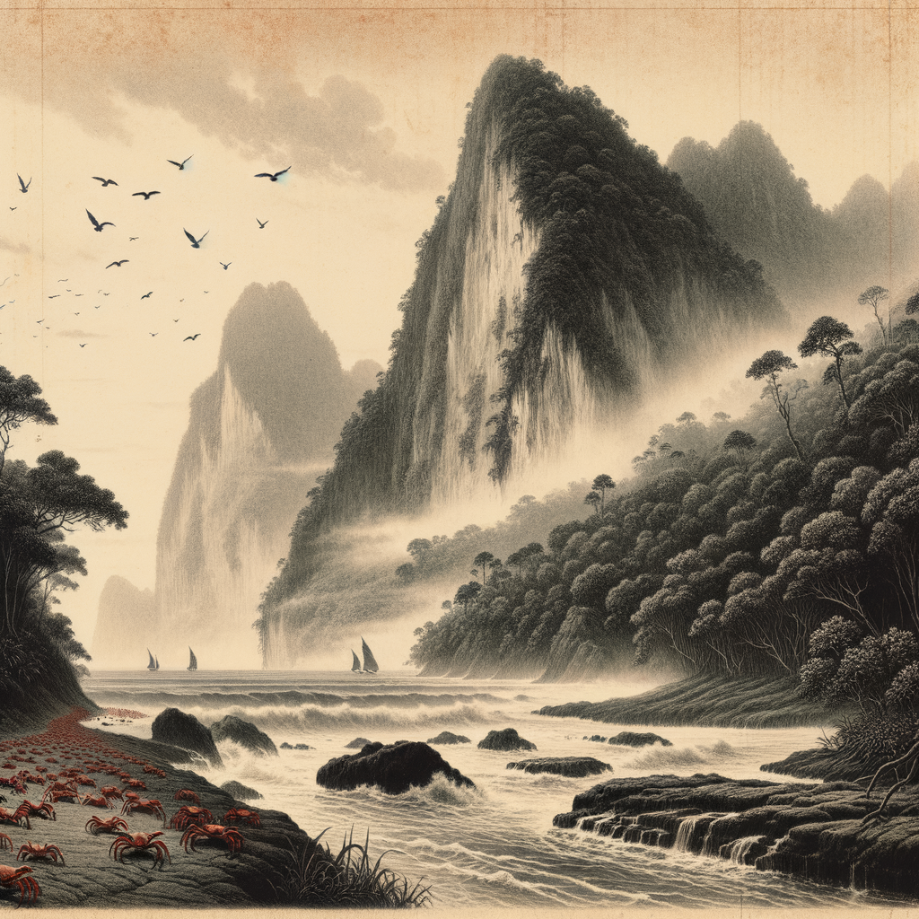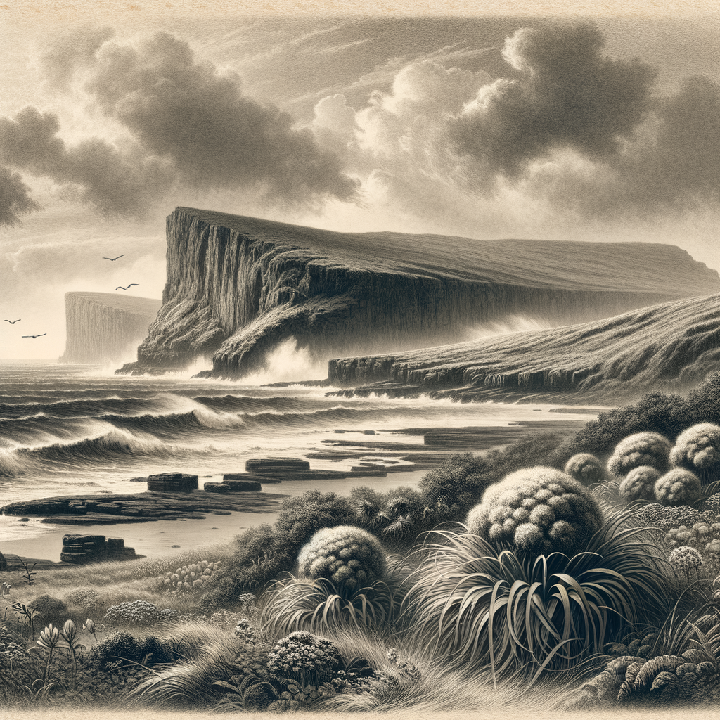
Few islands announce so clearly that they belong to birds, wind, and old seas rather than to people. Enderby Island lies at the northern edge of New Zealand’s subantarctic Auckland Islands, a small, low island facing the Southern Ocean with a kind of blunt exposure that gives it unusual force. It is not large, and it is not mountainous like some of its neighbors. Instead it spreads out in peat, coastal meadow, and megaherb fields above hard cliffs and beaches where surf and weather keep the terms of every arrival.
That relative openness is part of what makes the place so striking. Where much of the Auckland archipelago is cloaked in dense, dark rata forest, this island is better known for light and ground cover: swathes of grasses, herbfields, and the outsized flowering plants for which the New Zealand subantarctic is famous. In season, the vegetation can look improbably lush for a place set so far south, with giant Pleurophyllum leaves and other megaherbs rising from saturated soil under a sky that rarely settles for long. The climate is cool, wet, and windy throughout the year. Trees are scarce. Shelter is scarce. The horizon feels close and enormous at once.
Where the southern ocean leaves its mark
Geographically, the island is part of a remote chain about 465 kilometers south of New Zealand’s South Island, now protected within the Auckland Islands group, a nature reserve and part of a UNESCO World Heritage subantarctic area. The coast alternates between accessible inlets and abrupt sea-walls. Sandy beaches on the eastern side have made landings possible in calmer moments, but nothing here suggests ease. The ground is often waterlogged, and the weather can turn with unnerving speed.
Its scientific importance is out of proportion to its size. This is one of the last refuges of the Auckland Island teal, Anas aucklandica, a flightless duck once pushed to the edge by introduced predators elsewhere in the group. The island has also been central to the survival of the Auckland Island snipe, Coenocorypha aucklandica aucklandica, and it supports breeding colonies of yellow-eyed penguins, Megadyptes antipodes, New Zealand sea lions, Phocarctos hookeri, and numerous seabirds. Southern right whales, hunted close to extermination in the nineteenth century, are now again seen in these waters. In biological terms, this is not an empty margin at all; it is crowded, vocal, and consequential.
A shore remembered for loss
The human story is brief, but it is not slight. Like the wider Auckland Islands, this shore entered European records after the area was encountered in 1806 by Captain Abraham Bristow. In the decades that followed, sealing and then whaling drew people south into waters that were profitable and punishing in equal measure. Temporary settlements appeared in the archipelago during the nineteenth century, and ships came to grief with grim regularity.
The most haunting chapter attached to this island is the wreck of the Derry Castle in 1887. The iron barque, traveling from Australia to Britain, struck the coast here in bad weather. Most of those aboard died; only a handful survived. Their ordeal became part of the larger, bleak reputation of the Auckland Islands as “shipwreck islands,” where castaways could remain marooned for months before rescue. In response to repeated disasters, New Zealand authorities established castaway depots in the subantarctic islands, stocking them with food, clothing, tools, and boats in the hope that survivors might find them. The existence of such depots says much about the latitude: rescue could never be assumed, only prepared for.
There was also an attempt at settlement in the wider Auckland group at Hardwicke in the mid-nineteenth century, a project that quickly failed. Farming, permanence, ordinary domestic continuity—these ideas proved unequal to the climate and isolation. Human use here has usually been extractive, accidental, or temporary. The island’s strongest continuity lies elsewhere.
After people, recovery
That continuity was badly damaged before it was protected. Introduced animals transformed subantarctic ecosystems across the Auckland group, and Enderby was no exception. Cattle, rabbits, and especially mice altered vegetation and preyed upon invertebrates and birds. The difference in recent decades is that restoration has been deliberate and unusually successful. New Zealand’s eradication programs removed introduced mammals from the island, allowing native species and plant communities to recover with a speed that surprised even some specialists. What visitors encounter now is not untouched nature in the romantic sense, but something rarer: a damaged place given the chance to become itself again.
That recovery is visible in the details. Ground-nesting birds persist where they once would have been impossible. Sea lions haul out on beaches where almost no one walks. The island’s open country, once further stressed by grazing, now carries the botanical extravagance of the subantarctic summer. For ecologists, it is a living laboratory of resilience. For everyone else, it is a reminder that remoteness does not guarantee safety; protection had to be active, late, and hard won.
What lingers most powerfully is the combination of exposure and abundance. The place has none of the tropical island vocabulary—no palms, no lagoon, no bright invitation—yet it exerts a sharper fascination. Here, at the edge of the New Zealand region and deep in the wind tracks of the south, a small island gathers together wreck history, conservation triumph, and a wildlife spectacle that depends on distance from us. It remains uninhabited, visited mainly by scientists, authorized expedition cruises, and the weather itself, which still arrives as the oldest resident of all.