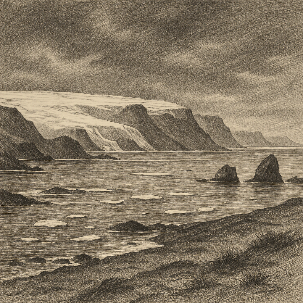
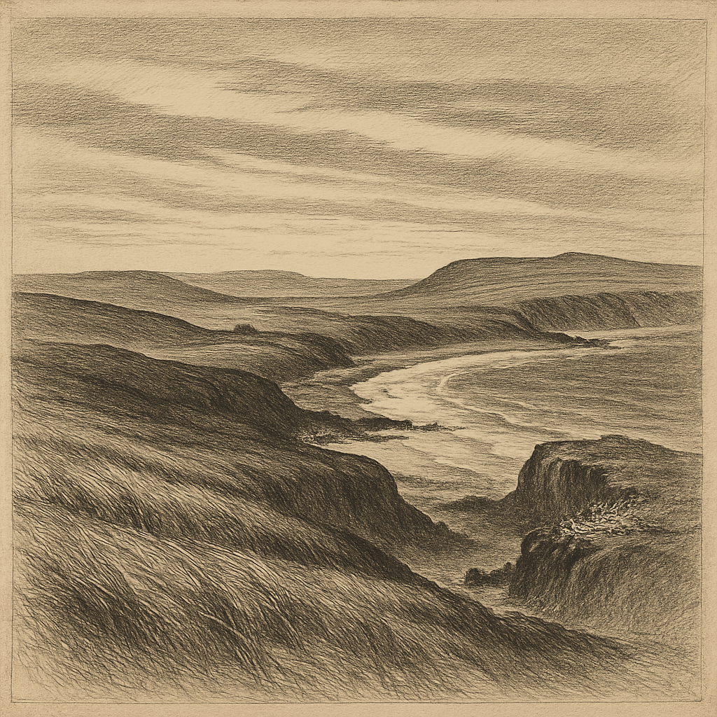
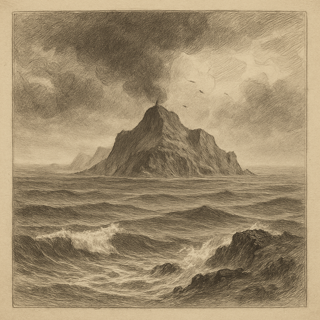
Out in the northwest Atlantic, where fog can erase the horizon and storms arrive with almost theatrical force, there lies a ribbon of sand so narrow and low that it seems less an island than a hesitation in the sea. Sable Island, about 300 kilometres southeast of Nova Scotia, is famous for looking temporary and proving stubbornly enduring. It is long, crescent-shaped, and built almost entirely of sand, with dunes, marram grass, freshwater ponds, and beaches that shift under the pressure of wind and tide. From above it resembles a pale brushstroke. Up close it feels exposed, unstable, and oddly self-contained, a place made by motion and threatened by it at every hour.
The geography is not merely dramatic; it governs everything. Roughly 42 kilometres long and rarely more than 1.5 kilometres wide, the island sits on the edge of the continental shelf amid the shallow, treacherous waters of Sable Island Bank. Sandbars extend outward like concealed traps. Currents meet here, weather changes quickly, and visibility can collapse into mist. For centuries mariners knew this place less as a destination than as a hazard. Its low profile made it difficult to see until too late, and its surrounding shoals helped earn it the grim title “Graveyard of the Atlantic.” Hundreds of shipwrecks have been recorded in its vicinity, though the exact number varies by source and many losses predate precise documentation.
Where the sea kept the records
European awareness of the island reaches back at least to the early 16th century. The Portuguese explorer João Álvares Fagundes is often associated with its early naming, and by the late 1500s it was known well enough to appear in accounts of Atlantic navigation. Yet knowledge did not make the place safer. Wreck followed wreck, and with them came rescue attempts, salvage, and occasional schemes for settlement. In 1801, the Nova Scotia government established a lifesaving station there, a practical acknowledgment that ships would continue to be lost. Patrols searched for survivors; later, horses were used to help crews move across the sand.
Human occupation never became ordinary. There were periods of small-scale habitation by station staff, their families, and scientific personnel, but never a town in the usual sense. Isolation, shifting terrain, and relentless weather discouraged permanence. What remains instead is a history of watchfulness: meteorological observation, lifesaving work, and scientific study. A notable modern chapter began in the 20th century as the island became important for weather monitoring and biological research. In 2013 it was designated Sable Island National Park Reserve, managed by Parks Canada, with strict protections reflecting both its ecological importance and its vulnerability.
Animals in a moving landscape
The most celebrated residents are the horses. Their origins are debated in detail, but they have been on the island for centuries, likely descended from animals brought during colonial-era attempts at use and settlement. Today they live ferally, protected from interference, moving through the dunes in small bands with an appearance so fitting to the place that they can seem almost imagined in the fog. They are not the only life adapted to this shifting margin. The island hosts one of the world’s largest breeding colonies of grey seals, Halichoerus grypus, whose numbers swell dramatically during pupping season. Birdlife is equally important: it has long been recognized as a significant site for migratory and breeding birds, including Ipswich sparrows, Passerculus sandwichensis princeps, a pale coastal subspecies that breeds almost exclusively there.
Fresh water, unexpectedly, helps sustain this life. Rain collects in shallow ponds and lenses of groundwater above saltier layers beneath the sand. Vegetation binds parts of the dunes, though never securely enough to stop change. The island migrates and reshapes itself over time; storms cut through it, rebuild berms, open pools, and redraw shorelines. Even the horses and the station buildings exist at the mercy of a landform that is fundamentally mobile. That mobility is part of what makes the place scientifically valuable: it is a living laboratory of coastal processes, barrier-island dynamics, and ecological adaptation at the edge of survivability.
The island that disappears and remains
Its reputation has always balanced between fact and atmosphere. Sailors feared the shoals for reasons no legend needed to embellish. Accounts of wrecks, surf, and rescue in winter darkness supplied all the drama required. The island’s eerie force comes not from mythic invention but from a simple conjunction of realities: it is hard to see, easy to strike, and difficult to leave behind in memory. Fog wraps the dunes; wind combs the grass flat; the sea keeps advancing and withdrawing as if testing whether the land still deserves to exist.
Access remains tightly controlled, and that limitation feels appropriate. Some places lose their power when made easy. This one still stands apart, not because it is untouched by history, but because history never fully settled there. Sand has outlasted every plan imposed on it. Horses graze where wreckage once drifted ashore. Seals crowd beaches that yesterday were somewhere else. Far from the mainland, on a thin line between persistence and erasure, the island endures as one of the Atlantic’s strangest facts: a place that looks impossibly fragile and has nevertheless become legendary by surviving exactly as it is.