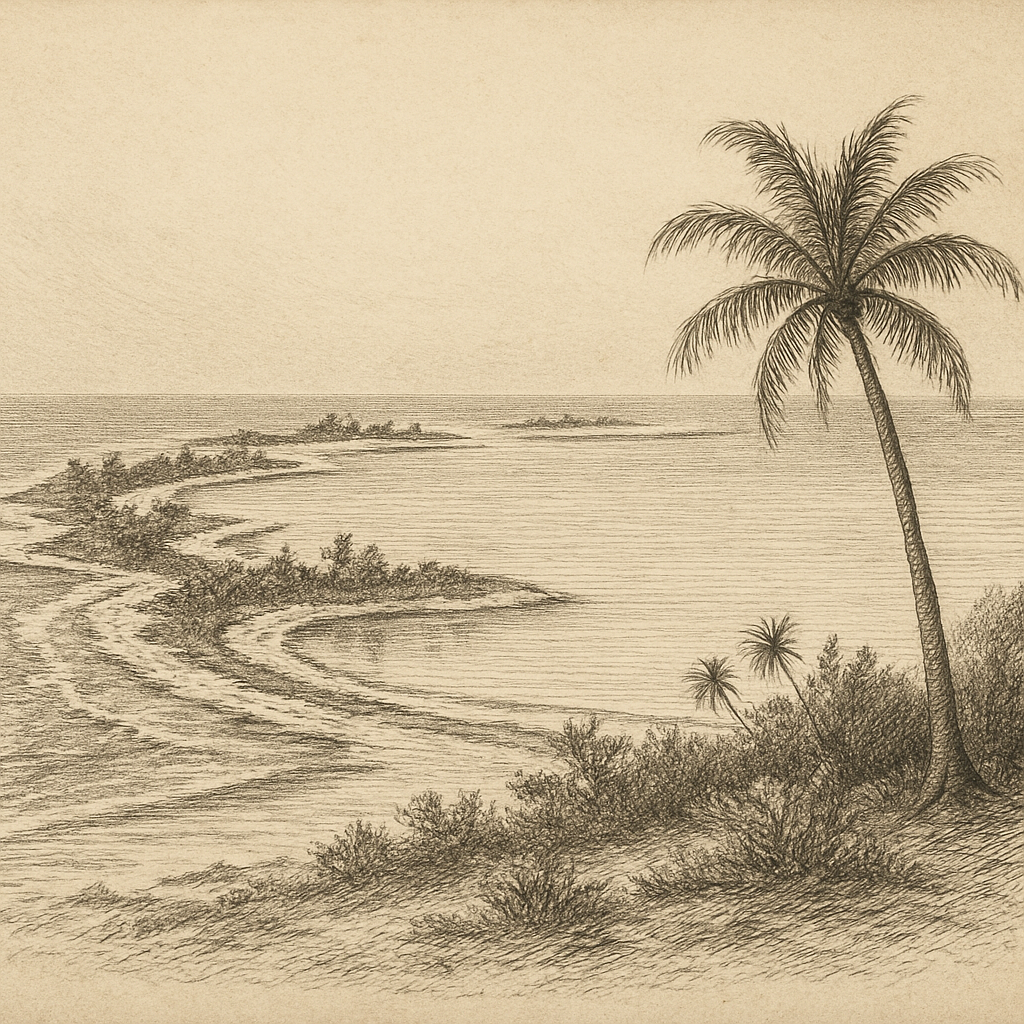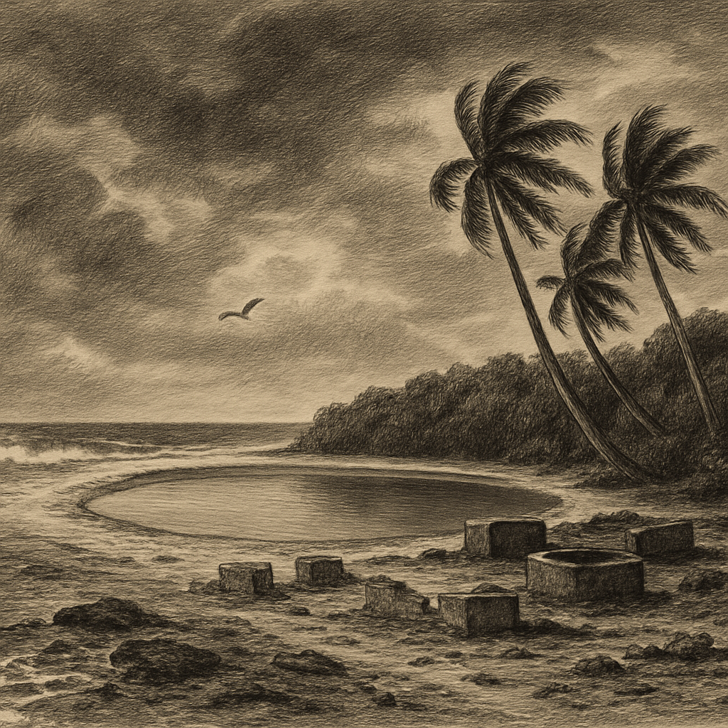
Names can drift far from the places they once marked, and few islands show that more clearly than Gardner Island, the low coral atoll now officially known as Nikumaroro in the Phoenix Islands of Kiribati. It lies deep in the central Pacific, roughly southeast of Howland Island, a narrow ring of land around a lagoon, remote even by the standards of remote archipelagos. From the air or on a chart, its shape looks spare and tidy. On the ground, it is harsher than that geometry suggests: reef flats exposed to surf, thickets of scaevola so dense they become a wall, coconut palms planted during a failed colonial venture, and a lagoon that is large but not reliably useful to people. Distance here is not an idea. It is the basic condition of the place.
A renamed atoll with an outsized afterlife
The atoll entered recorded European navigation in the early nineteenth century and was named after Sir Alan Gardner. Later, like the rest of the Phoenix group, it became entangled in imperial mapping, claims, and schemes of settlement. In 1938, as part of the British Phoenix Islands Settlement Scheme, colonists from the Gilbert Islands were brought here in an attempt to establish a permanent community and strengthen Britain’s position in the central Pacific. Wells were dug, paths were cut, a small village took shape, and coconut planting expanded across parts of the island. The effort was real and sustained, not a passing landing, but the atoll never ceased to be difficult. Rainfall was uncertain, supplies were far away, and the economics were fragile.
That settlement survived for some years, interrupted by war and then resumed, before finally being abandoned in 1963. What remains is not a romantic ruin in the usual sense. The traces are practical and austere: foundations, cisterns, scattered debris, the remains of colonial administration and village life. They sit in a landscape that has not forgotten people, yet has no use for them now. Coconut palms still indicate where labor once reorganized the vegetation. Elsewhere the island closes in again with scrub, birds, and salt.
The reef, the bones, the unanswered question
No feature has shaped the island’s modern reputation more than its association with the disappearance of Amelia Earhart and Fred Noonan in July 1937. The hypothesis is not proven, but it is serious enough to have drawn repeated, highly publicized expeditions. Earhart’s Lockheed Electra vanished while attempting to reach Howland Island, and one line of inquiry has argued that she may instead have landed on the reef flat here. The atoll’s broad western reef, dry at low tide and exposed to ocean swell, is one of the few details that gives the theory physical plausibility.
What keeps the question alive is not folklore but a chain of documented fragments. In 1940, British colonial officer Gerald Gallagher reported the discovery of partial human skeletal remains on the southeastern part of the atoll, along with a sextant box and other objects. The bones themselves were later lost after being examined in Fiji, and the original medical assessment did not identify them as female. Decades afterward, researchers revisited the measurements and argued that the remains could have been consistent with Earhart; others disputed the conclusion. Archaeological work on the island by The International Group for Historic Aircraft Recovery has recovered artifacts and produced argument, but not certainty. That unresolved status is part of the island’s charge. It is not a place with a solved mystery attached to it. It is a place where evidence remains partial, vulnerable, and contested.
Even without Earhart, the atoll would have a maritime eeriness. Reef islands are full of abrupt outcomes: a safe-looking line on the horizon, then coral, surf, and wreckage. Nikumaroro has seen shipwrecks, including the freighter Norwich City, which ran aground on the reef in 1929. The wreck became one of the island’s starkest landmarks for decades, and its rusting remains fed the sense that this was a place where modern machinery and open-ocean confidence could fail very quickly.
Life in the salt glare
What is striking today is how completely the atoll belongs to seabirds, crabs, and heat. It forms part of the Phoenix Islands Protected Area, one of the world’s largest marine protected areas, and both land and surrounding waters are recognized for their ecological importance. On shore, coconut crabs Birgus latro move through the undergrowth with prehistoric assurance. Green turtles Chelonia mydas nest on its beaches. Seabirds use the islets and scrub as breeding ground, while the surrounding reef and ocean support a rich tropical marine system shaped by isolation and, increasingly, by climate stress.
The island is also a measure of fragility. It rises only slightly above sea level. Fresh water is limited. Drought has always shadowed human plans here, and storm surge and erosion are constant realities for any low atoll in the Pacific. In the Phoenix group, El Niño cycles can bring dramatic ecological swings, affecting coral reefs and bird populations alike. This is not stable land in the continental sense; it is a thin biological and geological arrangement held together by coral growth, ocean conditions, and time.
Perhaps that is why the place lingers so strongly in the mind. Its human story is full of attempts to make something lasting on ground that resists permanence, while its natural history depends on exactly the kinds of cycles and exposures that unsettle human confidence. A vanished flight, a wreck on the reef, a settlement that could not hold, a new official name laid over an older one: each has altered how the atoll is seen, but none has made it less remote. Far out in the Phoenix Islands, the surf still breaks across the coral rim, the lagoon still lies inward and inaccessible-looking, and the old problem remains the same as ever—how little land is needed for a place to feel immeasurably far away.