A low edge of land offers little relief from the breadth of the South Pacific Ocean. Across the water, Tokelau has no mountain to announce it, only reef-bound islets enclosing lagoons beneath the open sky. From a distance, the separate shores can seem scarcely substantial enough to hold a settlement. Closer attention gives the scene depth: water outside the reef, narrow ground, and more water within. The attraction begins with that slight outline against the sea. For someone drawn to far shores, there is much to consider in land so low that the surrounding water remains a constant part of the view.
Tokelau is an archipelago of three atolls, rather than a single island: Atafu, Nukunonu, and Fakaofo. A non-self-governing territory within the Realm of New Zealand, it lies 480 km north of Samoa and has about 12 km² of land. Its hold on the imagination comes partly from that small extent, but also from the life sustained there. The narrow shores are inhabited places, with distinct communities separated by open water and linked within the same territory.
The reef before the shore
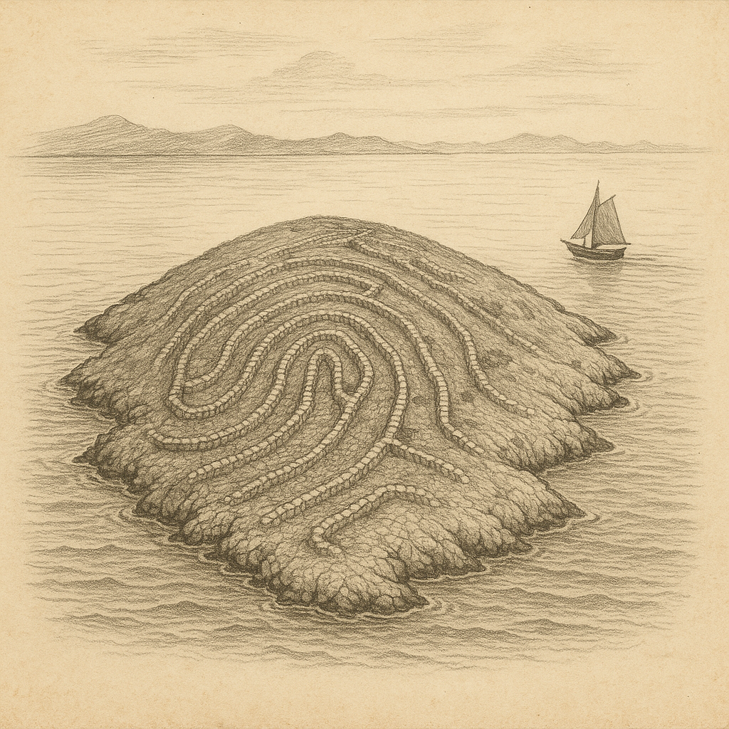
The land stays low. Nowhere does it rise more than 5 m above sea level, so an imagined approach must attend to the water as closely as the shore. Each atoll consists of islets, locally called motu, enclosed by a reef around a lagoon. The distinction matters to the eye: the outer sea, the reef, the separate pieces of land, and the water behind them. An atoll has no continuous inland mass filling its outline. Between its islets, water remains visible, and the lagoon occupies much of what a distant glance might take for the island itself.
At the northern end lies Atafu Island, with Nukunonu and Fakaofo farther south. Seeing their names together on a chart can conceal the open water between them. Their shared territorial name does not join their shores. The same interest in reef-bound land may draw attention onward to Nikumaroro, yet Tokelau itself requires time over each separate outline. A view of Atafu cannot stand for a view of Fakaofo. Each has its own enclosing reef and lagoon, and each must be understood as a place apart before the archipelago can be pictured as a whole.
Rain over the narrow ground
Rain belongs in any sustained picture of these atolls. Much of the annual rainfall comes between October and March, while the climate remains warm. On such low land, weather cannot be pictured against a distant mountain range or an inland valley; the scene stays close to reef, lagoon, and sky. Rain falls across both shores. The water darkens beneath a cloud, and the distinction between sea and sky becomes harder to follow through falling rain. Any account confined to clear water and fair light leaves out this wet season, when the same narrow ground lies beneath a different sky.
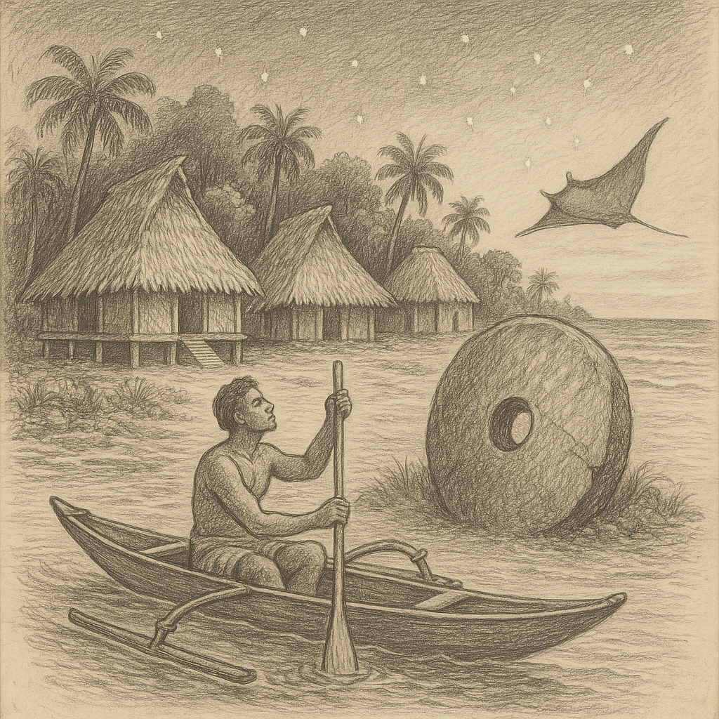
Archaeological evidence places settlement approximately 1,000 years ago. The people who first crossed the water to these atolls belong at the beginning of a long inhabited history, though the available account supplies neither their first words nor the details of their landings. Oral histories describe atolls that were largely independent while retaining social and linguistic cohesion. Separate communities maintained those connections across the intervening sea. Their history requires attention to both the water dividing the atolls and the language and social ties shared across it. The old settlements were distinct, even within the small extent of the archipelago.
Birds across the lagoon
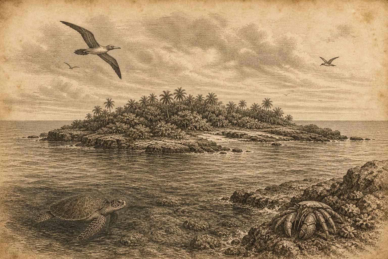
The human shore is also a breeding place. Red-footed boobies (Sula sula) have colonies on all three atolls, while brown boobies (Sula leucogaster) nest on Atafu and Nukunonu. Above the lagoon, birds give movement to a view otherwise dominated by low land and water. Their breeding places bring attention back to the islets, where the ground has uses that a chart cannot show. A reef outline marks neither a colony nor a nest. Looking closely means allowing these small occupied places their proper weight within the broad view of sea, and recognizing that the shore supports more than its human settlements.
Other birds connect the atolls with much farther shores. Tokelau is a northern wintering ground for bristle-thighed curlews (Numenius tahitensis) that breed in Alaska. The distance reaches beyond the surrounding Pacific. Yet the birds winter on these small islets, bringing that distant connection to a particular stretch of ground. Coconut crabs (Birgus latro) are common and widespread, and green turtles (Chelonia mydas) are among the reptiles documented here. Attention shifts from the sky toward the land and water at close range. The atolls become more distinct through these animals, whose presence gives substance to an outline easily overlooked on a map.
Schools beside the ocean
Each atoll has a school, and Tokelauans are New Zealand citizens. An undersea internet cable connection was completed in late 2023, adding a connection beyond the surrounding water. The schools occupy separate atolls. Education belongs to each inhabited shore, while the General Fono serves as the national legislative body for the territory. These details give the present a place beside the older history of settlement. Tokelau’s relationship with New Zealand is part of everyday public life, as real as the separation of the atolls themselves. The reef encloses a lagoon; it does not enclose all the connections of the people living beside it.
At an imagined departure, the low edge of land gradually loses its detail. The lagoon becomes harder to distinguish from the water beyond, and the separate islets draw together in the distant view. For the lover of far places, the pull remains in that small visible extent of ground, now understood as more than an outline. Distance makes the shore difficult to see without making it empty. As the land recedes, the eye has fewer features to hold: the pale water over the reef, the darker water outside it, and the last low strip between lagoon and sea.
Quick facts
- Location: South Pacific Ocean, between 8° and 10° S and 171° and 173° W; Samoa lies 480 km south.
- Area: About 12 km²; published land-area figures range from 10.8 to 12.2 km².
- Highest point: Land rises no more than 5 m above sea level.
- Status: Non-self-governing territory within the Realm of New Zealand; comprises Atafu, Nukunonu, and Fakaofo.
- Population: The United Nations working paper gives conflicting totals of 1,460 and 1,485 for the 2022 census survey, without reconciling them.
- Wildlife/Protection: Red-footed booby breeding colonies on all three atolls; wintering ground for Alaskan-breeding bristle-thighed curlews.
Sources
- Government of Tokelau: About Tokelau
- Government of Tokelau: Geography
- Government of Tokelau: History
- New Zealand Ministry of Foreign Affairs and Trade: Tokelau
- United Nations (2025): Tokelau: Working paper prepared by the Secretariat, A/AC.109/2025/14
- SPREP / Pacific Regional Invasive Species Management Support Service (2024): Tokelau Kimoa/Rat, Feral Pig and Feral Cat Eradication Feasibility Assessment