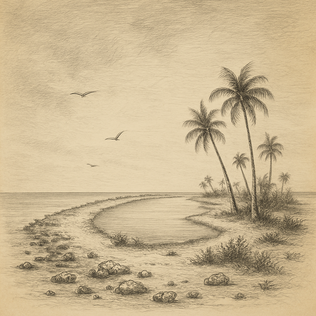
From the sea, Tromelin Island shows almost nothing of itself: a pale strip of sand and low scrub, barely seven meters above the surf, with water some 4,000 meters deep on every side. Île Tromelin, as France calls it, lies alone in the western Indian Ocean, about 560 kilometers north of Réunion and roughly 450 kilometers east of Madagascar. France administers it as one of the Scattered Islands of the French Southern and Antarctic Lands, together with Juan de Nova Island in the Mozambique Channel; Mauritius claims it. The island is about 1,600 meters long and 700 meters wide, close to one square kilometer in all, small enough to walk from end to end in under half an hour.
Its reputation does not rest on scenery. It rests on a shipwreck in 1761 and on what a group of enslaved Malagasy men and women did after the crew that had wrecked them sailed away. Four archaeological seasons since 2006 have turned their survival from an anecdote into a documented site, and the 250th anniversary of their rescue falls on 29 November 2026.
A low island in the path of cyclones
Tromelin is the emerged top of an old reef that probably grew on a volcanic shoal. Its rock is beach sandstone: sand, shell and coral cemented together. There is no lagoon and no harbor. Swell breaks straight onto the reef flats, piles dead coral on the exposed shore and pushes sand towards the opposite side, so the beaches change shape from season to season. The only anchorage, off the northwest, is poorly sheltered, and boats land through the surf. Since 1954 an airstrip of about 1,200 meters has been the island’s practical link with the outside world.
Weather is the other defining fact. South-east trade winds blow for most of the year at 15 to 35 kilometers per hour, monthly mean temperatures stay between about 23.5 and 28 °C, and rainfall averages around 1,100 millimeters, nearly half of it between January and March. Cyclones pass often enough to have earned it the nickname l’île aux cyclones, and storm swell can wash over parts of the island. Most of the surface is low scrub of octopus bush, Heliotropium foertherianum, and purslane, Portulaca oleracea, combed flat by the wind.
The wreck of the Utile
The island entered the record on 11 August 1722, when Jean-Marie Briand de la Feuillée of the frigate Diane sighted it and named it Île de Sable, the Isle of Sand. For four decades it was little more than a hazard on French charts. On the night of 31 July 1761 the Utile, a ship of the French East India Company, struck its reef after a navigational error between two conflicting charts. On board were about 160 Malagasy people embarked in Madagascar to be sold as slaves on Île de France, today’s Mauritius, in breach of a ban on the trade issued by the colony’s own governor.
Many of the captives, shut below deck, drowned. About 60 reached the shore with the crew. The sailors salvaged timber, food and tools, dug a well and built a boat from the wreckage. On 27 September 1761 the 122 French sailors left in it, promising to send help for those left behind. In Mauritius the governor refused to spare a ship while France was fighting the Seven Years’ War, and the promise lapsed.
Fifteen years and one fire
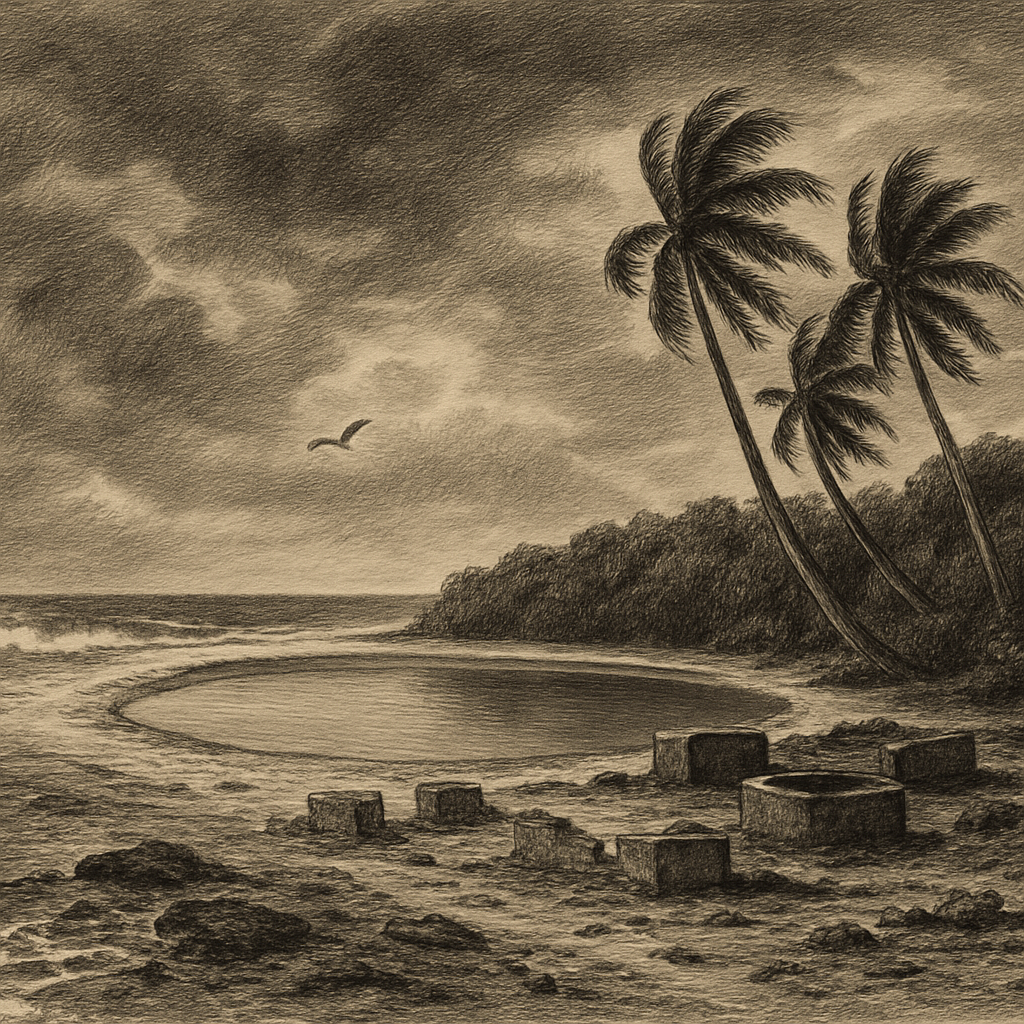
The island had no trees, so the castaways kept a single fire burning for fifteen years with wood from the wreck. They lived on turtles, seabirds and fish, drank brackish water from the well, and built shelters of coral blocks and beach sandstone grouped around a central courtyard. According to the archaeologist Max Guérout, building in stone broke a Malagasy custom that reserved stone for tombs. Excavations led by Guérout’s naval archaeology group GRAN, with the French preventive archaeology institute Inrap, took place in 2006, 2008, 2010 and 2013. They recovered copper vessels mended again and again, tools, and flints for relighting the fire: the remains of an organized settlement rather than a desperate camp.
Ships came twice in the 1770s and could not land. A sailor who swam ashore during one attempt was stranded with the survivors and later set off on a raft with three men and three women; none of them was seen again. On 29 November 1776 Jacques-Marie Boudin de Tromelin, commanding the corvette Dauphine, finally got a boat through the surf and took off the last eight survivors, seven women and an eight-month-old child. The island has carried his name since. In 1781 the philosopher Condorcet cited the episode in his Reflections on Negro Slavery, an early case for abolition.
Boobies, turtles and a weather station
Today the island matters most to wildlife. Green turtles, Chelonia mydas, nest on its beaches, about 1,000 females a year according to the territory’s administration. Rats brought ashore by shipwrecks had devastated the seabird colonies, and when an eradication began in 2005 only two species still bred there, masked and red-footed boobies. A long-term study published in 2024 found that 17 years later, without further intervention, the island held seven breeding species and 4,758 breeding pairs, up from 353. BirdLife International lists Tromelin as an Important Bird Area, and its masked boobies belong to the western Indian Ocean subspecies Sula dactylatra melanops.
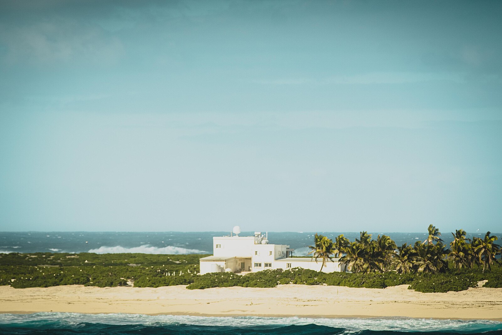
People are few and temporary. The weather station that France built in 1954 still issues cyclone warnings for the region, and staff of the French Southern and Antarctic Lands rotate on the island on supply missions from Réunion. The sovereignty dispute with Mauritius remains open: an agreement on joint management was signed in 2010 but never ratified, even as Britain agreed in 2024 to hand the Chagos Archipelago, home of Diego Garcia, to Mauritius. Around the island lies an exclusive economic zone of roughly 280,000 square kilometers, out of all proportion to the sand that anchors it.
Seen from a ship, Tromelin still looks much as Briand de la Feuillée found it: an almond of sand and scrub with surf on every side. What has changed is the record. The coral walls have been mapped, the finds have toured museums in France, Réunion and Martinique, and the territory’s administration announced a commemoration on the island for 12 September 2026, ahead of the anniversary. For fifteen years the castaways kept a lookout on the highest point of the island, watching for a ship. Most of their names were lost, but the place where they waited has become a documented chapter in the history of the Indian Ocean slave trade.
Quick facts
- Location: western Indian Ocean, 15°53′S 54°31′E; about 560 km north of Réunion and 450 km east of Madagascar
- Area: about 1 km² (roughly 1,600 m × 700 m)
- Highest point: about 7 m
- Status: administered by France as part of the Scattered Islands (French Southern and Antarctic Lands); claimed by Mauritius
- Population: no permanent residents; rotating staff at the weather station
- Access: airstrip of about 1,200 m; no harbor, landings through surf
- Wildlife: green turtle nesting beaches; Important Bird Area (BirdLife International)
Sources
- Terres australes et antarctiques françaises: Les îles Éparses – l’île Tromelin (size, climate, turtles, distances)
- Terres australes et antarctiques françaises (2022): Le 11 août 2022 marque les 300 ans de la découverte de Tromelin
- Terres australes et antarctiques françaises (2026): À Tromelin, 250 ans après le sauvetage des naufragés de L’Utile
- Guérout, M. (2015): Tromelin, mémoire d’une île, CNRS Éditions
- Saunier, M. et al. (2024): Long-term monitoring highlights the positive responses of the seabird community to rat eradication at Tromelin Island, Western Indian Ocean, Conservation Science and Practice
- Tromelin Island, Wikipedia (overview, sovereignty, airstrip)