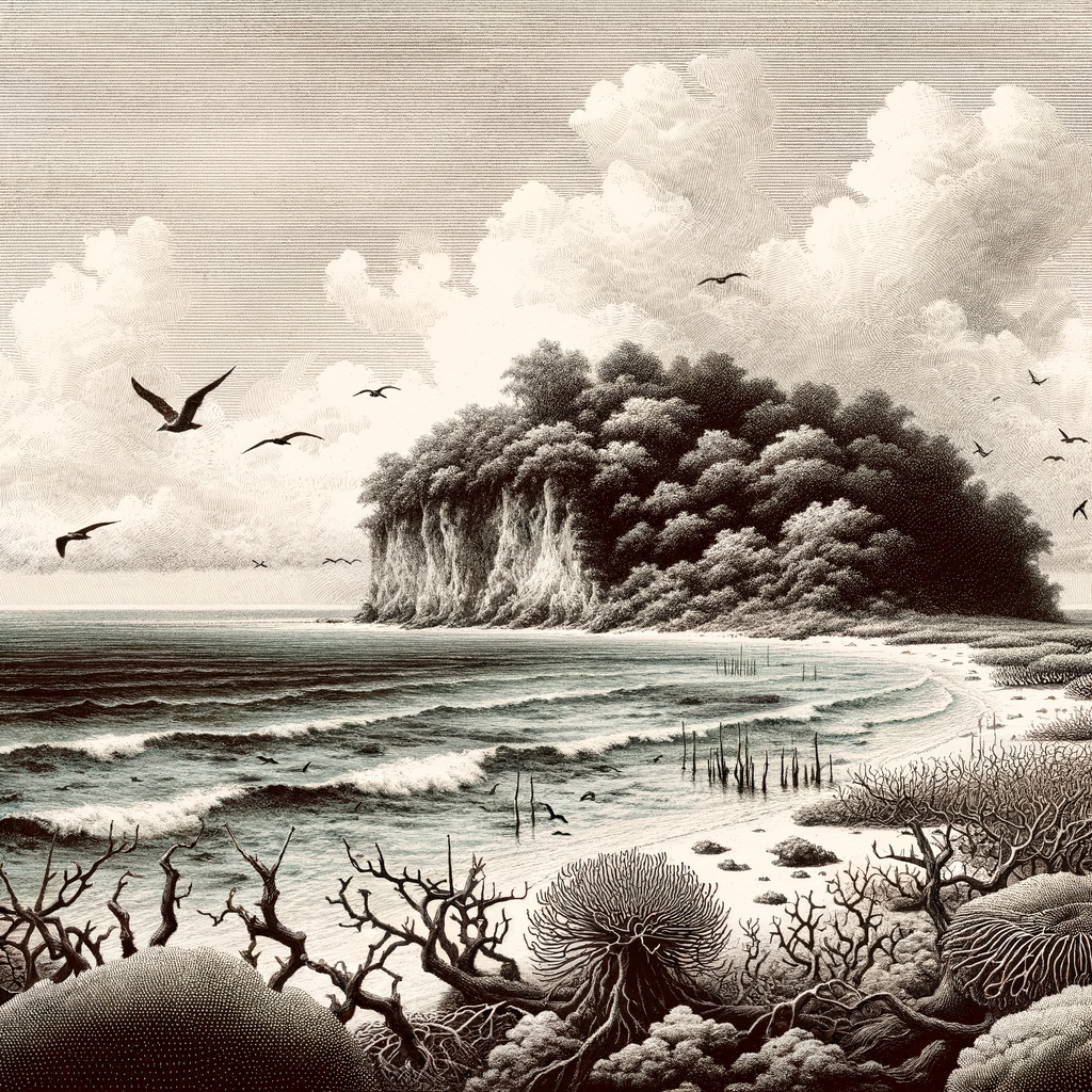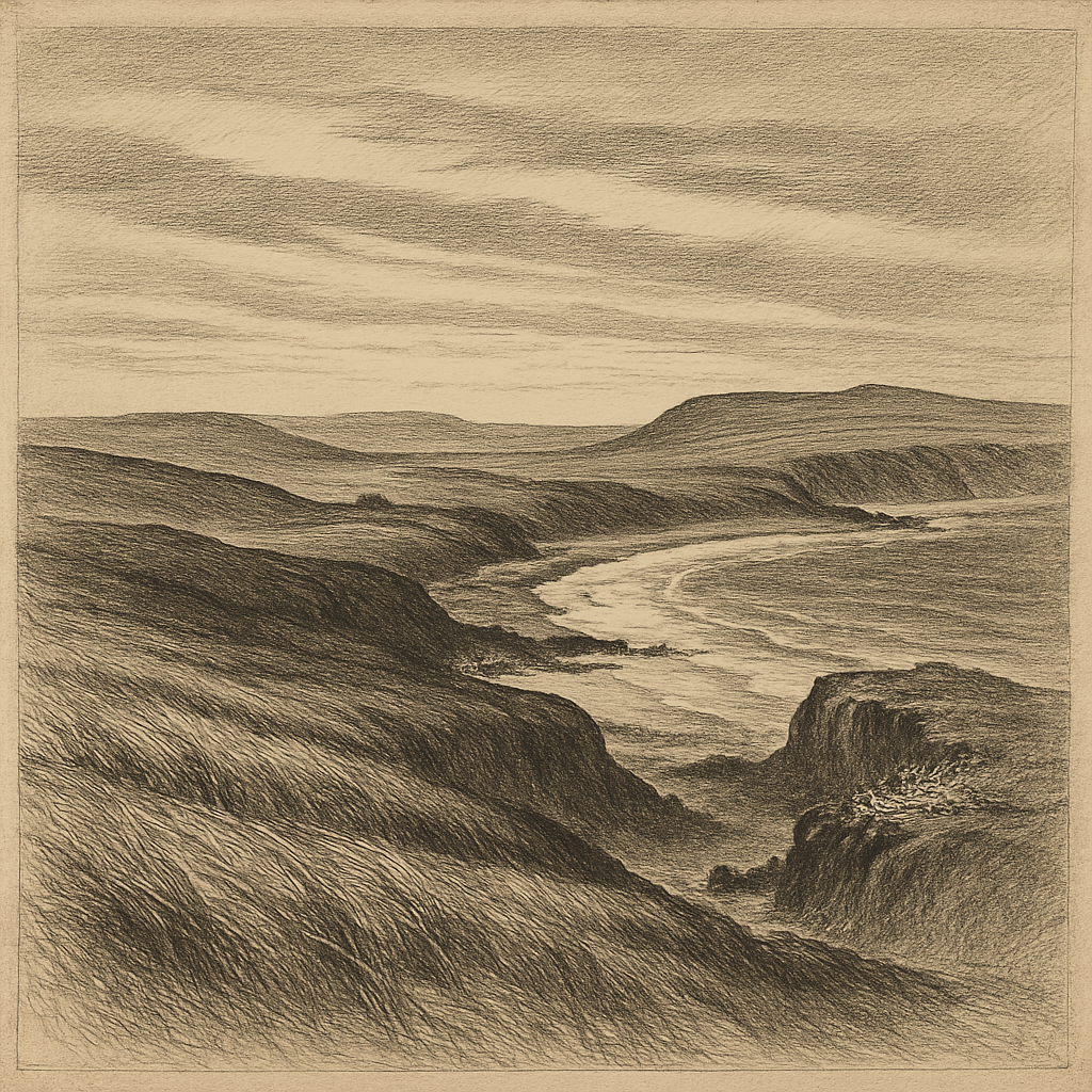
Wind is the first real architect here. It combs the long grass into pale seams, presses low over dark hills, and reaches the shore in a confusion of surf, kelp, and cold light. In the northwestern Falkland Islands, off the coast of West Falkland, Saunders Island feels both inhabited and withheld: a place with sheep pastures, a farmhouse, and an airstrip, yet also with headlands where the land seems to resume an older, less human order almost at once.
It is one of the larger islands in the Falklands group, known in Spanish as Isla Trinidad, and its shape gathers several landscapes into a comparatively compact space. There are beaches of brilliant white sand, cliffs that take the full force of the South Atlantic, inland slopes used for grazing, and high ground from which the weather can be watched advancing in long gray bands. The settlement is slight, never enough to soften the scale of the place. What defines it most is exposure: to wind, to sea, to a light that can turn from silver to hard blue within an hour.
Where settlement began, and mostly stayed small
The island holds a quiet distinction in Falklands history. In 1765 the British captain John Byron established Port Egmont on a small island just off its coast, in the same wider area that made this corner of the archipelago the scene of the first British settlement in the Falklands. That episode belongs to the larger imperial contest over these islands, involving Britain, Spain, and later Argentina, but on the ground the evidence is less grand than the history books imply. The traces are sparse, the distances modest yet difficult, and weather still dictates the rhythm more convincingly than politics.
European sealing and whaling moved through the South Atlantic world that shaped the islands, and sheep farming eventually became the main durable use of the land. Saunders remained a working island rather than a town-making one. Its population has stayed tiny, with only a handful of residents in modern times. That smallness matters. It means roads are few, structures are scattered, and much of the island is experienced not as a settled landscape but as a margin between one bay and the next, one rise and another, under incessant air.
The human story here is therefore not one of rise and ruin in the dramatic style of abandoned colonies. It is thinner, steadier, and in some ways stranger: endurance without expansion. A sheep farm can persist for generations while the surrounding slopes still look almost unclaimed. The result is an island where history survives not in dense remains but in proportion, in the scale of what people did not alter.
Bird colonies under a moving sky
If the place is widely known now, it is above all for wildlife. Few islands in the South Atlantic offer such immediate access to several iconic seabirds in one sweep of coast. Gentoo penguins (Pygoscelis papua), king penguins (Aptenodytes patagonicus), Magellanic penguins (Spheniscus magellanicus), and southern rockhopper penguins (Eudyptes chrysocome) all occur here, an unusual concentration that draws biologists, photographers, and the occasional awestruck visitor prepared for rough conditions. Black-browed albatrosses (Thalassarche melanophris) breed on the cliffs, using ledges that seem, from below, impossibly narrow.
These colonies are not decorative features added to an already interesting island. They are central to its atmosphere. A rookery changes the character of a shore completely: the noise carries before the birds come into view; the smell of guano rises in the wind; paths are etched into turf by generations of movement. Rockhoppers leap through boulder fields with comic abruptness, while albatrosses launch into air that appears to catch them before they have fully committed. On calm days the scene can look almost ceremonial. In stronger weather it becomes an exercise in precision and endurance.
The surrounding waters also support marine life typical of the productive Falklands shelf, and the island’s plant cover, though often described simply as grassland, is part of a windswept ecological mosaic shaped by salt, peat, grazing, and exposure. Nothing lush persists for long without being tested. Even beauty here has a braced quality.
A place that never stops facing outward
Because it remains privately owned and actively farmed, this is not an untouched island in the strict sense. Yet untouched is not the right measure. What matters is how little separates human use from elemental conditions. A fence line may run across a hill, but beyond it the same weather moves in from the ocean, and the same birds continue their old seasonal cycles. The farmhouse lights are real; so is the vastness pressing around them.
That tension gives the island its particular hold on memory. It is not empty enough to become abstract, nor busy enough to feel domesticated. The beaches gleam, the cliffs teem, the grass bows under another Atlantic gust, and every feature seems arranged along an old frontier between livelihood and exposure. Some remote islands impress by refusing people altogether. This one is more unsettling, and more memorable, because people stayed just enough to prove how large the place remains around them.