A shard in the narrows
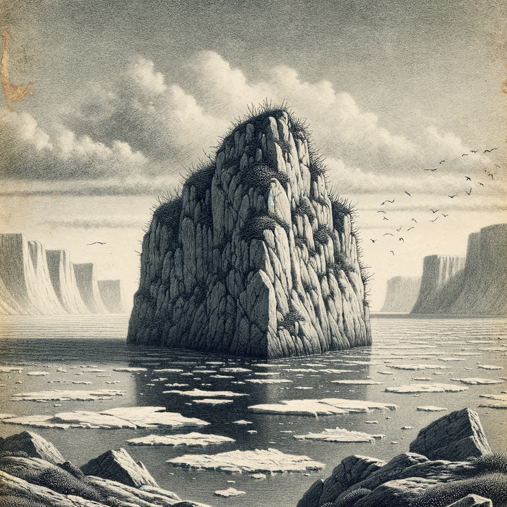
Few pieces of land have done so much with so little. Hans Island is a bare, rocky outcrop in the center of the Kennedy Channel, the narrow waterway between Ellesmere Island in Canada and Greenland, part of the strait system that links Baffin Bay with the Arctic Ocean. It is small—about 1.3 square kilometers—uninhabited, treeless, and for most of the year locked into a world of cold water, drifting ice, and severe light. Seen on a map, it looks almost incidental. Seen in context, it sits in one of the most exacting corridors in the High Arctic.
The island rises as a low limestone mass, its surface largely barren, with steep shores and a plateau-like top. There is no village, no harbor, no sheltered human corner to soften it. The nearest inhabited places are far away by ordinary standards and still distant by Arctic ones. To the west lies the Canadian Arctic Archipelago; to the east, Greenland. Between them, this rock occupied an oddly charged position: not because people lived there, but because almost nobody did.
That emptiness is part of the story. In the Arctic, where coastlines are fragmented and channels are hard to distinguish under ice and weather, even a modest island can matter. The Kennedy Channel is one of the routes associated with 19th-century exploration of the far north, including expeditions searching for Sir John Franklin. The island itself took its name from Hans Hendrik, the Greenlandic Inuit traveler and interpreter who joined several major polar expeditions in the mid-19th century, among them those led by Elisha Kent Kane, Isaac Israel Hayes, Charles Francis Hall, and George Nares. Naming the island after a man so essential to Arctic travel gives this austere place a faint human echo: not conquest, exactly, but skilled endurance.
Paper claims, cold visits
For decades, the island was best known not for what happened on it, but for what was said about it. Canada and Denmark—acting for Greenland while it was part of the Danish realm—disagreed over sovereignty after maritime boundary negotiations in the Nares Strait left this one point unresolved. The dispute was never a war in any serious sense, but it became famous for its symbolism. Officials, patrols, and occasional visitors from each side landed, raised flags, and sometimes left bottles for the next arrival: Canadian whisky, Danish schnapps. Journalists called it the “Whisky War,” a phrase almost comic against the starkness of the place, yet revealing in its own way. On an island with no residents, no infrastructure, and no agriculture, gestures became geopolitics.
The underlying issue was precise. When Canada and Denmark negotiated maritime boundaries in 1973, they drew a line through much of the strait, but sovereignty over this island remained unsettled. For years it stood as one of those rare disputes that were real, legally important, and outwardly restrained. No one could mistake the setting for anything gentle, yet diplomacy prevailed where grander places have failed. In June 2022, the two countries, together with Greenland’s government, agreed to divide the island roughly along a natural cleft, creating a land border between Canada and Greenland. It was an Arctic settlement in the plainest and most modern sense: surveyed, negotiated, and concluded without spectacle beyond the one the island had already acquired.
Nothing to spare, and nowhere to hide
Its physical life remains stricter than its political fame. There are no known permanent structures and no settled population. The climate is polar, with long winters, brief summers, and conditions shaped by sea ice, strong winds, and prolonged darkness or daylight depending on the season. Vegetation, where it exists, is sparse and low, limited by cold, exposure, and thin soils. The island belongs to that High Arctic category in which biology persists close to the ground and often out of immediate sight: lichens, mosses, and hardy tundra plants rather than anything lush enough to alter the color of the stone for long.
Wildlife in the surrounding region is better documented than life on the rock itself. The waters of the Nares Strait are used by marine mammals including seals; polar bears, Ursus maritimus, occur in this broader High Arctic environment; seabirds move through the area in season. Yet the island’s most distinctive ecological feature may be its austerity. It offers little comfort, little cover, and little margin. In that sense it is not a miniature version of a richer Arctic landscape but a more concentrated one, stripped almost to geology and weather.
Perhaps that is why it lingers in the imagination. Many remote islands become memorable through ruins, colonies, or catastrophe. This one became memorable through scarcity: a scarcity of soil, of visitors, of usable land, even of narrative. What human history it has is intermittent and official—expeditions passing through, surveyors measuring, patrols landing, diplomats settling lines first argued on charts.
After the agreement
Now that the dispute is resolved, the island seems, if anything, more itself. The jokes about exchanged bottles survive in newspaper memory, but the deeper fascination lies elsewhere—in the way an exposed scrap of Arctic limestone could connect exploration history, Inuit expertise, modern sovereignty, and the discipline of peaceful negotiation. It remains unreachable for most people except as an idea, a pale interruption in a channel crowded with ice and history.
That may be the clearest way to see it: not as a prize, not as a destination, but as a place that forced distant states to acknowledge the hard exactness of the polar world. There, in a passage where the sea narrows and the map leaves no room for vagueness, the land is too small to offer shelter and too real to be ignored.