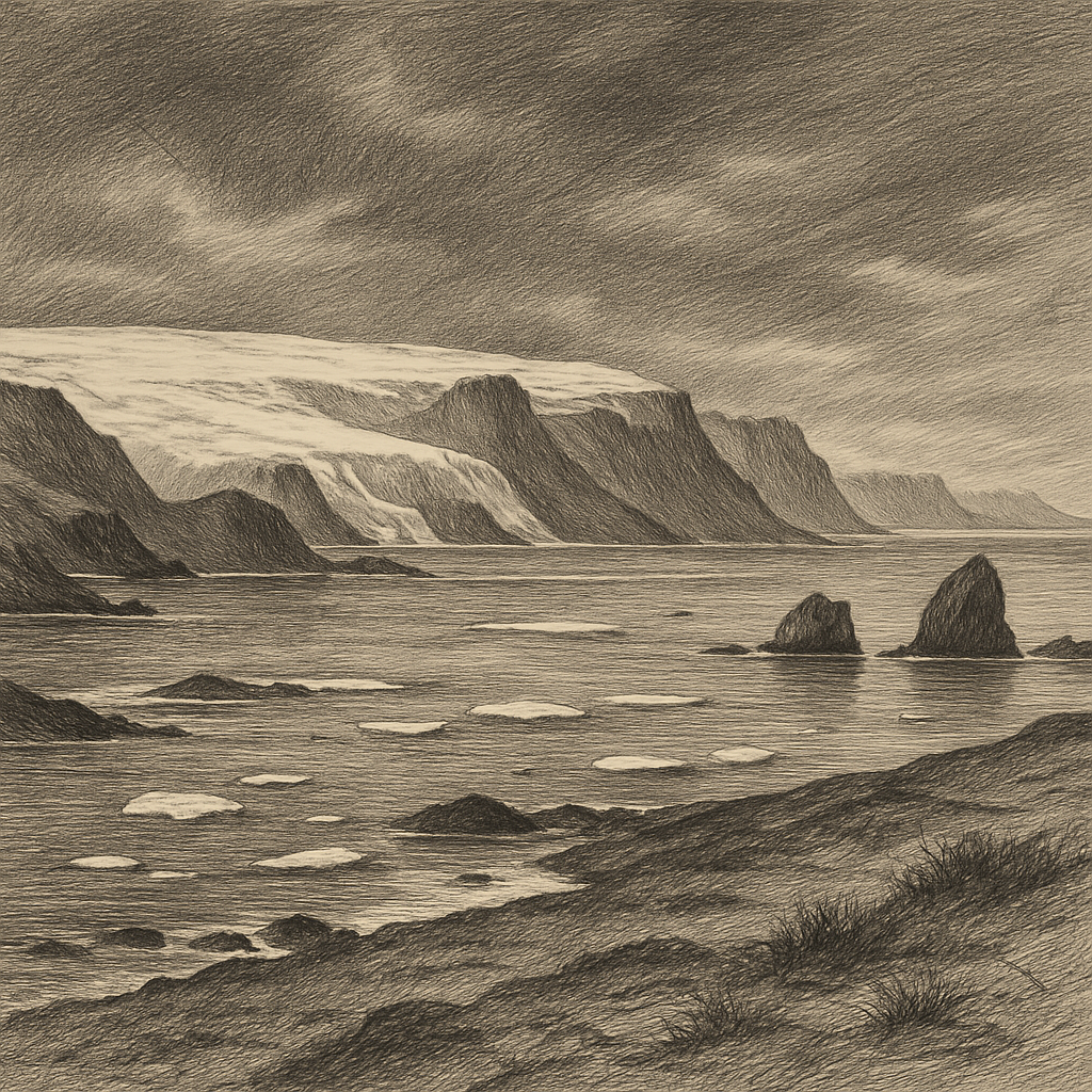
Measured not by cities or roads but by ice caps and drifting pack, October Revolution Island belongs to a scale of geography that unsettles ordinary ideas of land. It lies in the Russian High Arctic, the largest island of the Severnaya Zemlya archipelago, between the Kara Sea and the Laptev Sea, far north of Siberia. On a map it appears immense; in human terms it remains barely entered. Much of its surface is buried beneath ice, and even its exposed ground tends toward severity: broad headlands, dark rock, gravelly coastal strips, and a horizon repeatedly broken by glaciers descending toward the sea.
Its dimensions alone give it unusual weight. Covering roughly 14,000 square kilometers, it is among the larger islands of the Arctic Ocean, yet unlike many islands of that size it has no towns, no villages, and no permanent population. The interior is dominated by extensive ice caps, among them the Vavilov Ice Cap, whose recent acceleration and ice loss have drawn scientific attention as one of the more striking examples of rapid glaciological change in the Russian Arctic. Around those frozen uplands, the coast opens into bays and fjord-like inlets, with capes and offshore islands marking a shoreline too irregular to feel abstract. This is not blank white space. It is a complicated, wind-worked piece of polar terrain.
Seen late, named loudly
For all its size, the island entered documented geography surprisingly late. Severnaya Zemlya itself was only confirmed in the twentieth century, during the final period of major Arctic mapping. In 1913 the Russian Hydrographic Expedition of the Arctic Ocean, led by Boris Vilkitsky, identified the archipelago from the icebreaker vessels Taymyr and Vaygach. At first it was treated as a single great landmass and named Emperor Nicholas II Land. The fuller outline emerged in the 1930s, when the Soviet expedition of Georgy Ushakov, Nikolay Urvantsev, Vasily Khodov, and Sergey Zhuravlev carried out the first comprehensive survey of the archipelago from 1930 to 1932. Their work established the principal islands and gave this one the name it still bears.
That naming fixes a political era onto an environment almost indifferent to politics. The revolutionary language is emphatic; the place itself is reticent. Here the human record is made mostly of surveying, meteorology, geology, and the logistics of survival. There have been polar stations elsewhere in Severnaya Zemlya at different times, but this island has remained overwhelmingly uninhabited, visited by scientists, explorers, and support crews rather than settlers. Even in the age of satellites, it keeps some of the emotional force that once belonged to unmapped land: not mystery in the mythical sense, but the harder kind produced by distance, weather, and rarity of presence.
A coast written in ice
The most defining fact is glaciation. A substantial part of the island is covered by ice, and its outlet glaciers shape both the scenery and the practical reality of movement. The climate is high Arctic, with long winters, severe cold, and a short summer in which thaw reaches the margins more than the core. Permafrost underlies the ground. Snow can linger even where bare stone appears. Sea ice has historically locked the surrounding waters for much of the year, helping explain why the archipelago remained unknown for so long despite lying along the northern edge of Eurasia.
Yet life persists in the narrow biological openings available. In coastal sectors and ice-free patches, polar desert and tundra communities support mosses, lichens, and sparse flowering plants adapted to cold and wind. The surrounding seas and coasts belong to the range of characteristic Arctic wildlife. Polar bears, Ursus maritimus, move across sea ice and shore; Arctic foxes, Vulpes lagopus, are part of the terrestrial fauna; walruses and seals use nearby marine habitats; seabirds occupy cliffs and coastal stretches during the breeding season. The island also falls within a broader conservation geography: much of Severnaya Zemlya is included in the Great Arctic State Nature Reserve, one of Russia’s major protected areas, created to preserve northern ecosystems spread across islands, coasts, and adjacent waters.
Science has added one more layer to its character. The Vavilov Ice Cap became internationally noted when satellite observations showed that one of its outlet glaciers had shifted into a fast-flowing surge-like state in the 2010s, sending ice rapidly seaward. For glaciologists, this transformed a remote island into a key site for understanding how Arctic ice masses can respond abruptly to changing conditions. The significance is not scenic but dynamic: a place that looked static from afar revealed motion on a dramatic scale.
After the last supply ship
What gives the island its particular atmosphere is not simply emptiness but the kind of emptiness it is. There is no ruin field here to humanize the landscape, no long chain of indigenous settlement, no inherited village names softening the coast. The silence is not posthumous. It is structural. Human contact has come in episodes—an expedition season, a survey, a research campaign—and then withdrawn again, leaving no civic residue behind.
That makes the island feel less abandoned than withheld. Its cliffs, ice domes, and inlets belong to a part of the world where access is still negotiated with sea ice, storm, visibility, and logistics. The old polar ambition to fill every blank on the map did reach this shore, and the surveyors did their work. But even fully named, it resists familiarity. What remains is a vast Arctic land whose strongest impression is not drama in the theatrical sense, but endurance: rock under frost, ice under pale summer light, and a coastline waiting through seasons in which almost no one comes.