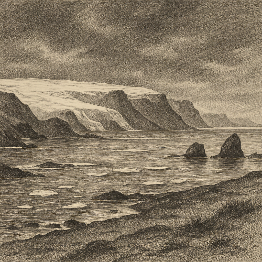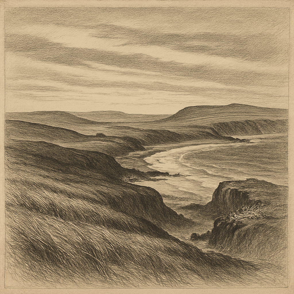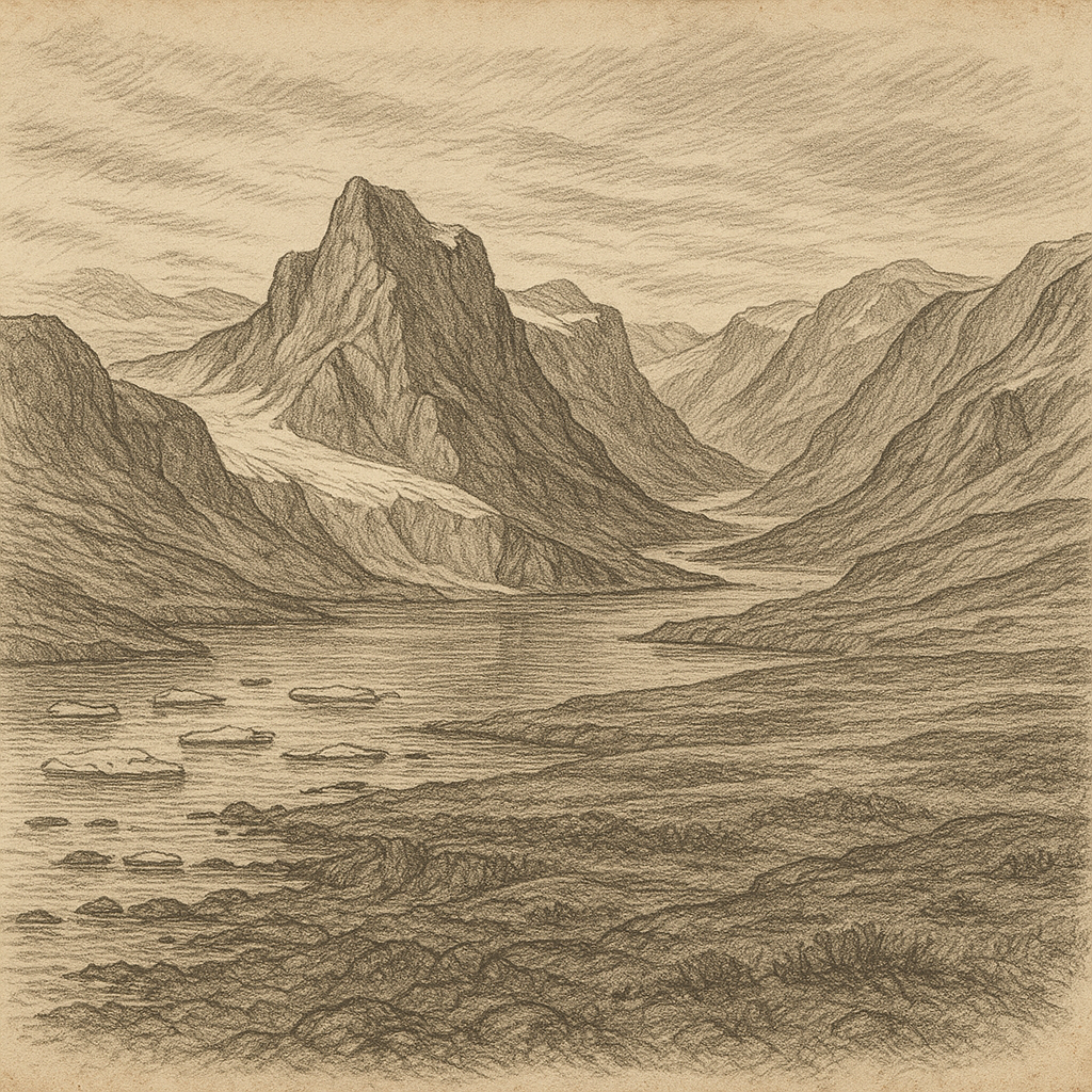
Few places look so thoroughly claimed by cold. Clavering Island lies off the northeast coast of Greenland, separated from the mainland by narrow sounds and fjords in a sector of the Arctic where rock, ice, and sea seem to negotiate every visible boundary. It sits within what is now Northeast Greenland National Park, one of the largest protected areas on Earth, and its setting gives it an almost withheld quality: mountain ridges rising abruptly from the coast, glaciers descending from the inland ice, waters choked or cleared according to season, and long spans of the year when darkness or relentless daylight govern the rhythm more than any human schedule could.
The island was named in the early nineteenth century by the British naval officer Edward Sabine during the 1823 expedition led by Douglas Clavering, whose voyage brought European attention to this stretch of coast. That naming fixed it on maps, but not in any ordinary sense in human life. There was no lasting settlement here, no harbor town, no agricultural foothold. What endured instead was a pattern familiar across the High Arctic: brief arrivals, careful observations, departure. The land itself remains severe and sharply articulated, built of exposed rock and edged by ice-worn shores, with broad tundra patches giving way in summer to low Arctic vegetation that survives in the short season of light.
A meeting place almost nobody could keep
Yet one episode gives the island a rare human brightness. In 1823 Clavering’s expedition encountered a small group of Inuit here, part of the Northeast Greenland Inuit who had lived in one of the most isolated human ranges on the planet. The meeting is among the most famous in Greenland’s polar history because it became, in effect, the last recorded European contact with that population. The visitors traded with them and described kayaks, clothing, tools, and the evident skill with which people had adapted to an environment that offered almost no margin for error.
What followed has the stillness of a vanished trail. Later expeditions found no surviving community in this part of Greenland. Archaeology and historical study suggest that the Northeast Greenland Inuit population disappeared in the nineteenth century, probably through a combination of isolation, environmental pressure, and the fragility that comes with very small numbers. Clavering Island therefore occupies an unusual place in Arctic memory: not as the site of a dramatic colony or shipwreck saga, but as one of the last visible points in a human story that then fell silent.
That silence is one reason the island carries such force. In much of the polar north, traces remain in turf ruins, caches, hunting camps, and place-names. Here, too, the evidence of former life exists in archaeological remains from Inuit use of the region, but the dominant impression is of interruption. The historical record narrows rather than expands. A meeting is documented; a people recede from view; the land closes again under weather and distance.
Stone, ice, and the brief arithmetic of summer
Physically, this is a place of hard definitions. The island belongs to the intricate geography of the Greenland Sea margin, where coastlines are split into peninsulas, islands, sounds, and fjord systems. Sea ice has always shaped access. Even in summer, navigation in northeast Greenland has depended on luck, timing, and experience, and in earlier centuries a ship might be turned away by pack ice after coming tantalizingly close. That uncertainty helped preserve the region from sustained occupation by outsiders while also making scientific work expensive, seasonal, and selective.
When the ice loosens, life appears quickly and with discipline. Musk oxen, emblematic animals of northeast Greenland, have long been part of this wider landscape, grazing on tundra vegetation in the short growing season. Arctic foxes range through the coast, and seabirds use cliffs and shorelines where conditions permit. The sea can hold seals and, offshore, the larger Arctic mammals that migrate through cold waters. Nothing here suggests abundance in the temperate sense; everything depends on timing, energy, and survival strategies refined over millennia.
The island’s climate is polar, but “cold” alone is too blunt a word. Wind matters. Exposure matters. So does the angle of light on dark rock after snowmelt, the difference between a sheltered patch of ground and an open slope, the way a fjord can seem navigable until ice recomposes across it. In winter the landscape hardens into a near-monochrome system of frozen surfaces and shadow. In summer there are intervals of color so restrained they can be missed at first glance: mosses, saxifrages, lichens, a flush of tundra life pressed close to the ground.
What remains on a coast of departures
No famous legend clings to this island in the way it does to some Atlantic outposts. Its eeriness is documented rather than folkloric. Explorers came because the coast had to be charted, named, compared with rumor, and fitted into imperial geography. Scientists followed because northeast Greenland offers evidence in stone, ice, and biology that matters far beyond the region itself. But the island resists becoming anecdotal scenery. It is too bound to absences: the people no longer there, the seasons when approach is impossible, the sheer logistical effort required for any modern presence.
Seen in that light, Clavering Island is not memorable because much happened there, but because so little could be made to stay. A brief encounter in 1823, a name assigned from a ship, animal tracks across tundra, the recurring pressure of sea ice along the coast: these are slight materials for narrative, yet they accumulate into something unusually durable. The island stands at the edge of the inhabited world not as a romantic ruin but as a real Arctic margin, exacting and unsentimental, where history survives in fragments of record and the land continues with no need to explain itself.