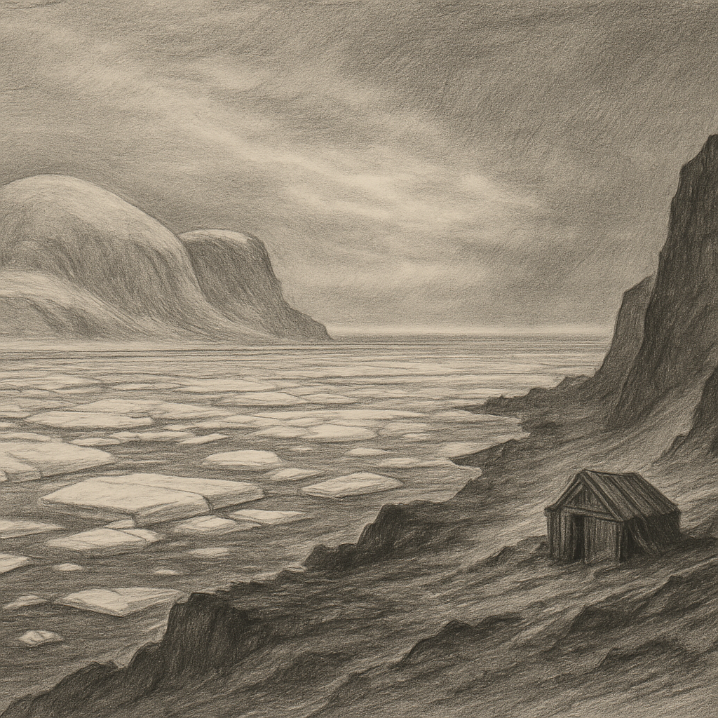
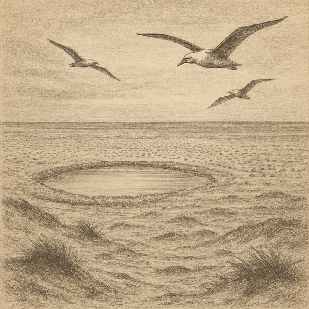
At the far northern rim of the Svalbard archipelago, where charts begin to look spare and the sea behaves like weather more than water, Moffen Island lies as a low ring of sand and shingle beyond 80 degrees north. It is less a dramatic landmass than a pale interruption in the Arctic Ocean: flat, exposed, and so slight in profile that early navigators could easily have taken it for a trick of light. Yet this small island, north of Spitsbergen, has earned an importance out of all proportion to its height.
Its shape explains much of its character. The island is a narrow, almost circular accumulation of gravel, sand, and drift material, enclosing shallow water like an incomplete bracelet. There are no cliffs, no mountains, none of the jagged theater usually associated with Svalbard. Instead there is openness in every direction, a horizon broken by sea ice when the season permits and by little else. That very low relief makes it vulnerable to storms, currents, and ice, but it also gives the place an austere distinction. In a region famed for vertical grandeur, this is the Arctic reduced to line, wind, and whiteness.
Edge of the charted world
For seventeenth-century Dutch and English whalers pushing north into dangerous water, such a scrap of land was more than a curiosity. It marked a useful point in seas crowded at times with ice, fog, and whales. The island appears in the historical record during the great age of Arctic whaling, and its name is generally linked to that era, though spellings varied in early maps and accounts. Here, geography and exploitation met. The waters around the northern reaches of Svalbard were rich hunting grounds for the bowhead whale, Balaena mysticetus, and European ships came in large numbers.
Human presence on the island itself was never substantial in the ordinary sense. No settlement took root, no permanent station transformed it into a foothold. Even so, traces of the whaling centuries have been significant enough for archaeologists and historians to note the site among the many places in Svalbard where the industry left its imprint. The wider northern coast and islands of the archipelago preserve graves, blubber ovens, and expedition remains; on this small outpost, the historical weight is lighter but still tied to that period when the High Arctic became part of a commercial frontier.
Its remoteness later acquired a different significance. Because it lies so far north, it became one of those points that seem to draw explorers simply by existing. In the centuries after the whalers, the far north of Svalbard was repeatedly visited by expeditions concerned with mapping, science, sea ice, and polar ambition. The island stood not as a goal in itself so much as a marker of how far north ordinary seafaring had already reached.
A sanctuary built from restraint
What now defines the place most strongly is not history but protection. The island and surrounding waters are known above all as a vital haul-out area for walrus, Odobenus rosmarus. In the Arctic, a walrus haul-out has its own kind of gravity: a concentration of huge bodies on an otherwise empty shore, a place where the apparent stillness of the landscape suddenly proves alive. Svalbard’s walrus population was once driven sharply downward by hunting, and the species became one of the emblematic recoveries of the region after legal protection in the twentieth century.
Because of that importance, strict rules govern approach. During the breeding and resting season, access is restricted so that animals are not flushed from shore by boats or visitors. The logic is simple and severe: on a low island with nowhere to hide, disturbance matters. Protection here is not scenic sentiment but practical discipline, an acknowledgment that in the High Arctic a small interruption can ripple outward through an entire colony.
The island is part of the protected areas of northern Svalbard, and that legal status suits the place. It asks almost nothing to be added to it. There are no amenities to imagine, no romance of ruins to embellish, no local folklore richly attached to every stone. Its fascination comes from bareness. Seabirds use the area; driftwood and sea-borne debris may gather along its margins; ice can alter the entire mood of the surrounding water from one year to the next. What persists is exposure. Wind crosses it without hindrance. Light, especially in the long season of the midnight sun, seems to flatten distance until sea and shore nearly exchange identities.
What the north keeps spare
Many islands announce themselves with silhouette or story. This one works by subtraction. It has almost no elevation, almost no shelter, almost no human chapter that can be called domestic. And yet that scarcity is precisely what makes it memorable. It offers a rare kind of Arctic truth: not grandeur, but vulnerability; not conquest, but limits. The farther north one goes, the more even a meager strip of ground acquires consequence.
Seen on a map, it can look incidental, a bead at the top of Svalbard. Seen in context, it feels like an outer margin of habitation itself, a place where the habits of people have receded and the older rhythms of ice, migration, and seasonal return still set the terms. The island remains uninhabited, largely inaccessible, and deliberately left undisturbed. In a century addicted to reach, that may be its most striking fact: near the top of the world, this low circle of shore is important not because it invites us in, but because it does not.