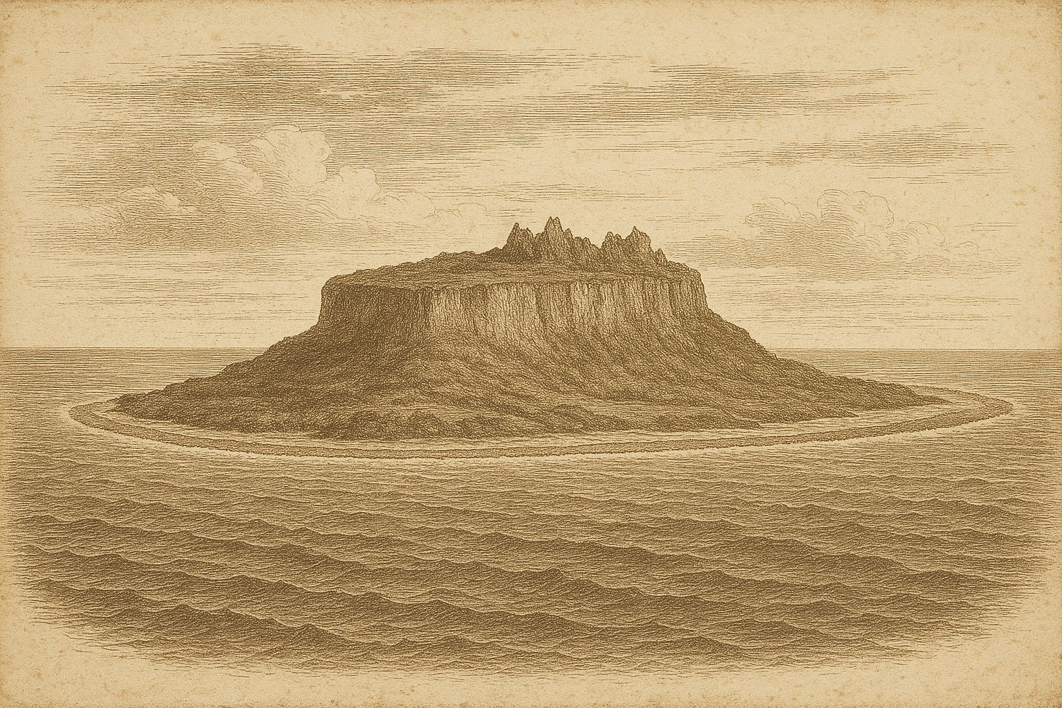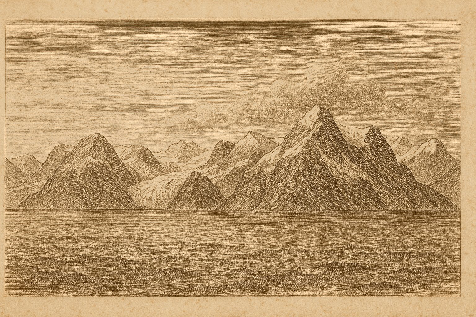
First sight was likely a weathered wall beyond gray water: broken ridges and a pale brow of glacier holding to the horizon while floes clicked at a hull. In that light the land stayed close yet withheld. This is Svalbard (Svalbard), a high Arctic archipelago in the Arctic Ocean. Early crews felt their way in under ice and wind, reading rime on rigging and a distant bird line. They found mountains, ice, and a shore with few favors. Charts taken north began to show harder coasts and names that meant cold work.
It grips anyone who listens for far coasts because rock, ice, and weather keep close company. Administered by Norway, it still feels international in the old way, shaped by ships and seasons. Spitsbergen carries most of the life and work. The archipelago spans 60,299 km² of land and freshwater. The pull is simple: snow light on dark stone, a black ridge above a bay, brash ice ticking in a lee.
Approach through gray water
Approach begins long before landfall. The sea cools, and the light turns thin and exact. Far off, Spitsbergen starts as a smudge, then hardens into a long wall cut by bays and shaded snowfields. Nordaustlandet and Edgeøya step away to the east like dimmer echoes, the archipelago widening into a loose array of stone and ice. On some days cloud drapes the ridges and the horizon goes blank; on others every crease is revealed. A watch keeps to the bow, eyes low to the water where floes shoulder past. Beyond the chart’s main sweep lies the white outlier, Kvitøya, cold even in name.
The first moments near land are quiet. A ship eases under lee, engines low, the air sharper with snow and a hint of old rock. The shore is austere, without soft forest to hide its lines. Beaches gather gravel under meltwater streams; headlands keep their wind. Overhead, birds work the boundary between air and weather, turning like scraps of paper in a draft. Engines hold a steady beat. In this latitude even a cove feels provisional, and the next squall can wait just beyond the point like an unasked question.
Waiting in polar weather
Staying is a different art. The sky can hold daylight that refuses to end, then tilt into a long, measureless night when the sea thickens and time is counted by wind. Snow hardens on ropes, the air lifts crystals into any beam, and sound carries oddly far. In 2026, just over half the surface was covered by snow and ice, a figure that explains the discipline of movement here. Work happens between storms, and much of life is readiness: lines coiled, doors latched, cloud lowering over the administrative center at Longyearbyen as the ridges go flat.
On a chart the archipelago looks open. In weather it feels made of rooms. A valley holds still air while a saddle howls; a bay is calm but cannot be trusted for long. The buildings that stand here keep their own kind of watch, close to the ground, their weight set to live with drift and thaw. Snow has angles, and it takes them from the wind. Silence is a pause. Names on maps—Isfjorden, Wijdefjorden—and simpler names—like Moffen Island—sound like facts learned while the barometer falls.
Glaciers and high ground
Glaciers decide much of what the eye meets here. Over the long term, they have covered nearly sixty-one percent of the land, and the look of the coast follows that truth: tidewater faces with deep vertical blue, moraines combed by melt streams, bergy bits knocking their way out to open water. When the light rises low, the ice takes on a faint bloom and every outcrop seems newly made. Years press into ice thick enough to shape the land.
Above it all stands Newtontoppen at 1,713 m, a high point on Spitsbergen that looks down on long tongues of ice and dark ribs of mountain cut by valleys. The scale is stern, never crowded. Where the ice has pulled back, the ground is raw: frost-shattered stone, old beach ridges, patches that show their season in a single color. Protection here is not an afterthought. It is the rule. Much of the land has been set aside in parks and reserves, turning the archipelago into a wide, cold reserve where change is watched.
Treaty and present shores
The human story is marked by a few clear dates rather than a crowd. In 1596, Willem Barentsz sailed these waters and placed the place firmly on European charts. The archipelago was long called Spitsbergen; when a treaty entered into force in 1925, the official name became Svalbard and the main island kept the older word. Administration took on a more local face in 2002, when Longyearbyen got its elected council. Even with those turns, the scale remains polar, the kind that makes a small settlement feel like a lit cabin in storm. Beyond, other Arctic names—Jan Mayen, or farther east Rudolf Island—stand in the same weather.
Seen again from sea level, the opening image returns: a gray reach, ice in the scuppers, and a coastline that seems to hold its breath. The protected extent here is large, and that choice is legible from the water. It reads as less infrastructure and more sky, fewer engines and more crackle from shore ice as tide turns. For an explorer’s cast of mind, the pull lies in that quiet exactness. A last pass below Newtontoppen leaves something concrete to keep: the blue of compressed ice in a bergy fragment’s shade, and the hollow tap of floes against steel as the ship falls off the wind.
Quick facts
- Location: 78°9′25″N 15°51′51″E; Arctic Ocean; between about 74°–81°N and 10°–35°E
- Area: 60,299 km² (land and freshwater)
- Highest point: Newtontoppen, 1,713 m a.s.l. (Spitsbergen)
- Status: Norway; official name changed in 1925
- Population: 2,914 residents (1st half of 2026)
- Access: Norwegian Sailing Directions, Vol. 7 (Kartverket)
- Wildlife/Protection: Protected areas cover 68.9% of land (2025); glaciers cover nearly 61% (long‑term average)
- Largest island: Spitsbergen (37,814 km²)
Sources
- Statistics Norway (2026): Fakta om Svalbard
- Store norske leksikon (2026): Svalbard
- Norwegian Polar Institute: Svalbard – Norwegian Polar Institute Place Names
- Norwegian Polar Institute: Newtontoppen – Norwegian Polar Institute Place Names
- Norwegian Mapping Authority (2015): Den norske los, bind 7
- Store norske leksikon: Svalbards historie
- Wikipedia: Svalbard