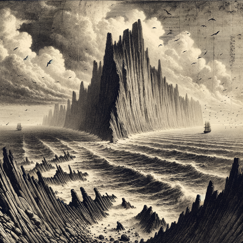
Ships do not so much arrive here as concede, after days of Pacific distance, that a jagged mass of black rock truly exists where the horizon had seemed determined to remain empty. Malpelo Island rises far off Colombia’s mainland, in the eastern tropical Pacific, as a steep volcanic outcrop with almost no gentle edge to it. There are no beaches, no inviting coves, no fringe of palms to soften the approach. What appears instead is an abrupt spine of bare stone, roughly a mile long, surrounded by stacks, reefs, and a sea that has made the place famous precisely because land seems so improbable there.
Geographically it is a lonely point: about 500 kilometers west of the Colombian coast, administered by Colombia and protected today as part of the Malpelo Flora and Fauna Sanctuary, a status strengthened by its inscription on the UNESCO World Heritage List in 2006. The island itself is high-sided and arid, built of volcanic rock and cut by ravines and sharp ridges. Fresh water is scarce. Vegetation is sparse. Seabirds, wind, salt, and guano have far more presence than any sign of comfort. For long stretches of its history, that severity was its defining fact. Mariners knew it as a difficult, forbidding landmark, useful to charts and hazardous to approach.
Stone without welcome
The recorded European awareness of the island reaches back to the age of Spanish expansion in the Pacific, and its name is commonly linked to the Spanish word mal pelo, often interpreted as “bad hair,” though in practice the phrase has long carried the sense of something rough, difficult, or ill-favored. The name suits the silhouette. Early descriptions did not turn it into a romantic exile or a lush lost world. They treated it as what it was: a hard place to land, a harder place to remain.
That remained true into modern times. There has never been a civilian settlement. Human presence has been temporary and functional: naval visits, scientific work, and a small Colombian military post maintained in the twentieth and twenty-first centuries to support surveillance and conservation. Even that foothold had to be engineered against the island’s refusal to accommodate people. Access depends on weather and sea state; landing can be dangerous. The island’s atmosphere of abandonment is not the aftermath of a failed colony but the older, cleaner fact that almost nobody ever managed to belong there in the first place.
Yet the very harshness that repelled settlement preserved something unusual. Because there was so little scope for agriculture, construction, or ordinary occupation, the surrounding waters retained a wild abundance rare in the modern ocean. On land, the island supports breeding colonies of seabirds, including Nazca boobies, masked boobies, red-footed boobies, frigatebirds, and storm-petrels, as well as endemic reptiles such as the Malpelo anole, Anolis agassizi, and the Malpelo gecko, Phyllodactylus transversalis. These are creatures adapted not to abundance but to exposure.
Below the cliffs, a different empire
The island’s greatest biological drama lies underwater. The cliffs continue beneath the surface into walls and drop-offs washed by nutrient-bearing currents, and these waters have become one of the most celebrated shark sites on Earth. Schools of scalloped hammerheads, Sphyrna lewini, move through the blue in remarkable numbers. Silky sharks, Galápagos sharks, whale sharks, and other large pelagic species are regularly recorded in the sanctuary. The place sits within a wider eastern Pacific network of migratory routes that link distant marine protected areas, which helps explain why scientists and conservationists regard it as far more than an isolated rock. It is a node in motion, a meeting point for ocean life that ranges across enormous distances.
That richness also made the surrounding sea vulnerable. Industrial fishing pressure in the eastern Pacific has been intense, and the sanctuary’s importance has grown in proportion to what has disappeared elsewhere. Protection here is not decorative. It is one of the reasons aggregations of large predators still survive. Divers who have been permitted to visit often describe the experience less as sightseeing than as entering a fully occupied realm in which humans are brief, clumsy visitors.
The imbalance between the nearly barren island and the crowded sea around it gives the place its peculiar force. From above, it can look almost lifeless, a charred remnant stranded far from softer coasts. Below the surface, it is one of the most animated marine environments in the region. Few islands reverse expectation so completely.
A landmark for those who pass, not stay
There is little folklore attached to the island in the usual sense, and that absence is telling. Places that gather stories often do so through repeated human use; this one mostly accumulated wary notice from navigators, naturalists, and later researchers. Its mystery is therefore not embroidered by legend. It comes from exposure, from the severe honesty of a place that offers neither shelter nor easy narrative. Even its scientific fame arrived through difficulty: expeditions, weather windows, rough landings, patient observation in a setting built to remind visitors how incidental they are.
Seen from a vessel at dusk, the island can appear almost unfinished, a dark interruption shouldered out of deep water and left to weather in solitude. But maps, patrol logs, bird censuses, shark surveys, and UNESCO documents all insist on the same conclusion: this is not a rumor of land. It is a real and consequential fragment of the Pacific, austere above water, lavish below it, and so remote that human history has touched it only with fingertips.
Long after the rock itself drops behind the stern, that contrast lingers. The mind keeps the image of naked cliffs in one compartment and, in another, the unseen movement of hammerheads in blue water. Few oceanic islands are so stark on the surface and so populous in the depths. That tension is the island’s enduring hold: not a paradise withheld, but a place whose life begins where the eye cannot follow.