Beyond the last practical map
Few places on Earth seem arranged so completely for absence. Rudolf Island lies at the extreme northern end of Franz Josef Land, deep in the Russian High Arctic, with Cape Fligely on its shore marking one of the northernmost pieces of land in the Eastern Hemisphere. The island is small by continental standards yet immense in effect: a white, wind-scoured platform of rock and ice set among polar seas that spend much of the year locked under pack ice. Here, distance is not an idea but a governing force. The nearest notions of ordinary life fall away quickly; what remains is a geography of exposure, cold, and severe light.
Much of its surface is glaciated. Low relief and ice domes blur the line between landform and weather, while the coast breaks into capes and narrow strips of shore where bare ground appears only in summer. The climate is classically polar: long darkness, persistent cold, and brief periods when the sun circles without setting, revealing a world of muted color rather than the bright spectacle often imagined from lower latitudes. Sea ice, fog, and sudden winds have always shaped how this island is seen and approached. Even in an archipelago known for remoteness, this one occupies a further register of difficulty.
The effect on the visitor, or on the reader tracing expedition routes across old charts, is oddly disproportionate. A small island should not feel so final. Yet it does, because it stands so close to the top of the globe that every journey toward it carries the old polar logic of attrition: fuel, sledges, pressure ridges, uncertain leads in the ice, and the constant possibility that the sea itself will refuse passage.
Routes of ambition and survival
The island entered recorded geography during the Austro-Hungarian North Pole Expedition of 1872–74, led by Julius Payer and Karl Weyprecht, which discovered and named much of Franz Josef Land. Payer named it for Crown Prince Rudolf of Austria. In the decades that followed, the island became less a destination in itself than a crucial northern stepping stone for expeditions chasing the Pole. Its value was brutally practical: a place from which men launched themselves into the ice, hoping latitude could be gained before weather, hunger, or drift took it back.
Among those who used it was Fridtjof Nansen. In 1895, after his attempt to reach the North Pole with Hjalmar Johansen, he encountered Frederick George Jackson at Cape Flora farther south in the archipelago, but Rudolf Island had already figured in the wider geography of these polar campaigns as one of the farthest advanced positions available to explorers. The Duke of the Abruzzi’s expedition of 1899–1900 established a base at Teplitz Bay on its northern coast. From there, Umberto Cagni made the sledge journey that set a new “farthest north” record in 1900, reaching 86°34′ N before turning back. The achievement was celebrated at the time; the cost in labor, frostbite, exhaustion, and risk was embedded in every mile.
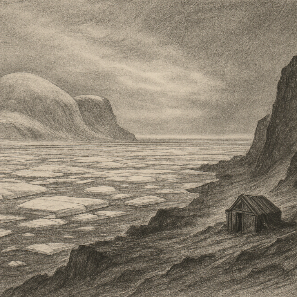
That pattern repeated across the heroic age of polar exploration. The island was not a settled place and never became one in the conventional sense. It was a staging ground, a depot, a hard edge from which men departed into a region that offered no negotiation. Huts, stores, and temporary stations mattered because there was so little else here to assist a human plan. Abandonment, when it came, was almost built into the enterprise from the beginning. Structures decayed, snow reclaimed traces, and the island resumed its primary condition: not ruined, but indifferent.
Austere life at the edge of pack ice
Even so far north, life persists with a precision that seems almost abstract until seen up close. The waters and ice of Franz Josef Land support the species expected of a true Arctic frontier: polar bear, walrus, seals, and seabirds that exploit the short season of open water and exposed rock. On islands like this, ecological richness is concentrated where conditions permit it at all—along coasts, polynyas, bird cliffs, and narrow summer margins released from snow. The interior remains overwhelmingly a realm of ice.
Its scientific importance has grown as the age of imperial exploration has receded. The island’s glaciers, snow cover, and sea-ice setting form part of a larger Arctic system now watched closely for evidence of climatic change. In that sense, it belongs as much to modern observation as to expedition legend. Yet the older atmosphere endures. Place-names such as Teplitz Bay and Cape Fligely still carry the cadence of nineteenth-century ambition, and the island’s documented history remains inseparable from the technologies of that era: wooden ships, dog teams, depots, and the mathematics of latitude.
No folklore needs to be invented around such a place. Its eeriness is factual. Men came here mainly to go farther and often discovered that farther was only another word for more dangerous. The records that survive—expedition narratives, charts, weather notes, accounts of drifting ice and failing strength—give the island a reputation more compelling than myth: it was one of the last pieces of land from which the Pole could be approached, and that made it both coveted and severe.
Where the world narrows to weather and ice
Seen now, whether in satellite imagery or in the sparse photographs and reports that emerge from the Russian Arctic, the island still appears less like a destination than a limit made visible. Its outline is modest, but its position grants it an outsized power in the imagination. North of it lies only ocean and ice on the way to the Pole. Behind it stretches the broken, frozen geometry of Franz Josef Land. Around it, for most of the year, the sea remains governed by cold rather than by route.
That is what makes the place memorable. Not grandeur in the usual scenic sense, and not romantic desolation for its own sake, but the rare clarity of an environment stripped to essentials. Rock where the ice withdraws. Ice where the season permits no other reading. Water only when the pack opens. Human history reduced to camps, departures, and names attached to capes. In an age when so much of the planet feels crosshatched by movement, this island still stands in a zone where movement is provisional and presence temporary.