Few pieces of land seem so thoroughly given over to weather. In the western Canadian Arctic, beyond the better-known channels of the Northwest Passage, Prince Patrick Island lies as a broad, spare mass in the Queen Elizabeth Islands of Nunavut, bounded by ice-choked seas for much of the year and visited more often by pressure ridges, fog, and polar darkness than by people. It is one of the largest islands in the country, yet in the imagination it remains strangely recessive: a place not absent from maps, but seldom present in ordinary thought.
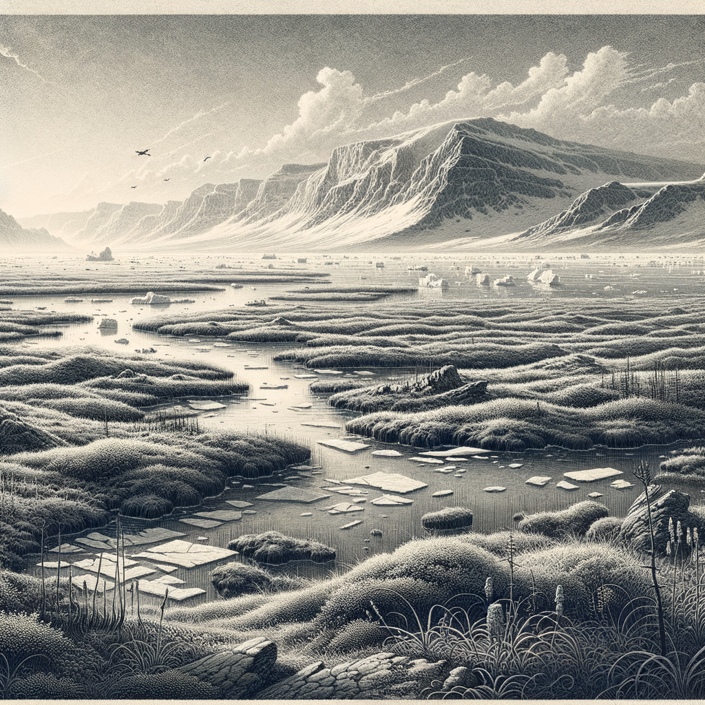
Its shape is generous, almost blunt, and its surface is notably low compared with the mountainous Arctic islands farther east. There are no alpine theatrics here. Instead, the ground spreads outward in plateaus, shallow valleys, coastal plains, and long reaches of polar desert and tundra, with elevations rising modestly toward the interior. The coastline is deeply indented in places, opening into bays and inlets that offered, for explorers, both invitation and hazard. For much of the year sea ice binds those waters into a hard, unstable margin. Even in summer, access is uncertain, dependent on brief windows of thaw, aircraft range, and a kind of logistical patience few places demand so completely.
An island found in the age of searching
This was not an island known through old settlement or deep traffic. It entered recorded European geography during the great 19th-century search for Arctic passages and, later, the lost Franklin expedition. In 1853 the Irish explorer Francis Leopold McClintock, then serving in the British Navy, sighted and named it for Prince Arthur William Patrick, Duke of Connaught, the seventh child of Queen Victoria. The naming belongs to the era’s imperial habits, but the circumstances were harsher than ceremonial language suggests: this was country revealed by sledging, cold, and the disciplined uncertainty of polar reconnaissance.
McClintock’s sighting did not lead to occupation. No permanent settlement took hold, and the island has remained uninhabited. That absence is not incidental; it is one of the defining facts of the place. The High Arctic rewards no casual human presence. Temperatures remain severe, winters immensely long, and biological productivity thin. To stay here requires infrastructure, supply lines, and purpose. For most of history, none lasted. What records exist are therefore episodic: survey work, geological interest, scientific observation, and the sparse but consequential visits of exploration.
Its role in the history of Arctic travel is less dramatic than that of Beechey or King William Island, yet in another way it is more revealing. It shows how much of the northern archipelago was learned in fragments. A coastline here, a cape there, a corrected chart, a winter estimate of what lay beyond the horizon. The island belongs to that patient accumulation of knowledge by men moving through darkness and reflected glare, often with only partial certainty about what they were seeing.
Low ground, severe climate
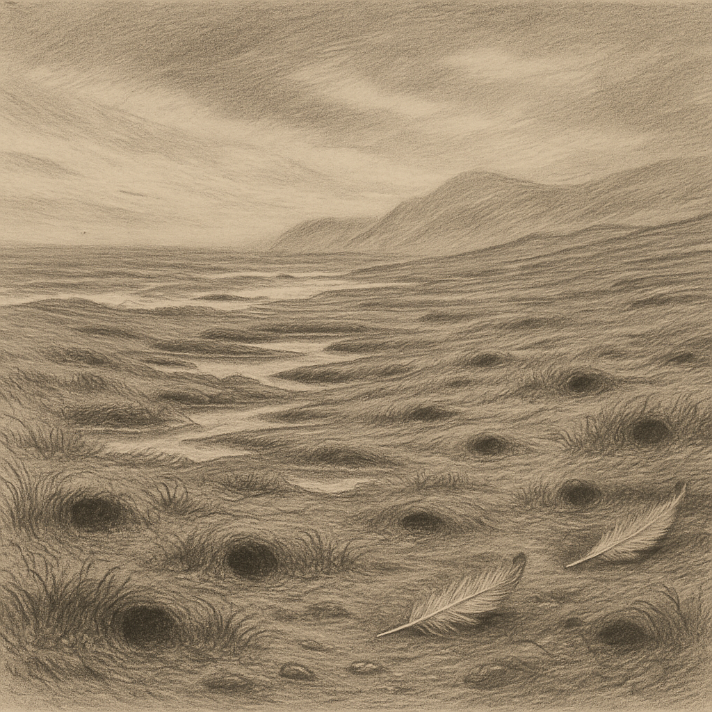
The physical character of the island is inseparable from climate. This is a true polar desert, with low precipitation, permafrost, and a growing season so short that life works close to the ground. Vegetation is sparse and patchy, composed of mosses, lichens, sedges, and hardy flowering plants adapted to cold soils and relentless wind. Where conditions allow, muskoxen range the tundra, and Peary caribou, the small pale caribou of the High Arctic, have been recorded in the region. Polar bears move along the coasts and sea ice, linking the island ecologically to the surrounding marine world more than to any human geography.
Birdlife arrives with the sun and retreats with it. In summer, migratory species use the brief opening of water and tundra to breed, feed, and move on before the season closes again. The impression is not of abundance in the temperate sense, but of life calibrated with extraordinary precision. Every thawed pond, every exposed patch of sedge, every loosened edge of shore matters.
Geologically, the island is part of a far northern sedimentary world rather than a volcanic or mountainous one. Its rocks and landforms have interested scientists studying Arctic stratigraphy, glaciation, and permafrost processes. Yet even these technical descriptions carry atmosphere. Frost-shattered ground, patterned surfaces, and coastlines nibbled by ice and thaw speak of a landscape still being worked over by cold rather than merely inhabited by it.
What remoteness looks like when it has no audience
Because there is no town, no harbor, no ruin made picturesque by memory, the island’s power comes from a more difficult kind of presence. It offers almost nothing familiar for the eye to settle on. Human history has touched it lightly enough that the land still seems to stand before interpretation, not after it. Many remote islands gather stories of castaways, shrines, naval battles, or vanished communities. Here, documented lore is sparse. The silence around the place is largely administrative and environmental, the silence of charts, expedition notes, and scientific records.
That very sparseness gives it a distinct force. In the Arctic, emptiness is often imagined as a blank, but this island suggests something else: a world full of conditions rather than events. Light that lingers and then disappears for months. Sea ice that can function as road, barrier, and trap. Distances measured not just in miles but in the difficulty of crossing them. On such ground, the usual signs of importance fall away, and scale reasserts itself. A large island can remain almost unknown simply because almost nobody has reason, or ability, to go there.
Seen in that light, the place is not a marginal curiosity but one of the purest expressions of the High Arctic’s terms. It does not advertise itself with cliffs, volcanoes, or famous tragedy. It persists in a quieter register: broad, cold, unnamed in daily speech, and almost entirely outside the circuits that make most places legible. The maps record it clearly. The world beyond the maps, for the most part, passes by without noticing.