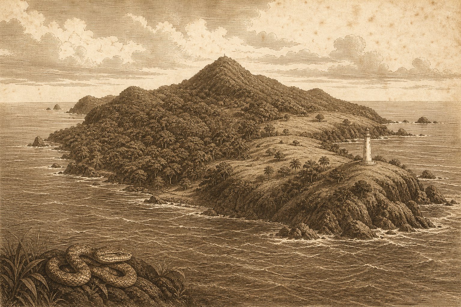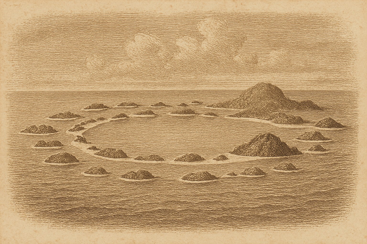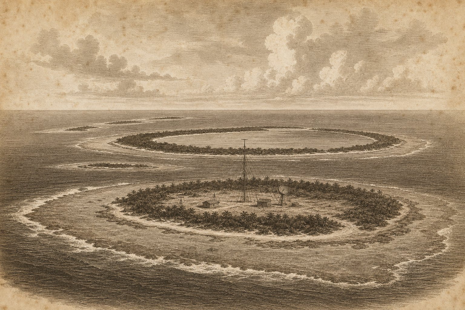
Low land beyond a long reach of water can hold the eye before its separate shores become clear. The Cocos (Keeling) Islands (Pulu Kokos (Keeling)) lie in the Indian Ocean, where coral ground and reef interrupt the open water. From a distance, their slight elevation offers little against the expanse around them. An imagined approach begins with that small distinction: the sea continuing toward the horizon, the land barely rising above it. For anyone drawn to the voyages of early navigators, there is much to consider in this first view, before the islands resolve into named shores and the water between them.
This Australian territory lies approximately 1,000 kilometers southwest of Java and Sumatra, with about 14 square kilometers of land divided among coral islands. Its hold on a lover of distant places begins with that disproportion between land and surrounding ocean. Yet the chart gives only part of the attraction. These are inhabited islands, with a language and community of their own; approaching them in thought also means attending to the people for whom this distant shore is home.
The reef beneath the approach
The territory comprises twenty-seven coral islands arranged in two large atolls. An approach imagined from that geography has no mountain to organize the view, only separate pieces of low ground and the water between them. The highest point, on South Island, rises just nine meters above sea level. The land stays low. Captain William Keeling reached the islands in 1609, at the beginning of their European history. Beyond that spare account lies the physical prospect of his arrival: coral land ahead and ocean behind, with the reef close to the shore. The surviving facts leave his thoughts at that sight unspoken.
At North Keeling Island, the reef has a particular place in maritime history. In 1914, men from SMS Emden captured the communications station on Direction Island; HMAS Sydney intervened and forced Emden onto the reefs around North Keeling. The ship reached the reef. Against the low coral land, the account fixes attention on the water immediately offshore, where a naval encounter ended with a vessel driven aground. Distance can make an atoll seem slight on a chart. Here the hard surface beneath the water mattered as much as the visible shore, and the approach ended before the land was reached.
The language of Home Island
The residents live on Home Island and West Island. These shores are home. For a distant reader, those names bring attention down from the wide ocean to particular places where people live, within the same small territory that first appeared as scattered ground. On Home Island, Cocos Malay, a distinctive Malay dialect, is the most commonly spoken language. The place therefore has another sound as well as another name, familiar to its speakers before it is encountered on a distant map. An account concerned only with coral and water would leave out that everyday presence and much of what makes this an inhabited shore.
The Cocos-Malay community’s culture centers on strong Muslim beliefs. Remoteness describes the separation from other lands; it says little about the closeness of language and belief within a community. The appeal of an unfamiliar coast can remain strong while making room for that distinction. Home Island is a place approached from elsewhere in these pages, but the people living there do not need an approaching vessel to give the shore significance. Around their island lies the same broad water that draws a traveler’s attention. On land, the account must also attend to a culture with its own center and continuity.
A different future for seabirds
On North Keeling, seabirds bring attention to another relationship between the islands and their community. In 1986, the Australian Government and the Cocos-Malay community agreed to a moratorium on seabird hunting there. Hunting was to stop. The agreement gives this northern island a human history concerned with the life on its shores, rather than with ships approaching them. No named species or promised spectacle is needed to make the decision tangible. Birds, coral ground, and surrounding water are enough to hold the scene, together with the knowledge that a community and a government agreed to change what happened on that ground.
Pulu Keeling National Park was proclaimed in 1995, and Parks Australia manages it on behalf of the Shire Council and the Cocos-Malay population. The park has local responsibilities behind its name. Seen from the water, the coral shore need not reveal those arrangements, yet they are part of the island’s present just as surely as its low outline. Protection involves people elsewhere in the territory as well as the land within the park. The northern atoll can still draw the imagination outward across the ocean without being treated as a place beyond human concern, detached from the community whose interests its management represents.
The islands beyond the chart
The Shire serves the territory through permanent staff and an elected council, providing standard local-government services. Ordinary work continues here. A reader moving between these islands and Christmas Island may begin with an appetite for far places, then pause over this quieter part of an island’s present. A council and its staff belong in the portrait alongside the reef and the open sea. Even names require care: Cocos Island is a separate destination on the map. The full name here keeps attention on Keeling and these coral atolls, where the practical affairs of a territory continue amid the surrounding water.
The first prospect remains: low land beyond a long reach of water, its outline slight against the sea. The longing that follows old navigators toward an unfamiliar shore can linger over that view without supplying their thoughts or speaking for the people living there now. There is enough in the actual distance, the coral, and the narrow rise of ground. As the islands recede in the imagination, their separate shores become harder to distinguish. Water fills the spaces between them, and the last visible land lies close to the horizon.
Quick facts
- Location: Indian Ocean, approximately 12°10′S, 96°50′E; approximately 1,000 kilometers southwest of Java and Sumatra.
- Area: About 14 km² of land; estimates differ, with Western Australian regional-planning information giving 15.6 km².
- Highest point: 9 meters above sea level on South Island.
- Status: Australian territory; local-government services provided by the Shire of Cocos (Keeling) Islands.
- Population: 593 in the 2021 census; residents live on Home Island and West Island.
- Wildlife/Protection: Seabird-hunting moratorium agreed in 1986; Pulu Keeling National Park proclaimed on 12 December 1995 and managed by Parks Australia.
Sources
- Geoscience Australia (2025): Cocos (Keeling) Islands
- Parks Australia: History & culture
- Government of Western Australia (2026): Indian Ocean Territories regional planning
- Shire of Cocos (Keeling) Islands: About Us
- Wiktionary (2026): Cocos (Keeling) Islands