Diego Garcia: A Remote Island with a Complex Past
Geographical Location and Overview
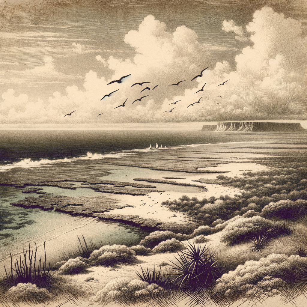
Diego Garcia is a remote atoll located in the central Indian Ocean, forming part of the British Indian Ocean Territory (BIOT). It sits around 1,800 kilometers south of India and approximately 3,600 kilometers east of the coast of Africa. Shaped like a horseshoe, Diego Garcia is approximately 44 square kilometers in land area, with a large enclosed lagoon at its center. The island is the largest and southernmost of the Chagos Archipelago and is surrounded by coral reefs, making access by sea limited to small channels that cut through the barrier.
Positioned just south of the equator, Diego Garcia is strategically located, which has made it a significant but controversial site in global geopolitics. Despite its isolation, the island plays a critical role in military and maritime dynamics across the Indian Ocean region.
Naturally Formed Beauty and Biodiversity
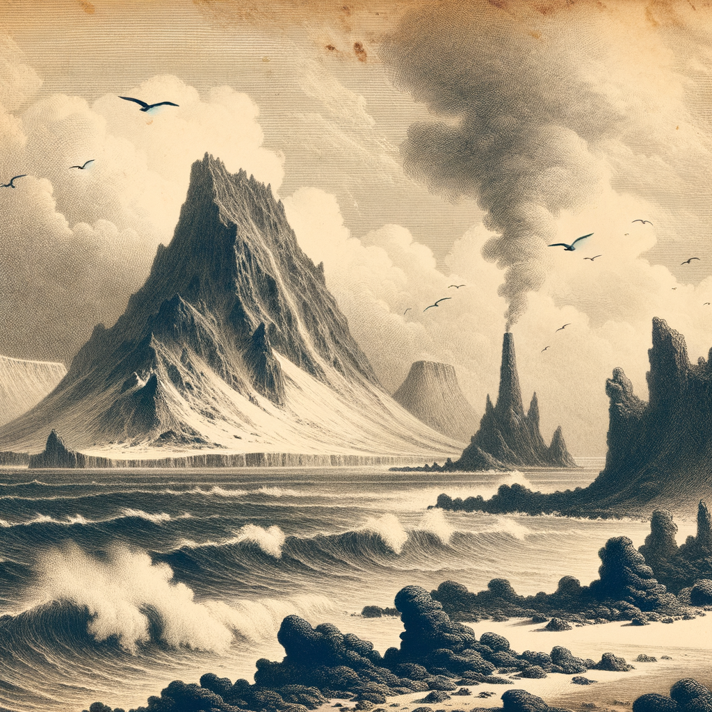
Diego Garcia is of volcanic origin, formed from a submerged volcanic peak that eventually gave rise to coral atolls over millions of years. The result is a low-lying, curved island structure that partially encloses a deep blue lagoon. The coral reefs surrounding the island are rich in biodiversity, including numerous species of tropical fish, reef sharks, manta rays, and sea turtles.
Though the island’s environment has been altered through human development, particularly its use as a military base, efforts have been made to conserve the island’s fragile ecosystems. Coconut palms, sea grasses, and native hardwood trees cover much of the land, while a variety of seabirds, including terns and frigatebirds, make the atoll their nesting grounds. The island also serves as a critical stopover point for migratory birds traversing the Indian Ocean routes.
Historical Background
The Chagos Archipelago, including Diego Garcia, was uninhabited when Portuguese sailors first came across it in the early 16th century. By the late 18th century, French settlers, and later British colonists, began using the islands for coconut plantations, worked by slaves and later contract laborers from Africa, Madagascar, and India.
In 1965, three years before Mauritius gained independence from the United Kingdom, the UK detached the Chagos Archipelago from Mauritius to form the British Indian Ocean Territory. Between 1968 and 1973, over 1,500 native Chagossians, known as Ilois, were forcibly removed from their homes to make way for the creation of a joint UK-US military base. Most were relocated to Mauritius and the Seychelles, and many continue to fight for the right to return.
In 1971, Diego Garcia was transformed into a major US military facility. It played critical roles in numerous conflicts, including the Gulf War, the war in Afghanistan, and the Iraq War. With advanced strategic capabilities, the base includes an airfield, deep-draft port facilities, and extensive communications infrastructure.
Points of Interest and Access
Diego Garcia is not open to tourism. Civilian access is strictly restricted, and travel to the island is generally limited to military personnel and contractors. The base is serviced by military flights and supply ships, and civilian vessels rarely visit due to strict territorial protections and the lack of infrastructural accommodations for tourists.
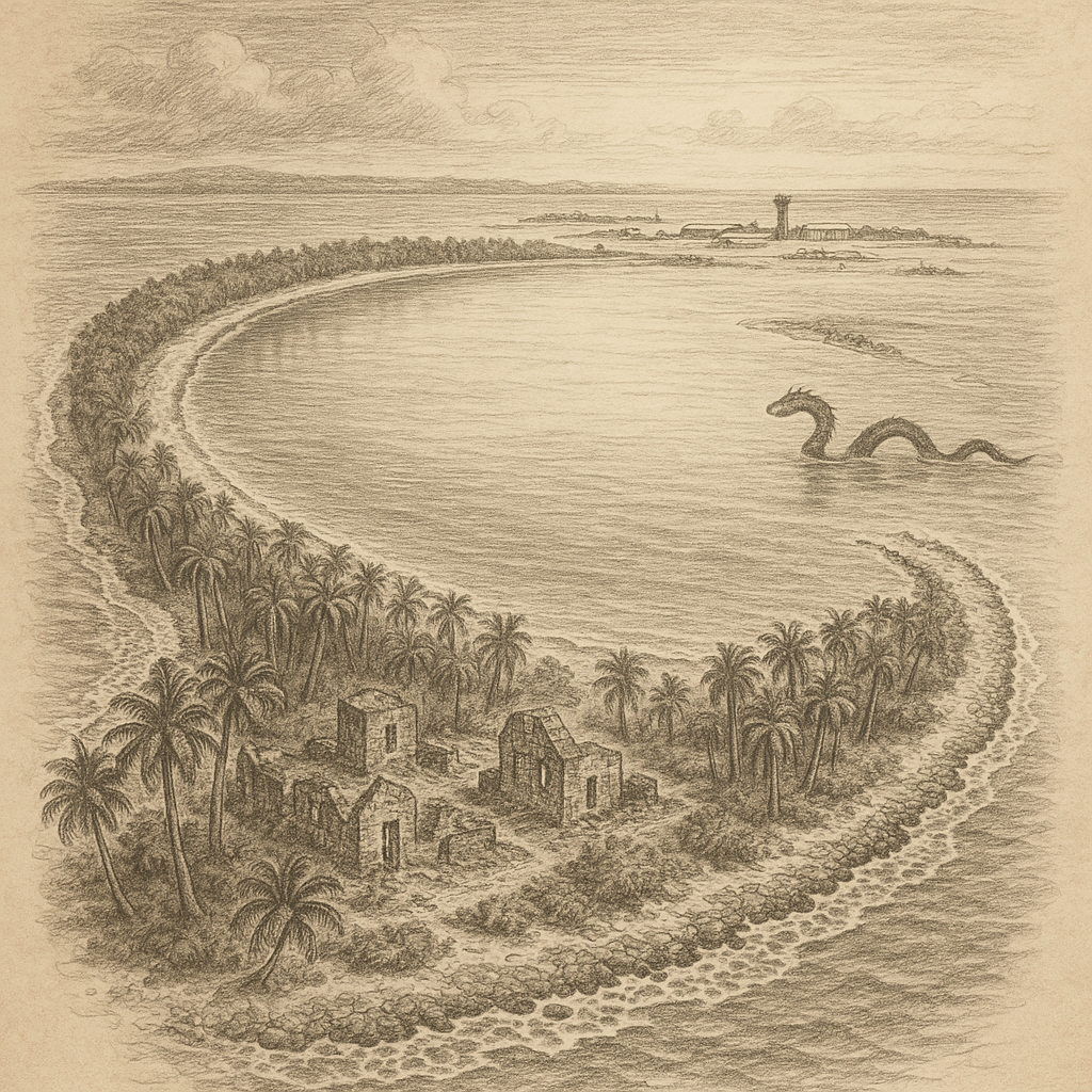
Within the base, there are limited amenities such as housing, recreation facilities, and churches. Remnants of the Chagossian settlements, including old stone buildings, cemeteries, and ruined coconut plantations, remain scattered across the island and stand as silent witnesses to a displaced people.
Interesting Facts about Diego Garcia
– Diego Garcia is unique in being both geographically remote and strategically essential, bridging operations between Europe, Africa, the Middle East, and Asia.
– The lagoon at the center of the atoll is around 19 kilometers long and serves as a natural harbor for large naval vessels.
– The island is often humorously called the “Footprint of Freedom” due to its vaguely foot-shaped appearance when seen from above.
– The BIOT is one of the few territories in the world without a permanent civilian population, passport, or native flag representing its indigenous people.
– Despite being under British sovereignty, the island is operated almost exclusively by the United States under a long-term lease agreement.
Legends and Stories of Diego Garcia
Over time, the isolation and history of Diego Garcia have given rise to several legends and tales among sailors, military personnel, and the displaced Chagossians. One such legend speaks of the “Guardian of the Lagoon” — a mythical sea serpent said to dwell in the dark depths, protecting the island’s secrets and punishing those who come with bad intent. Sailors and divers have often reported hearing strange sounds in the water or seeing unexplained shadows moving through the liquid blue, fueling speculation and myth.
Among the Chagossian community, stories circulate of ancestral spirits still roaming the island, watching over the land from which they were exiled. Some claim that their ancestors’ voices can be heard in the ocean winds, calling for justice and a return to their rightful home. These stories, once passed down by generation through poetry and song, represent more than folklore—they are the collective memory of a community severed from its homeland.
Conclusion
Diego Garcia is an island of contrasts—stunning natural beauty juxtaposed with a complicated and often painful history. Though few will ever set foot on its shores, the island remains a symbol of geopolitical strategy, legal battles over sovereignty, environmental stewardship, and cultural loss. It sits quietly amid turquoise waters and coral reefs—a remote atoll at the center of global attention, where legends linger and history continues to unfold.