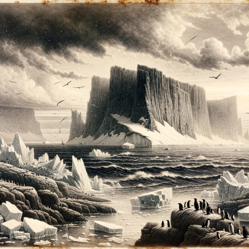
A black volcanic mass rises from the Bellingshausen Sea with the abruptness of something not meant for company. Peter I Island lies off the coast of Antarctica, far from regular shipping lanes and farther still from any ordinary idea of an island as refuge. What appears on a map as a compact shape is, in reality, a remote Antarctic outpost almost entirely armored in ice, ringed by steep cliffs, and battered by the Southern Ocean. Roughly 450 kilometers from the Antarctic mainland, it is one of the loneliest pieces of sovereign territory on Earth.
Its dimensions are modest, but the terrain is not. The island covers about 156 square kilometers, and most of that surface is buried beneath permanent ice. Near its center rises Lars Christensen Peak, the island’s highest point, reaching to around 1,640 meters. The coast is notoriously difficult: glaciers descend toward the sea, cliffs deny easy landings, and pack ice often controls access more decisively than any human plan. Even in an age of satellites and ice-strengthened vessels, this is a place that resists arrival.
A sighting before a landing
The first confirmed sighting came in 1821, when the Russian explorer Fabian Gottlieb von Bellingshausen encountered the island during his Antarctic voyage and named it for Tsar Peter I. Seeing it was one thing; getting ashore was another. For more than a century, the island remained effectively untouchable, an object of observation rather than occupation. Sea ice and cliffs protected it with remarkable efficiency.
Only in 1929 did a landing party from the Norwegian expedition led by Nils Larsen manage to set foot there. That landing gave Norway the basis for a territorial claim, and in 1931 the island was formally annexed as a Norwegian dependency. It has never become a settled place. No civilian community formed, no harbor softened the coast, no permanent station took hold. Human presence has been episodic, technical, and brief: landings by scientific or official expeditions when weather, ice, and luck happen to align.
That long delay between discovery and landing is one of the island’s defining facts. Many remote islands entered history through trade, sealing, whaling, or shipwreck. This one mostly stayed outside such narratives because it was so hard to reach and offered so little practical foothold. Its story is sparse not from lack of interest, but from physical refusal.
Stone, ice, and a narrow margin for life
Geologically, the island is volcanic. Its dark rock and steep relief make that origin legible even beneath the heavy cover of snow and ice. Yet unlike volcanic islands in warmer seas, it does not present itself through lush contrast. Here, volcanic structure and polar climate combine into something severe: exposed headlands, ice caps, crevassed slopes, and coastal sectors where the difference between land and frozen weather seems almost negotiable.
Biological richness exists, but in the restrained Antarctic manner. Seabirds use the island and nearby cliffs, and penguins are among its most recognizable inhabitants. Southern fulmars and other Antarctic birds have been recorded there, while the surrounding waters support the larger marine life typical of the Southern Ocean, including seals. What matters is not abundance in a tropical sense, but the fact that life persists at all on such a forbidding stage, occupying the few workable ledges and ice-free margins available.
Because the island is uninhabited and so seldom visited, it has also become a site of scientific interest precisely for its isolation. Protected status under the Antarctic Treaty system reflects that sensitivity. Access is controlled; visitors do not simply arrive. The point is not tourism but restraint, the recognition that places this exposed can be altered quickly and studied only carefully.
The island that keeps its distance
There is little folklore attached to it in the usual island sense. No old resident tales, no layered vernacular tradition, no harbor gossip handed down through generations. Instead, its reputation comes from expedition records, hydrographic notes, and the stubborn drama of approach. In those accounts, the same themes recur: heavy seas, uncertain ice, cliffs, delay. The island’s mystery is practical before it is poetic. It keeps people away by being difficult in every relevant way.
That may be why it lingers so strongly in the imagination. Some remote islands invite fantasy because so much happened there. This one does the opposite. It stands in the Antarctic seas as a near-blank, not because history forgot it, but because weather, latitude, and topography combined to limit what history could do. The result is a place both named and rarely touched, claimed and almost untouched, visible on the globe yet absent from ordinary human experience.
Seen in that light, Peter I Island is memorable not as a destination but as a hard fact of the far south: volcanic, glaciated, unpeopled, and extraordinarily difficult to reach. It remains where Bellingshausen first found it in the nineteenth century, a dark interruption in the ice-bound ocean, withholding more than it yields.