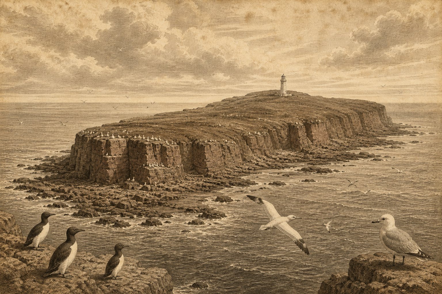
Red sandstone rises above the North Sea, with open water between the cliffs and the mainland coast. Heligoland (Deät Lun; German: Helgoland) lies in the German Bight, where the sight of solid ground carries an immediate attraction for anyone drawn to distant shores. Nothing in the supplied history preserves the thoughts of the first people who approached it. The rock itself offers a firmer beginning: a red face above the water, seabirds at the western cliffs, and a shore whose lower ledges appear and disappear with the tide. Even before its history enters the picture, the island gives the eye somewhere definite to rest.
Its pull comes partly from that abrupt meeting of water and stone, partly from the knowledge that people returned after almost everything built here had been destroyed. Heligoland belongs to Germany, within Pinneberg district in Schleswig-Holstein, approximately 50 km from the mainland coast of Eiderstedt. The main island covers about 1.0 km². Within that small area, the longing to reach a far shore meets the harder question of what it means to remain there.
The red face above water
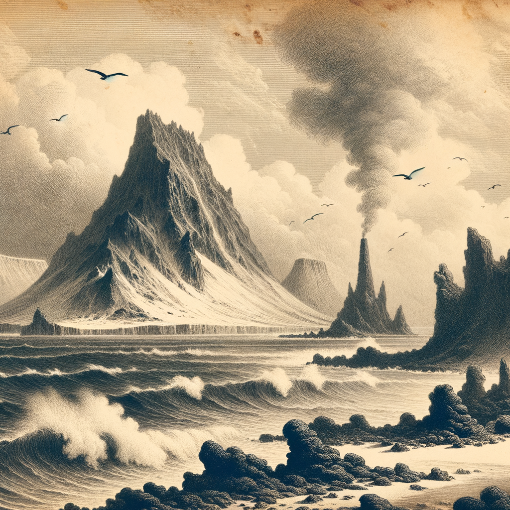
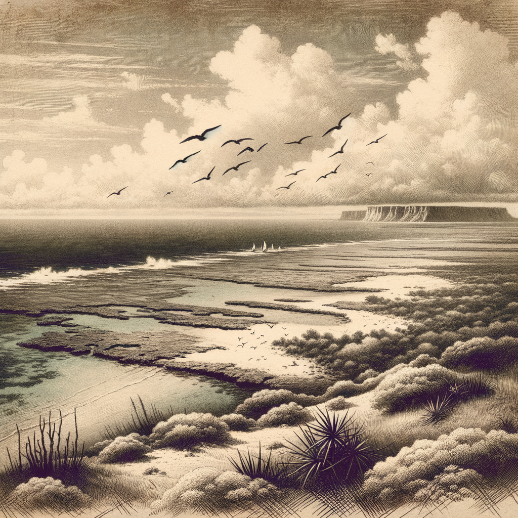
Seen from the sea, the sandstone gives the island a clear material presence before individual places acquire their names. The cliffs are red. Along the west and north, rocky intertidal ground emerges as the water withdraws, then passes beneath it again. An approach imagined at different stages of the tide therefore meets a different edge, although the higher rock remains recognizable. For a reader accustomed to following old voyages across a chart, this is enough to slow the imagined passage: the shore deserves attention before any account of arrival can begin.
Düne, the associated island, was once joined to the main island; its separation belongs to the early eighteenth century. The present view contains water where a connection formerly existed. That change gives even the outline of Heligoland a history, independent of the flags and military works that followed. Readers drawn to neighboring island names such as Hallig Gröde and Hallig Habel encounter here a coast worth considering on its own terms. The red sandstone, the divided land, and the periodically exposed rock supply enough detail to hold the imagination without an invented landing scene.
A shore people returned to
The difficulty of staying on Heligoland cannot be separated from what people did to it. British air raids almost completely destroyed the island in April 1945, and the Allies detonated its underground military installations in 1947. The cliffs remained. It is tempting to let the surviving rock soften those events into a distant story, especially when seabirds occupy the same field of attention. Yet almost complete destruction means that an inhabited place had been made unfit for its ordinary life. The sea around it was still there; the possibility of home had been violently interrupted.
Civilian return became possible in 1952, when reconstruction began. Those facts carry more weight when considered from the shore, with the small extent of the island in mind. Returning meant beginning again within familiar boundaries, on land whose buildings could no longer provide the continuity they once had. No invented account of a particular family’s arrival is needed to make that undertaking felt. The rebuilding itself supplies the human presence: people choosing this limited ground again, accepting the work that followed, and restoring a settled life beside the same North Sea that had surrounded their absence.
The drop beneath the nests
At Lummenfelsen, on the western cliffs, attention moves from the island’s damaged human world to the exposed lives of its birds. Northern gannets (Morus bassanus) breed here, at their only German breeding location. The cliff is occupied. In June, during the Lummensprung, flightless young guillemots jump into the water from heights of up to 50 m. The fact is difficult to take in from above: a young bird leaves the ledge before it can fly. For anyone drawn to the uncertain moment between departure and arrival, this particular stretch of sandstone offers something exact and disquieting.
The nests also bring the wider sea close to the cliff in a more troubling way. Synthetic fibers incorporated into gannet nests increase the risk of entanglement and strangulation, while avian influenza has caused losses in the colony. Distance from the mainland provides no assurance of safety. Looking toward the breeding ledges therefore involves more than admiring birds against red rock; the materials around their bodies matter too. Lummenfelsen is a nature reserve managed by Verein Jordsand, and its protection concerns the vulnerable details of occupied nests as much as the visible sweep of the cliff.
Water carried into the laboratory
Another kind of persistence takes place at the Biologische Anstalt Helgoland, now part of the Alfred Wegener Institute. The surrounding water receives sustained attention through long-running phytoplankton and zooplankton sampling at Helgoland Roads. Plankton enters the picture. Beside the immediately legible cliff, this work asks for patience with life that a distant view cannot resolve. The station also houses a scientific diving center and a school laboratory for marine science. Heligoland remains a place where people look outward, although part of that inquiry now begins with repeated samples from the water close beside the island.
From offshore, the red sandstone still offers the first clear point for the eye, as it did at the beginning of the imagined approach. Knowledge of the island adds the return of its inhabitants, the occupied ledges, and the patient examination of the surrounding water. For the restless reader, the attraction of a distant shore can survive such knowledge and become more particular. Heligoland need not be empty or unknown to hold that longing. At the western cliff, a flightless guillemot chick reaches the edge of the rock, with the North Sea below.
Quick facts
- Location: German Bight, North Sea; coordinates approximately 54°10′N 7°53′E; approximately 50 km from the mainland coast of the Eiderstedt peninsula.
- Area: Main island approximately 1.0 km²; associated island Düne approximately 0.7 km².
- Highest point: 61 m above sea level.
- Status: German municipality within Pinneberg district, Schleswig-Holstein.
- Population: 1,297 inhabitants in the municipality on December 31, 2025.
- Wildlife/Protection: Lummenfelsen has been a nature reserve since 1964 and is managed by Verein Jordsand; Heligoland is Germany’s only northern gannet breeding location.
Sources
- Helgoland Tourismus-Service: Helgoland auf einen Blick
- Helgoland Tourismus-Service: History path
- Bundesamt für Naturschutz (2018): Helgoland
- Statistisches Amt für Hamburg und Schleswig-Holstein (2025 population; 2024 area): Meine Region: Regionaldaten für Helgoland
- Verein Jordsand zum Schutz der Seevögel und der Natur e. V.: Der Lummenfelsen
- Bundesamt für Naturschutz (2024–2027 project): Artenhilfsprogramm Basstölpel
- Journal of large-scale research facilities (2023): Marine Stations Helgoland and Sylt operated by the Alfred Wegener Institute Helmholtz Centre for Polar and Marine Research
- Wikidata: Heligoland (Q3038)